
Angkor (of the Khmer culture) covered more than 160 square kilometers in northern Cambodia, situated on the edge of the Great Lake (Tonle Sap). The Classic Angkor civilization was part of the Khmer culture (between AD 802 and 1327). Prior to AD 802 the Khmer political landscape consisted of a number of independent kingdoms (Coe, 2003). Angkor became the imperial capital of the Khmer Empire. Ancient Angkor was a vast complex of temples built from the 8th to the 13th century AD. Angkor has been referred to as the world’s first mega city and a hydraulic city. A study by Evans, et al (2007) concluded that the area of Angkor’s urban complex was roughly 900 to 1,100 square kilometers which is almost four times the size of present day New York City. Angkor was a low density city with dwellings and water tanks spread over the area and connected by roads. Angkor is located in the Lower Mekong Basin which is subject to an annual cycle of monsoons causing alternation between a wet rainy season (summer monsoon) and a strongly marked dry season. The heavy rainfall during the summer monsoon causes the Mekong River and its tributaries to rise and flood low-lying areas. Snow melt in Southwestern China and Tibet flowing down the Mekong contribute to the flood volume. The Tonle Sap River, a tributary of the Mekong, reverses flow because of the back water effects from the large flows in the Delta of the Mekong and causes the water levels in the Great Lake (Tonle Sap) to rise. Floods subside during the winter monsoon and again river flow is toward the Delta causing the water levels in the Great Lake (Tonle Sap) to lower. Total rainfall in the Lower Mekong Basin fluctuates from year to year and is never very high, with an average of 150 cm per year in area of Angkor. In Phnom Penh the mean rainfall is 143 cm and can be as high as 231 cm and as low as 97 cm.
IDL TIFF file
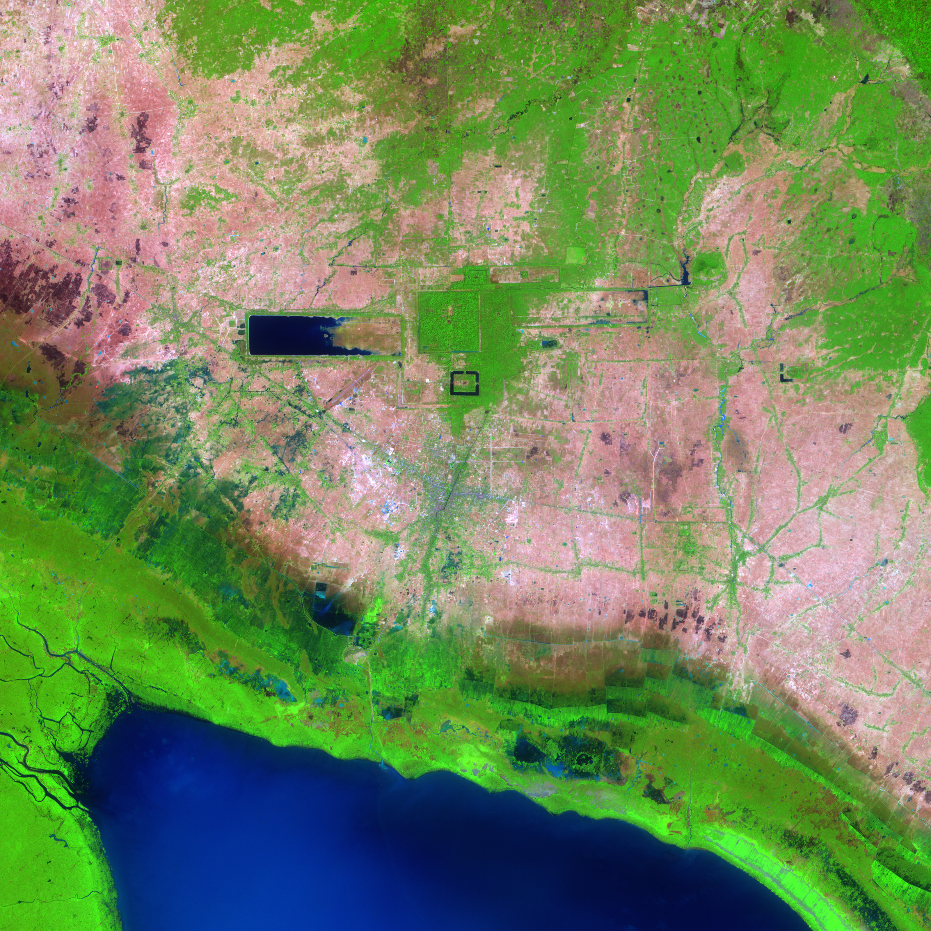
The simulated natural color image was acquired on February 17, 2004, by the Advanced Spaceborne Thermal Emission and Reflection Radiometer (ASTER) on NASA’s Terra satellite. It is centered near 13.4 degrees North latitude, 103.9 degrees East longitude, and covers an area of 22.4 x 29.9 km. In this image, water is black and blue, vegetation is bright green, and bare earth is pink. Satellite of Angkor (Courtesy of NASA) The Angkor Wat temple complex is visible in the above image as the small black frame just below the image center. North of Angkor Wat is the larger square of Angkor Thom, the inner royal city built in the 12th century. The now dry moat around Angkor Thom is still visible as a pale pink square cut through the surrounding green vegetation. Within the square is a palace, homes for priests and government officials, and government administration buildings. West of Angkor Thom is the vast Western Baray, a reservoir built in the 11th century. The earthen walls constructed to hold water form a perfect rectangle, oriented exactly east-west. Possibly the Western Baray and its predecessor, the Eastern Baray, were built to provide water to the city, control water levels on the Siem Reap River, and provide irrigation water to the surrounding plain. The smaller Eastern Baray is also visible in this image. (Adapted from NASA) 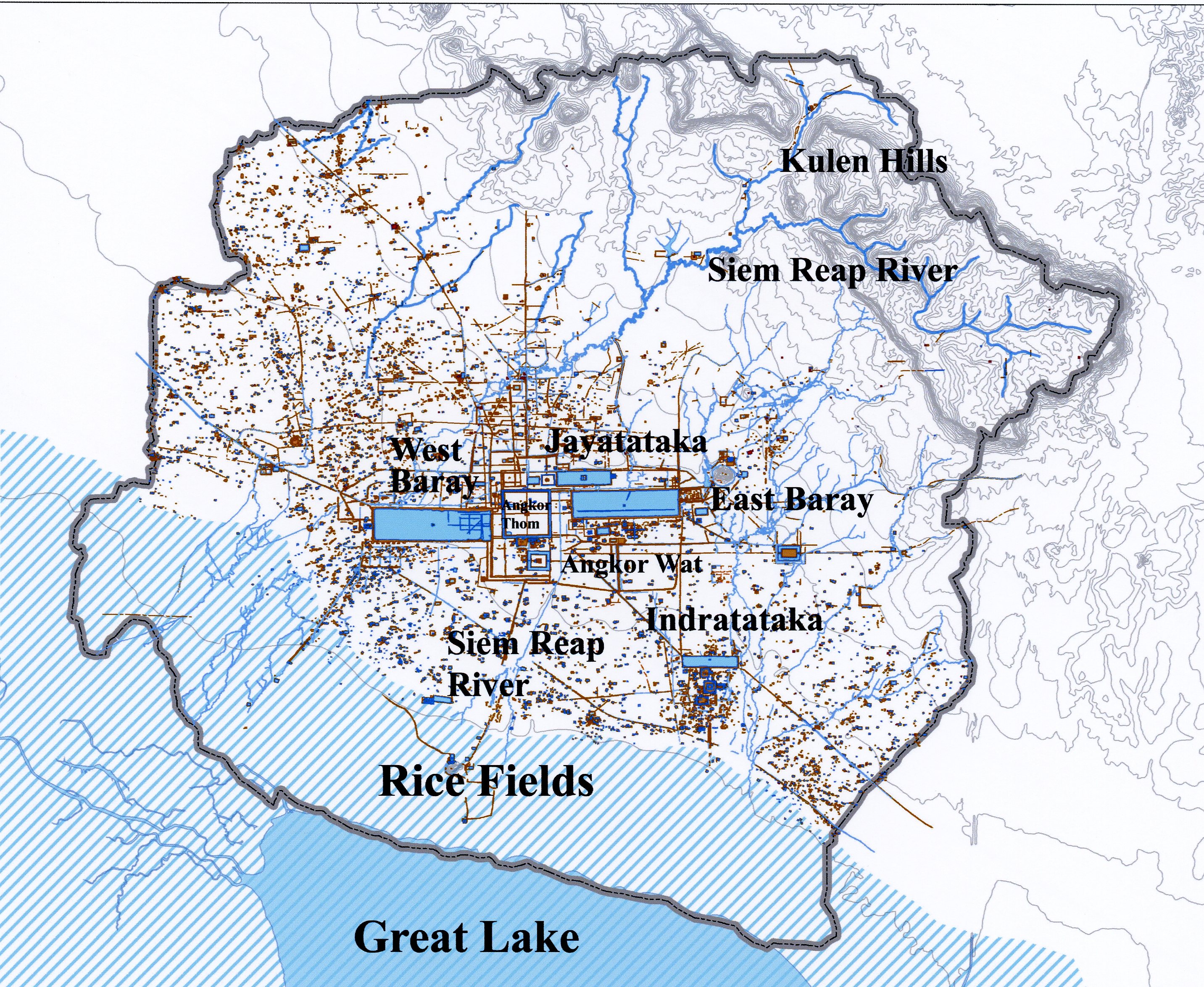 Map of Angkor showing surface features such as topography and waterways. (Modified figure courtesy of NASA with print added)
Barays The ability to store water was accomplished by constructing large reservoirs called barays. These reservoirs had inlet and outlet control structures so that they were used both in the time of drought and flooding. There were four large barays which had the respective approximate storage volumes (Coe, 2003): West Baray (48 million m3), East Baray (37.2 million m3), Preah Khan (Jayatataka) Baray (8.7 million m3), and Indratataka Baray (7.5 million m3). The approximate surface areas of these barays are West Baray (16 million m2), East Baray (12.4 million m2), Jayatataka Baray (2.9 million m2), and Indratataka Baray (2.5 million m2). The West Baray even holds water today. All of these barays may not have been functional at the same time, but one thing is for certain the water management system including the barays and other water infrastructure such as moats, canals, etc. required constant maintenance. A vast canal system was built that was used for both irrigation and transportation.
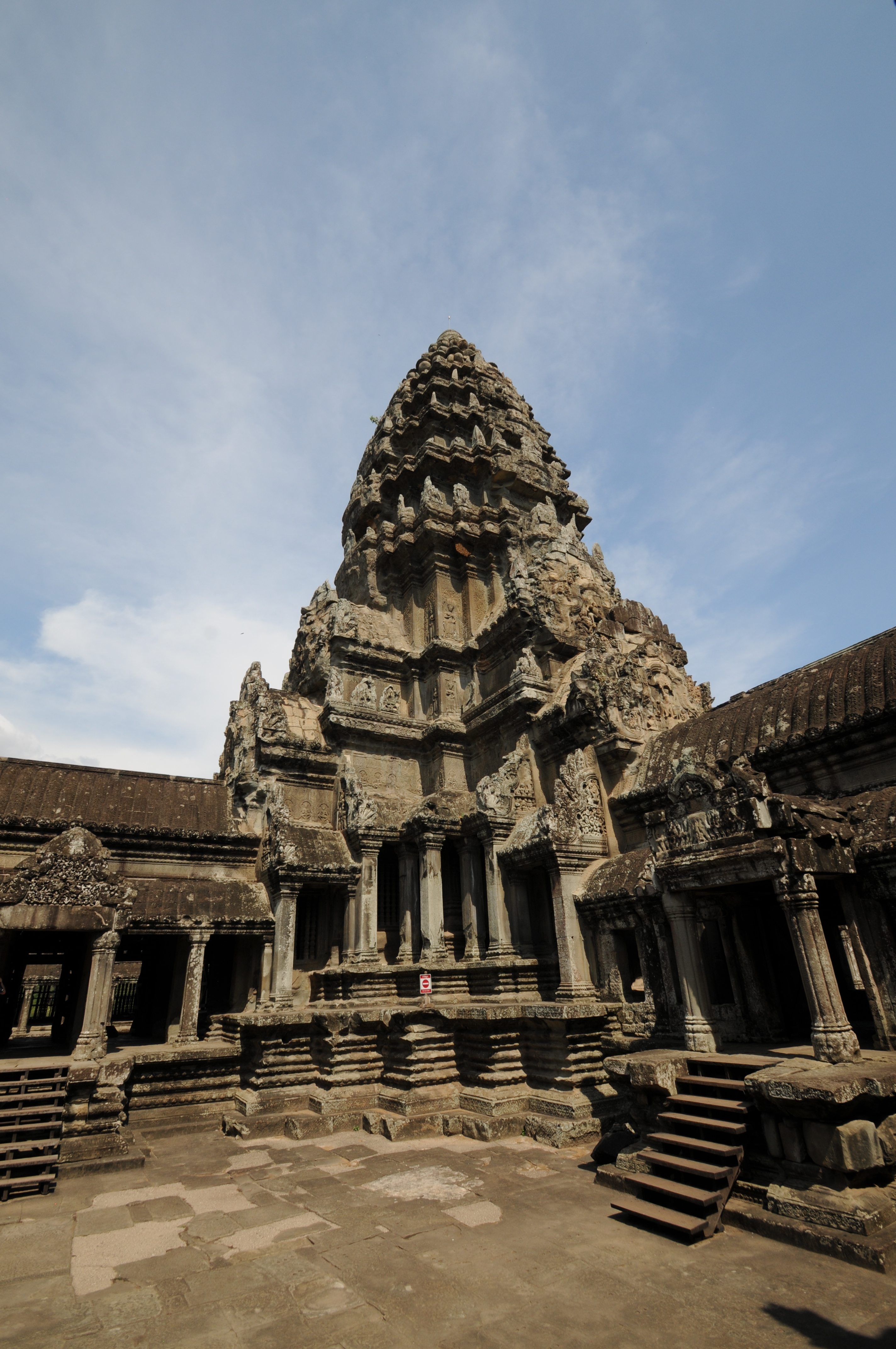
Angkor Wat Angkor Wat is the world’s largest religious monument. it has been referred to as a pyramid of three levels with each side enclosed by a well developed gallery of with four gopuras and corner towers, and crowned by five towers in a quincunx (Freeman and Jacques, 2013).
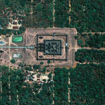
Satellite photo of Angkor Wat inside the moat (Courtesy of NASA)
 At entrance
  Entrance/bridge to Angkor Wat. Entrance to Angkor Wat is from the West as compared to the other temples which have the entrance from the East.
 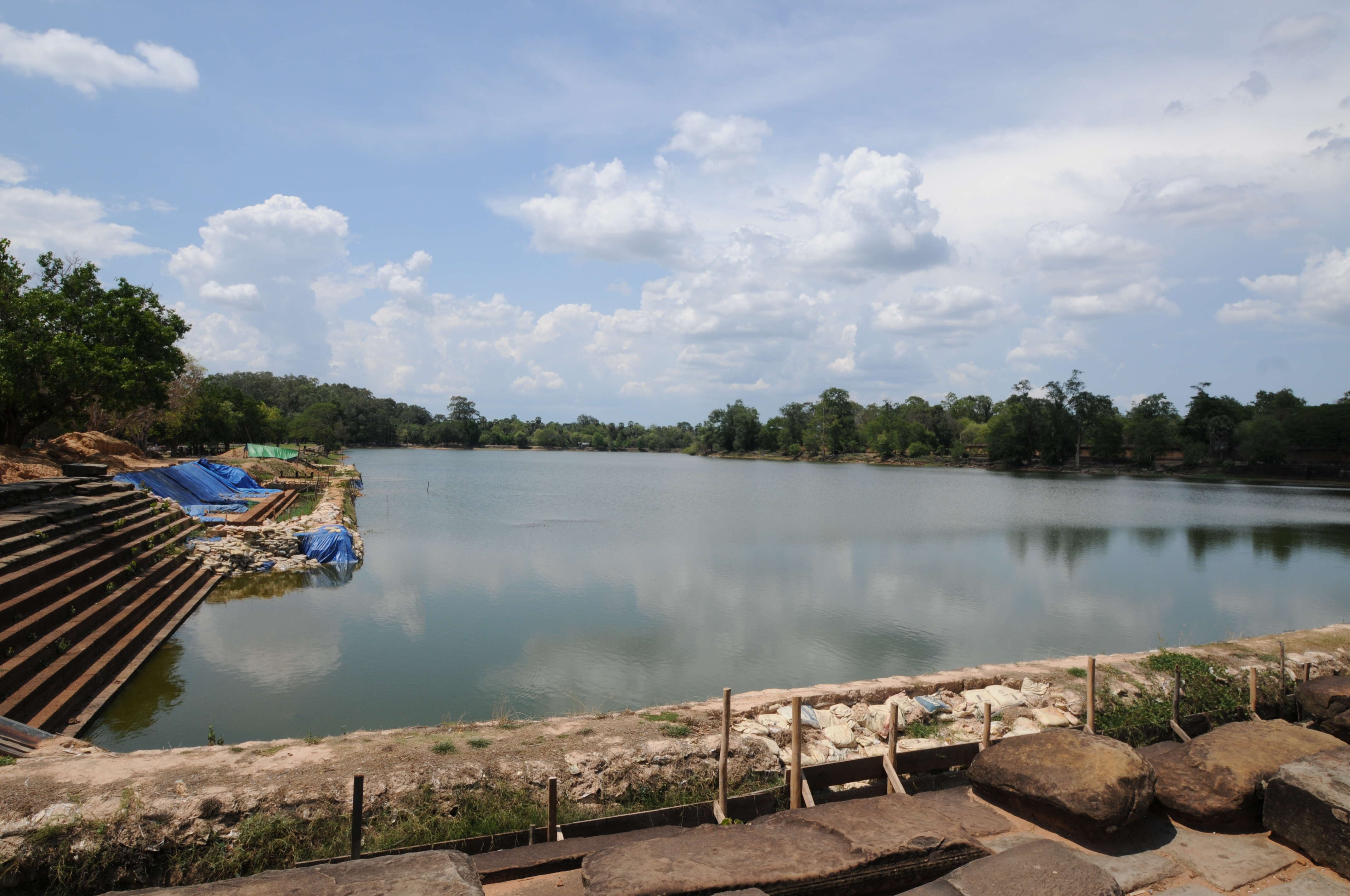 Moat surrounding Angkor Wat showing bridge. The moat defines the outer limits of Angkor Wat, which has walls faced with laterite and sandstone.
  Reservoir along entrance to Angkor Wat showing pond on left side (to the north) of the entrance walkway
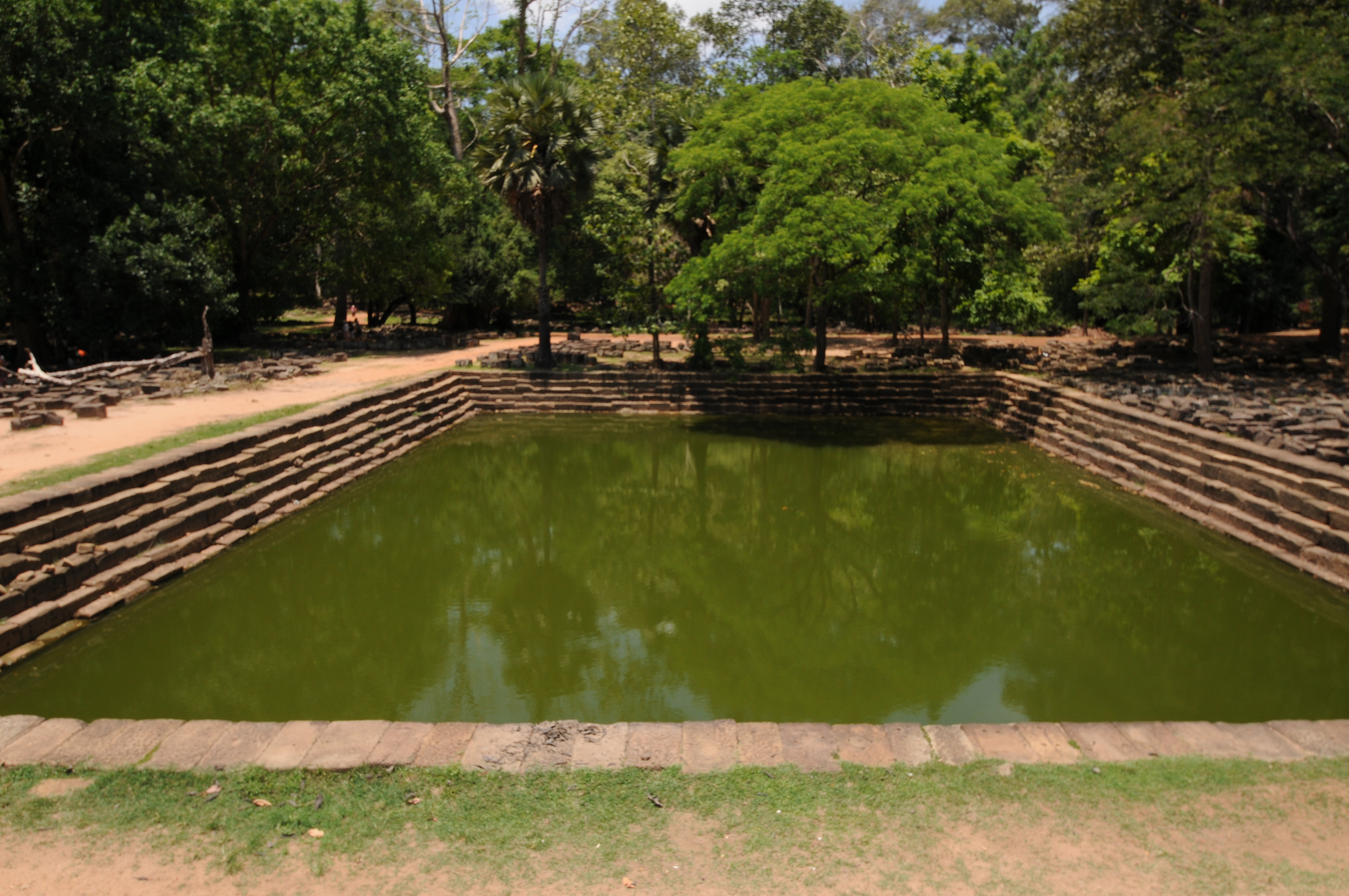
  Reservoir along entrance to Angkor Wat showing reservoir on right side (south side) of the entrance walkway
 Stone basin on second level of Angkor Wat
 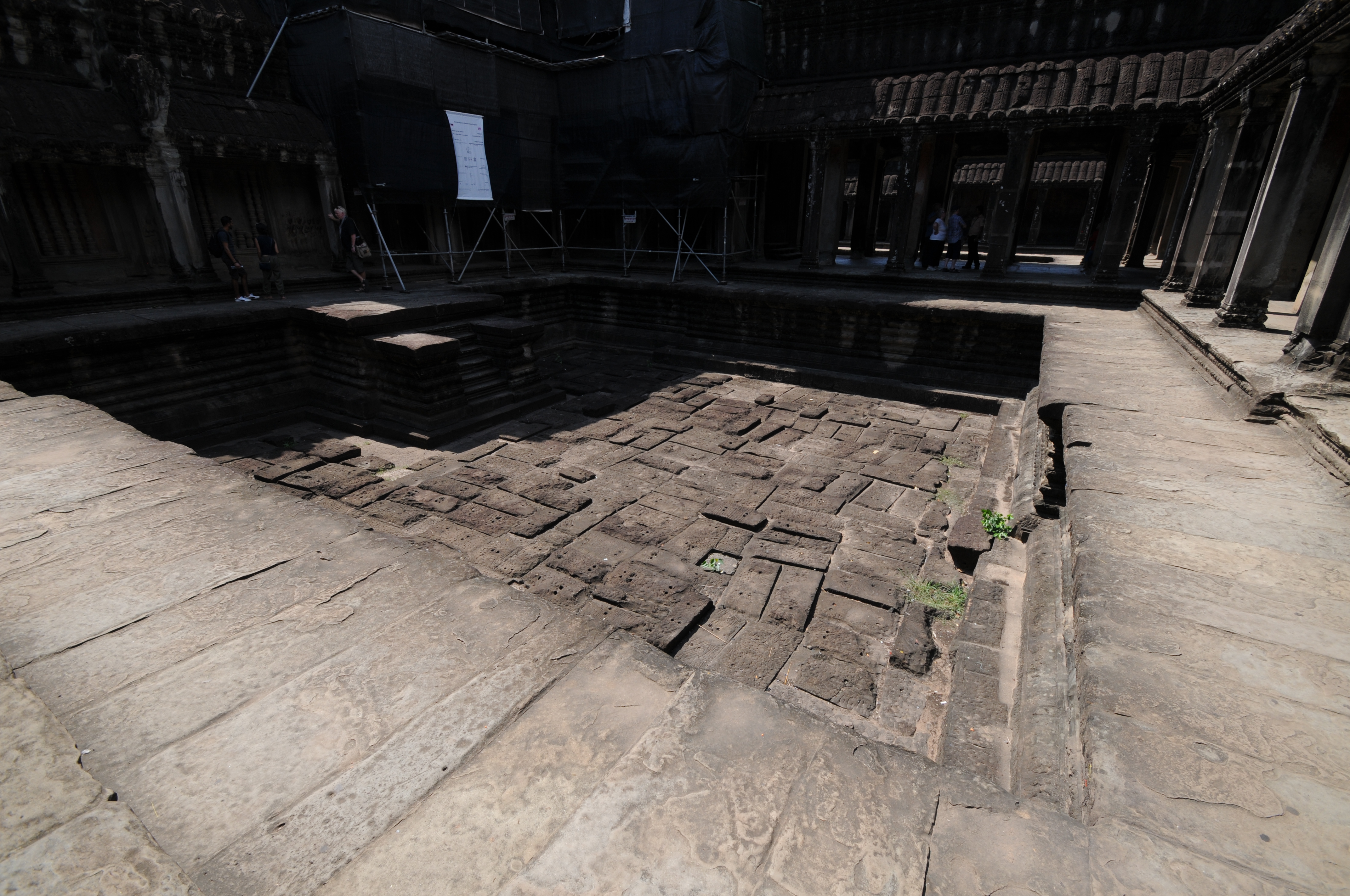 On the second level of Angkor Wat there were four stone rectangular basins (one shown above) in the cruciform cloister. These basins were most likely made water proof using a layer if clay.
 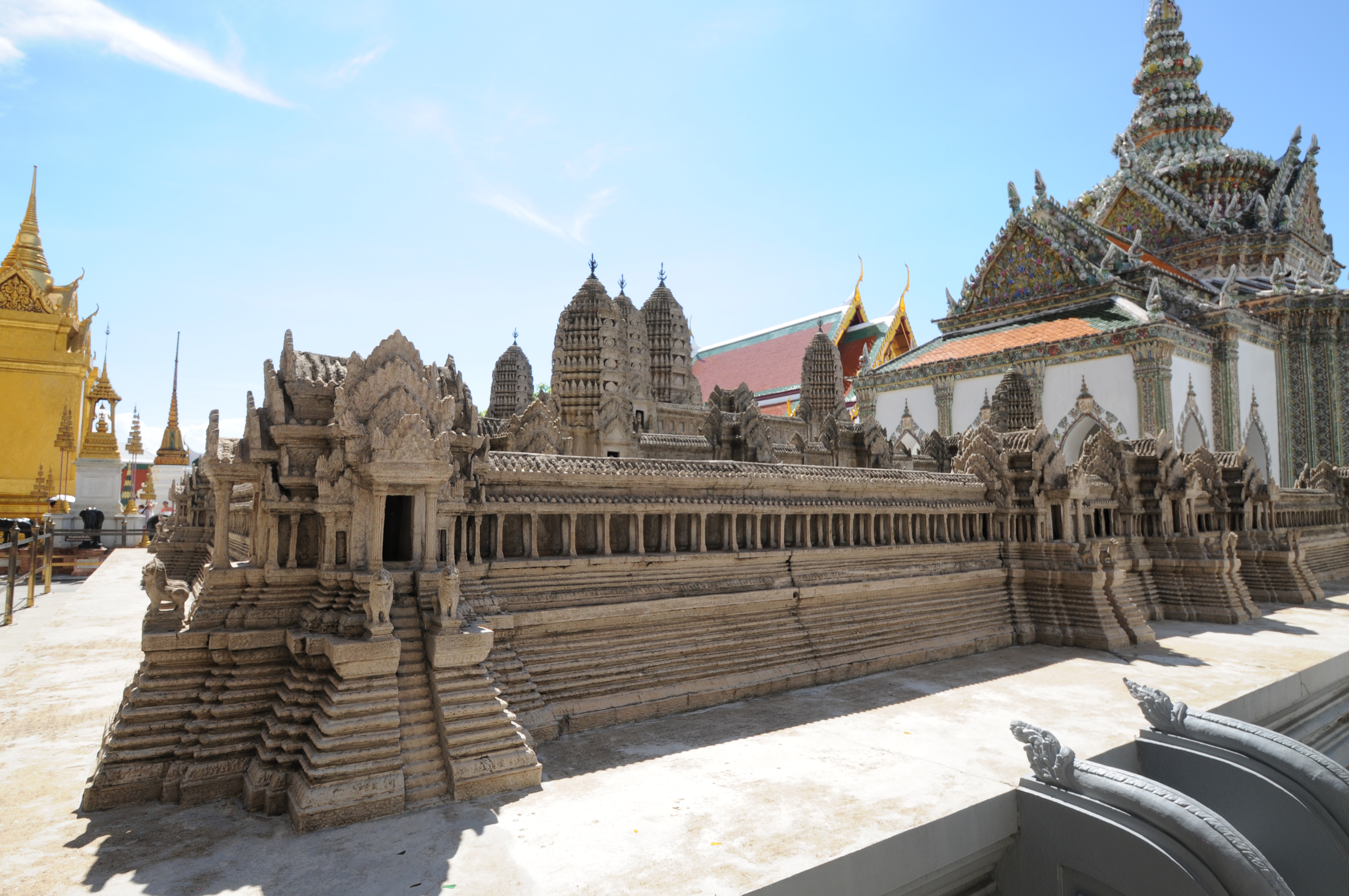 Model of Angkor Wat at the Grand Palace in Bangkok, Thailand
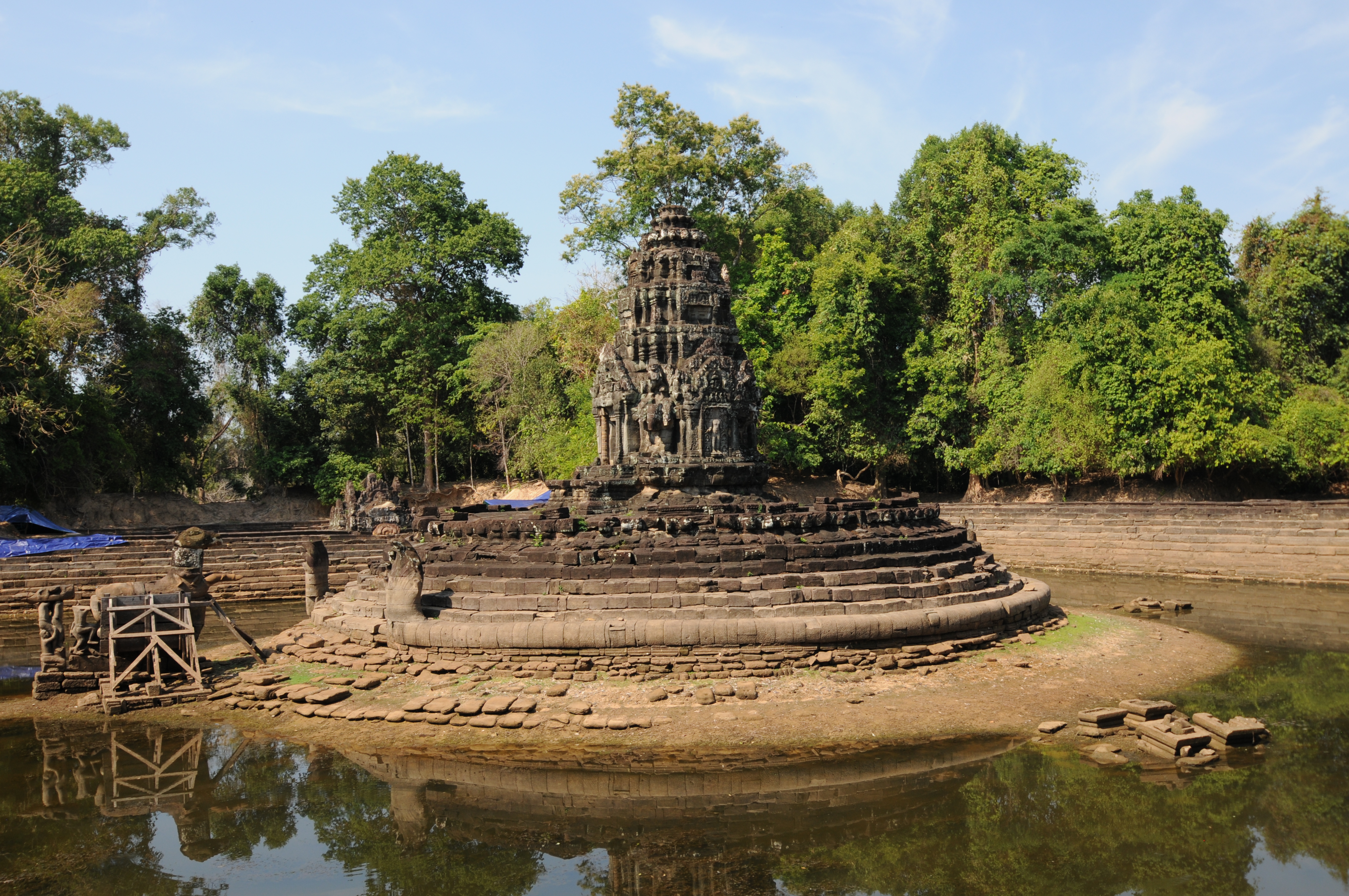
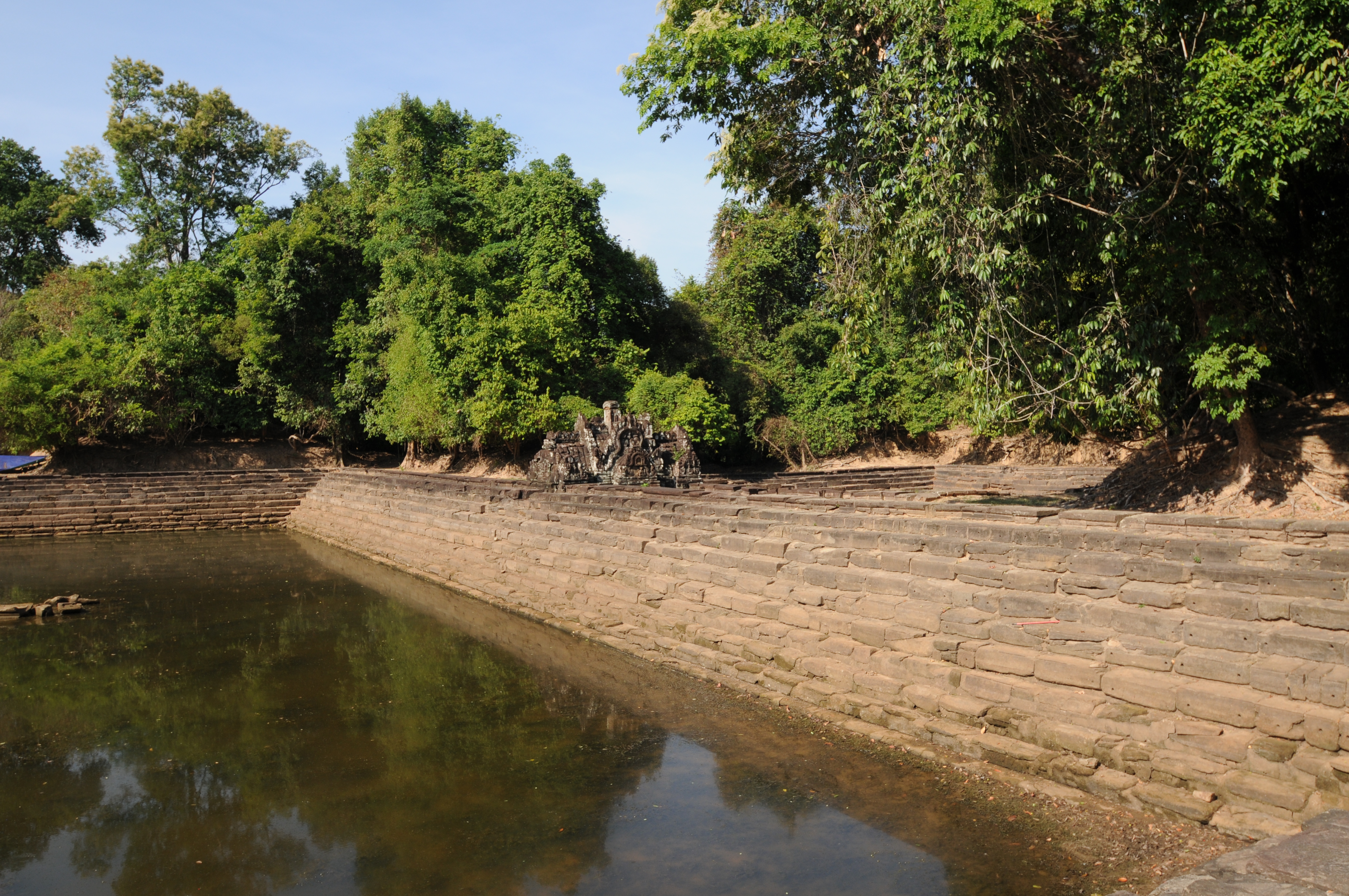
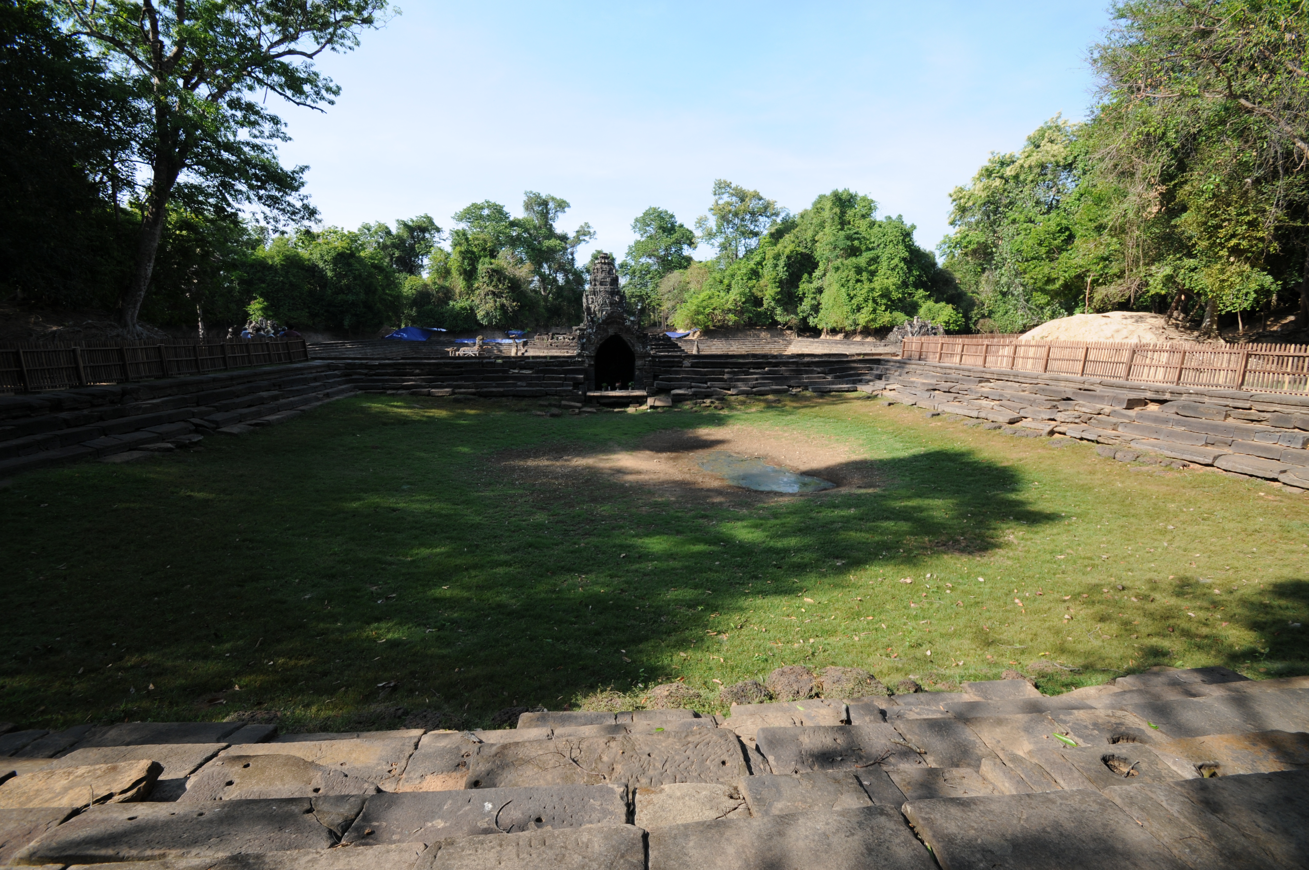
Neak Pean 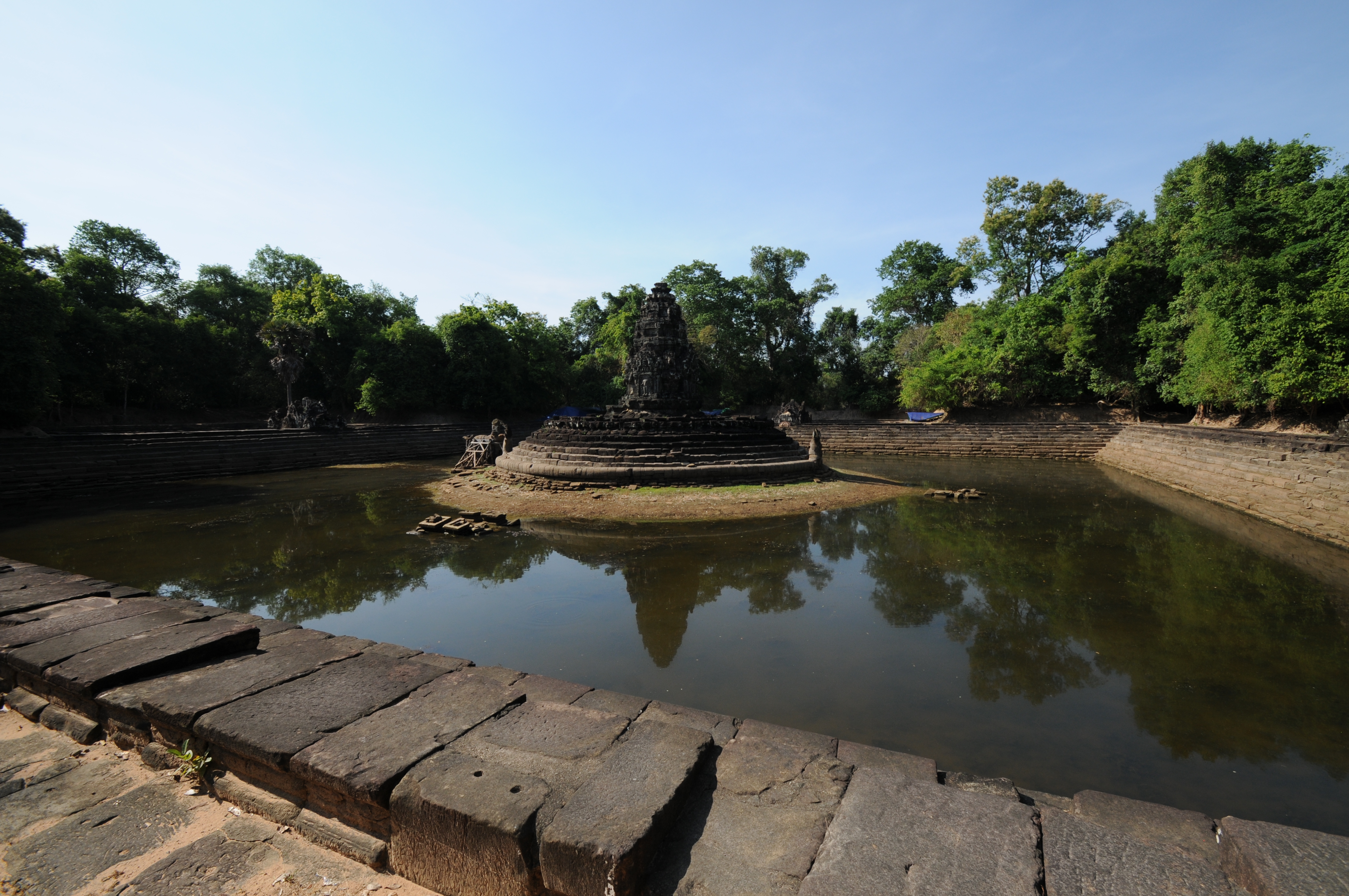
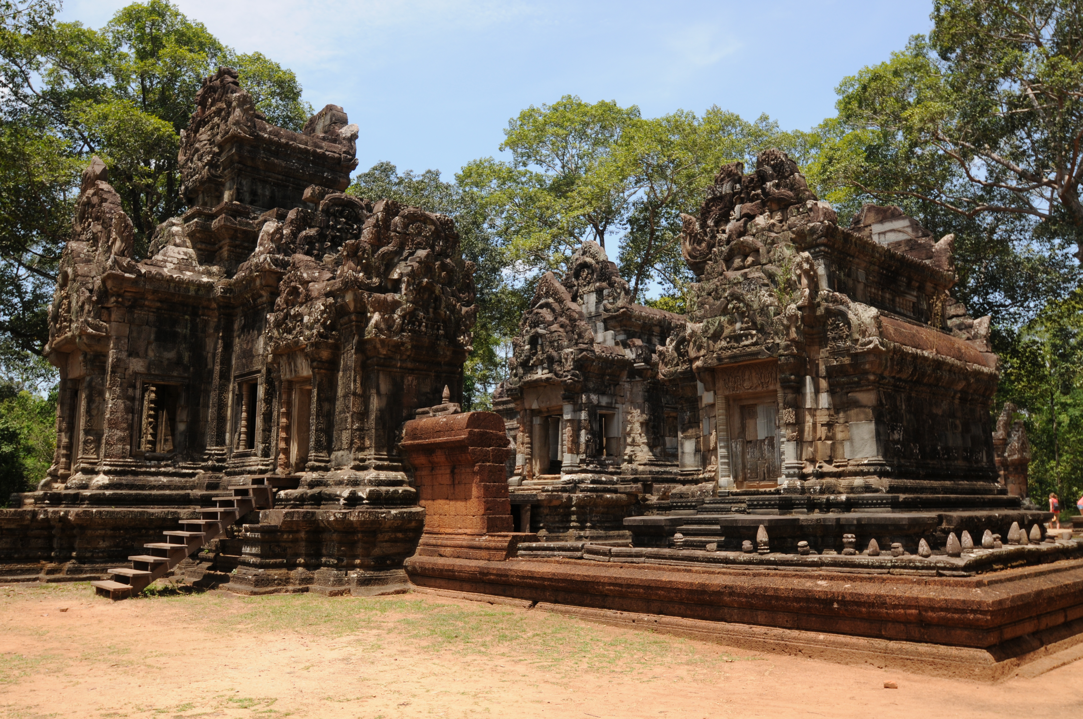
Preah Khan  Preah Khan entrance
 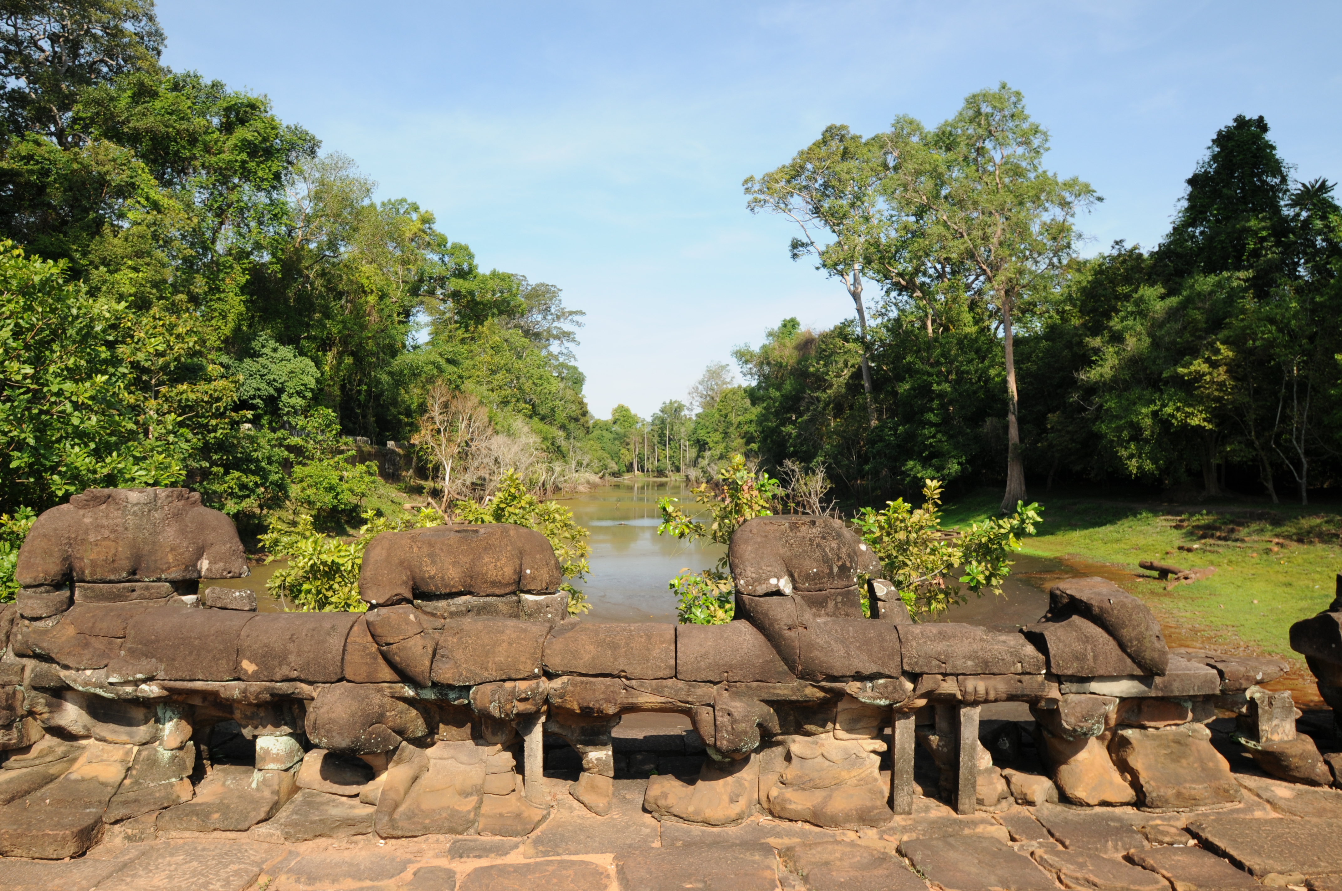 Moat
Moat  Preah Khan baray
  Preah Khan baray
Ta Prohm  Entrance to Ta Prohm
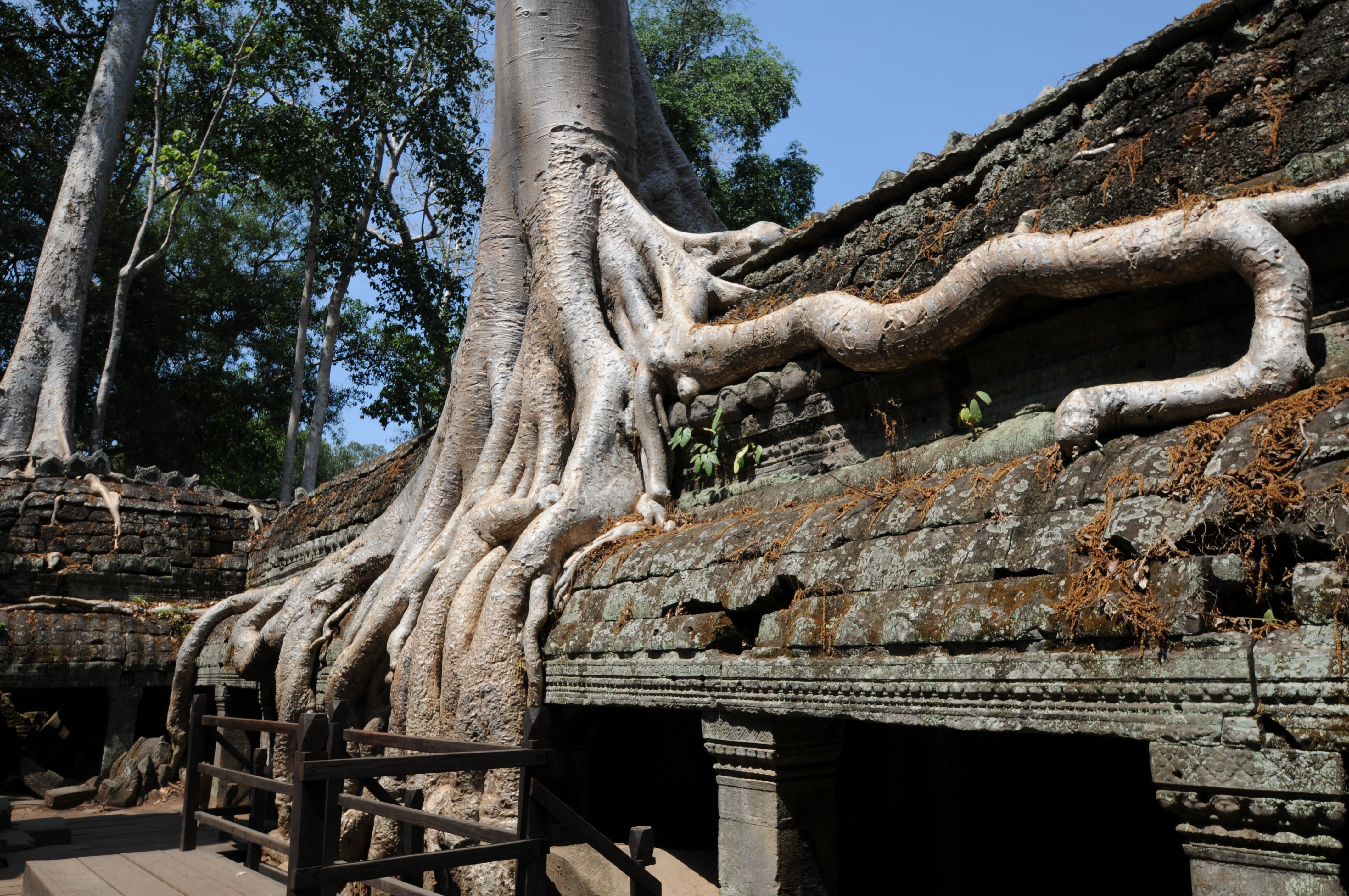
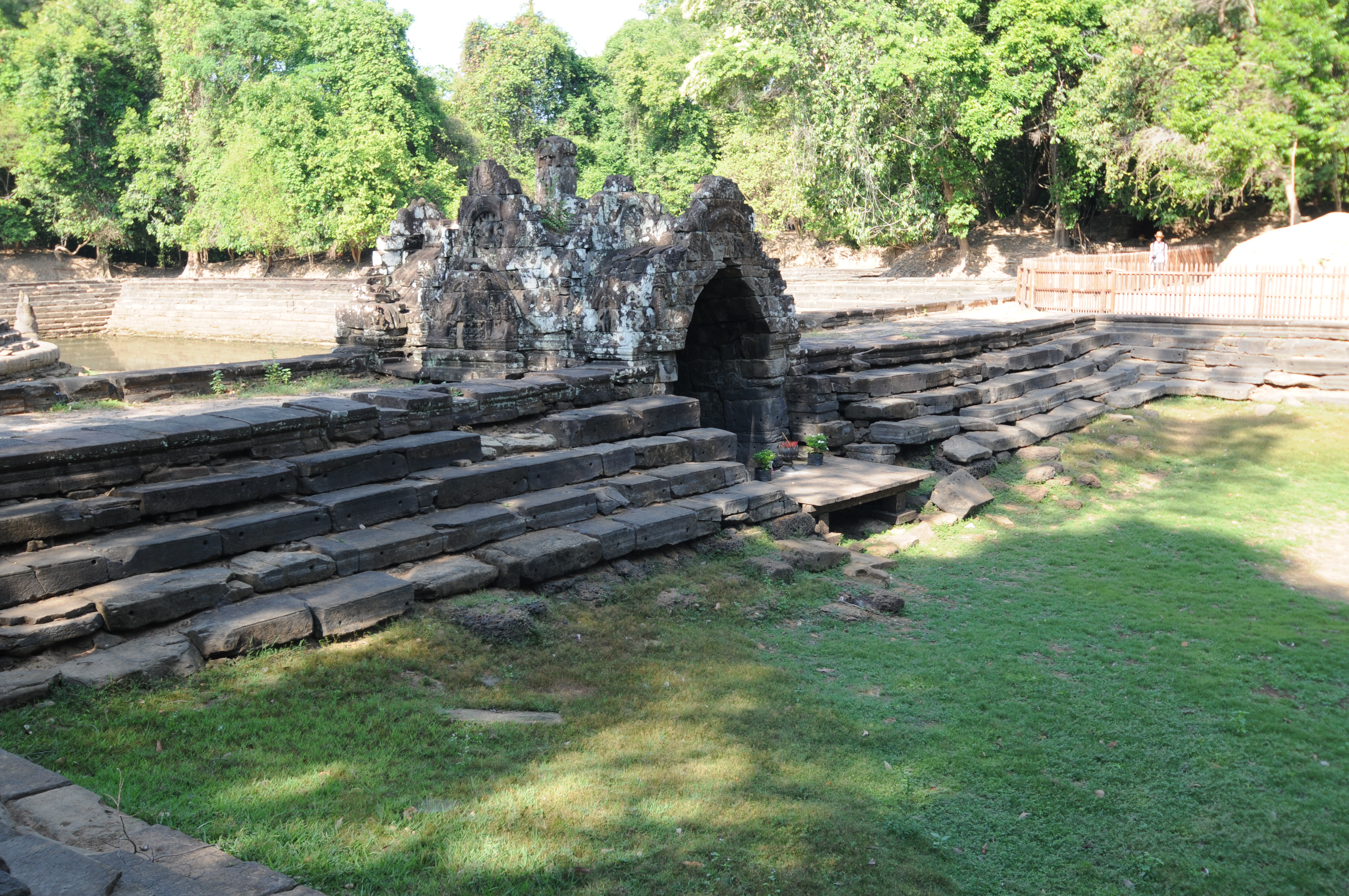
Sras Srang
Two photos below are of Sras Srang, a large reservoir. 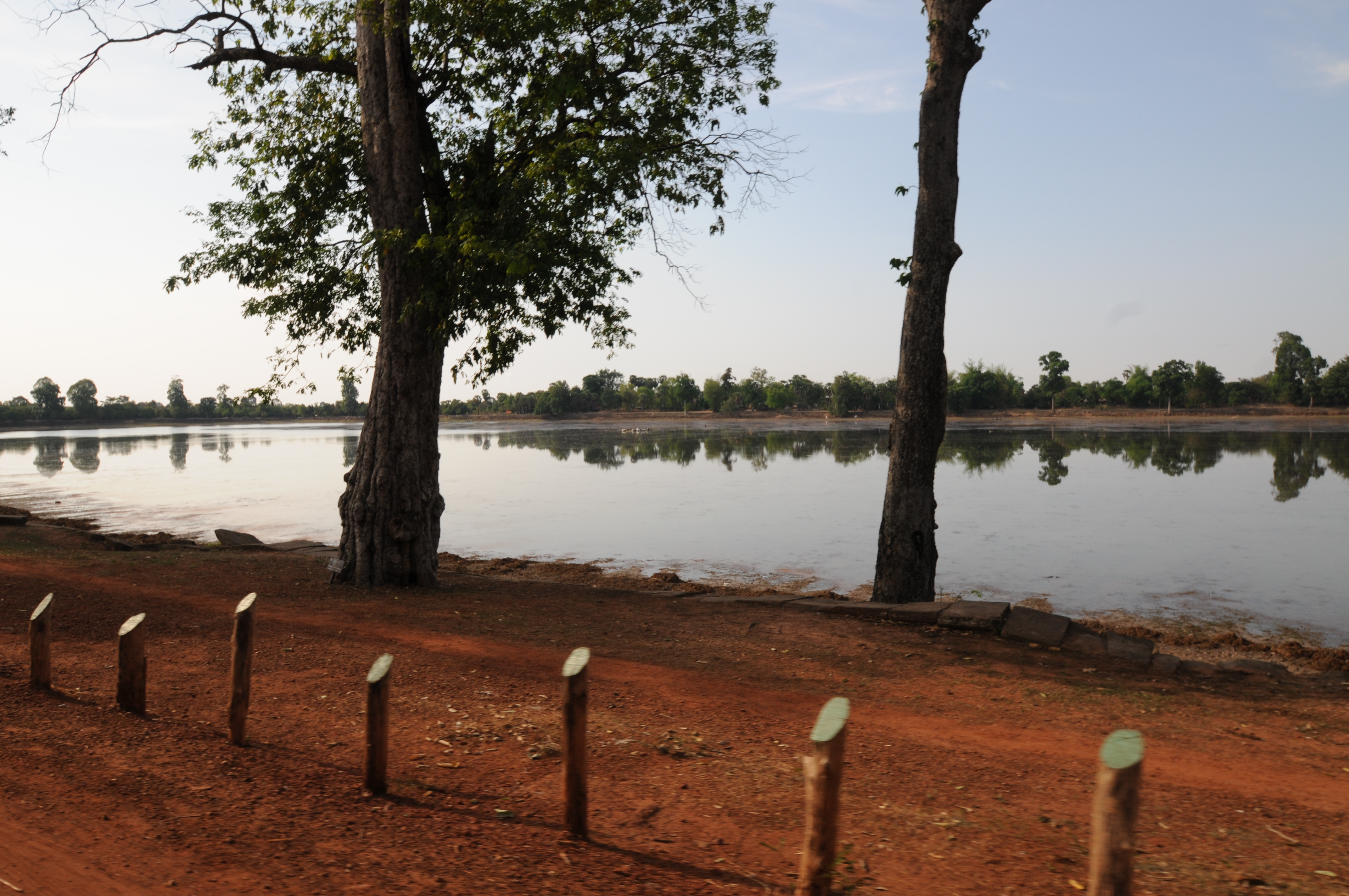
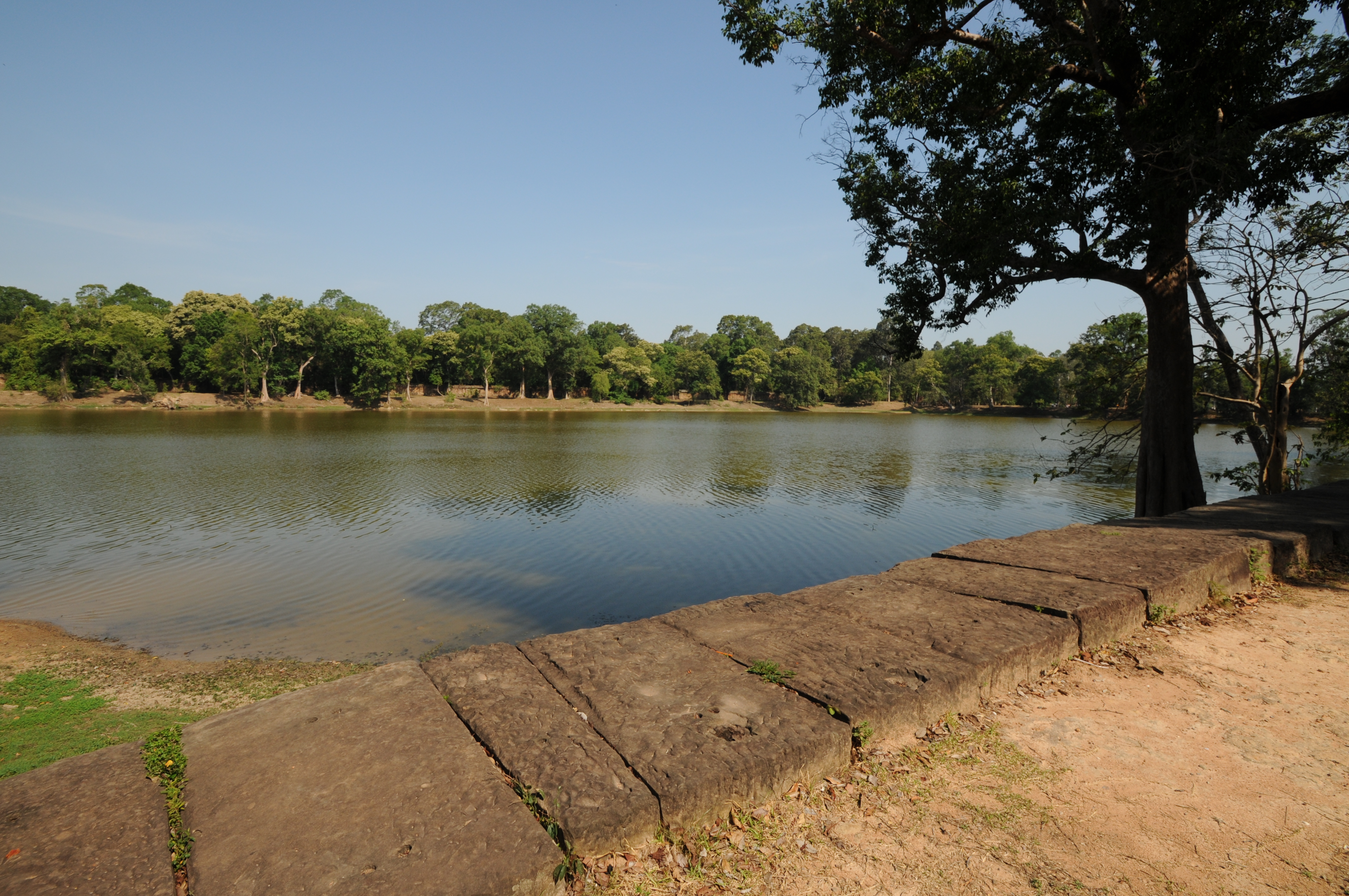 Sras Srang
Angkor Thom 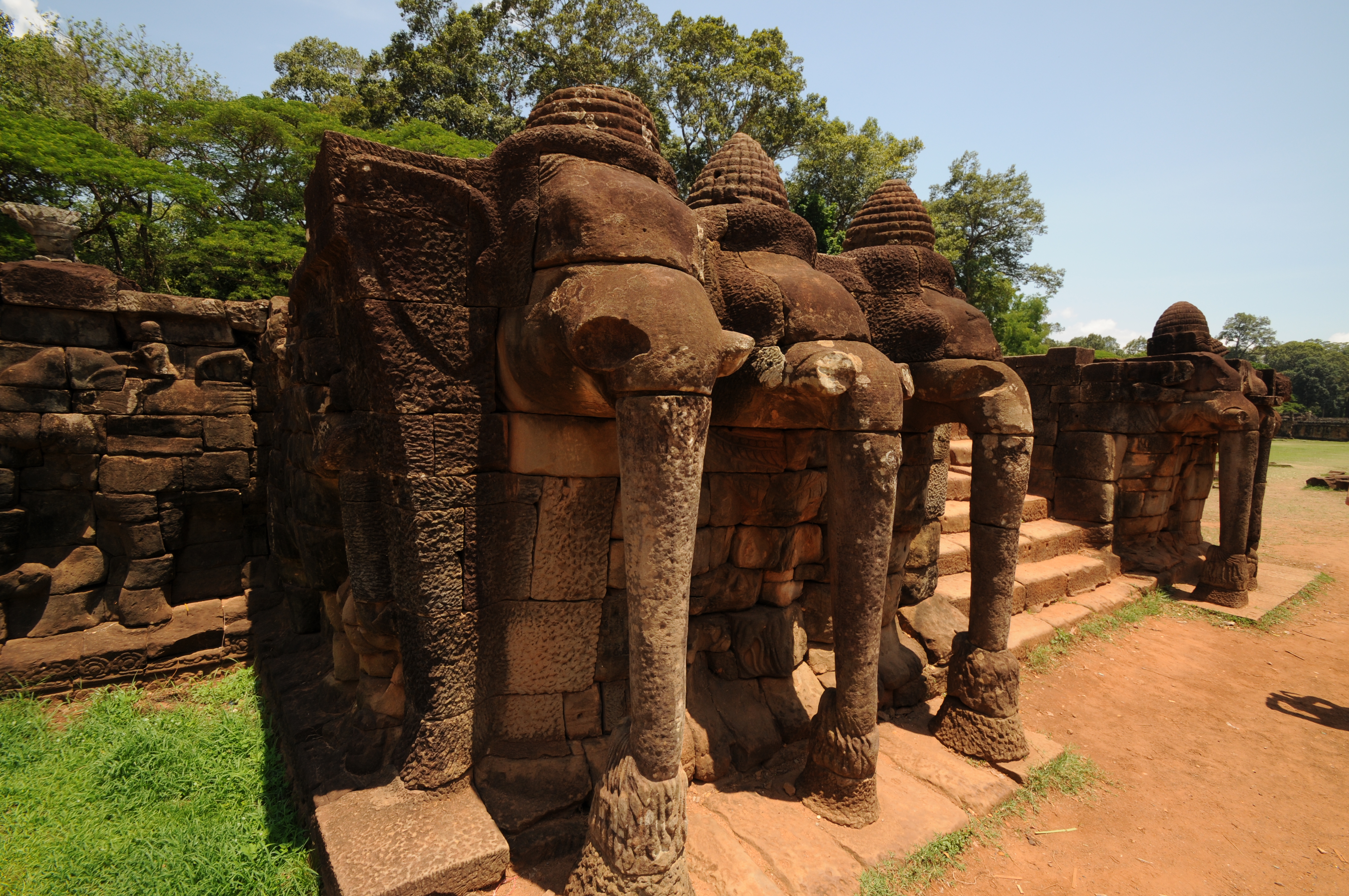 Elephant’s Terrace
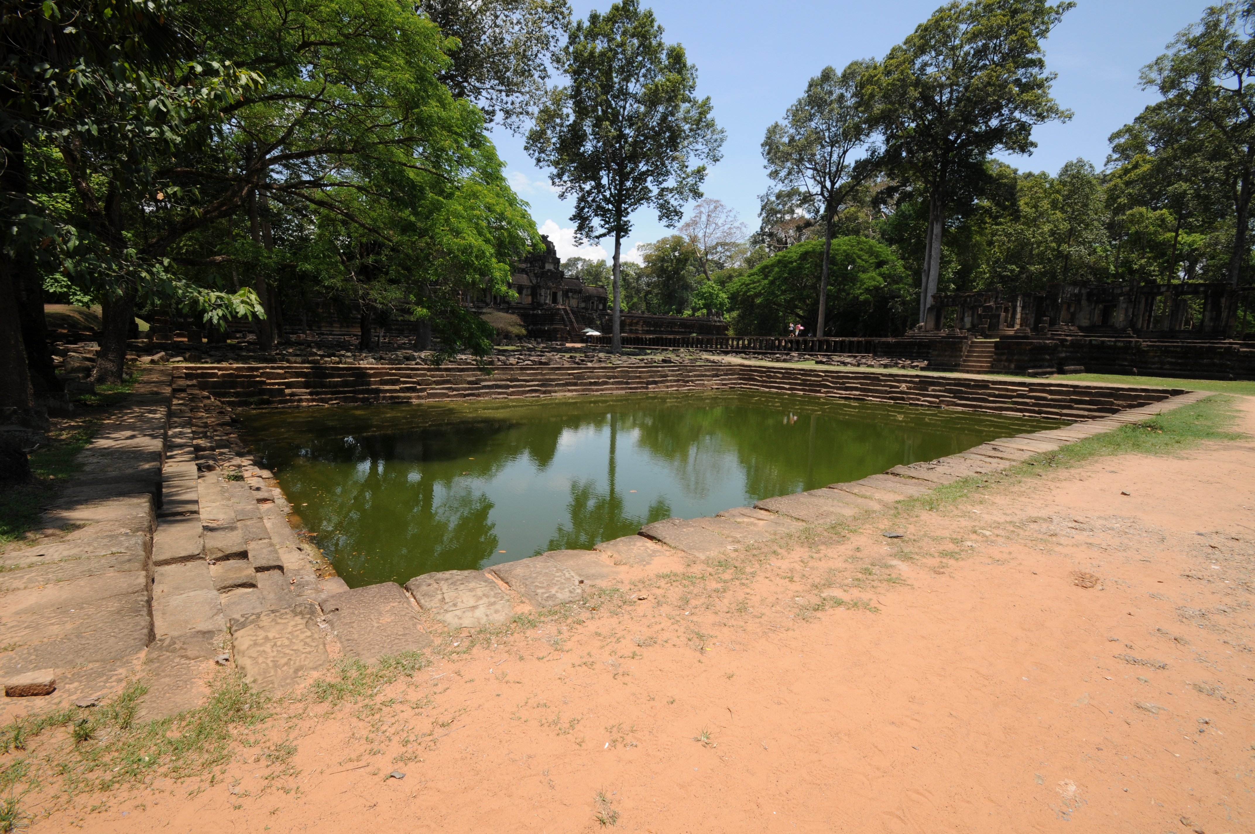

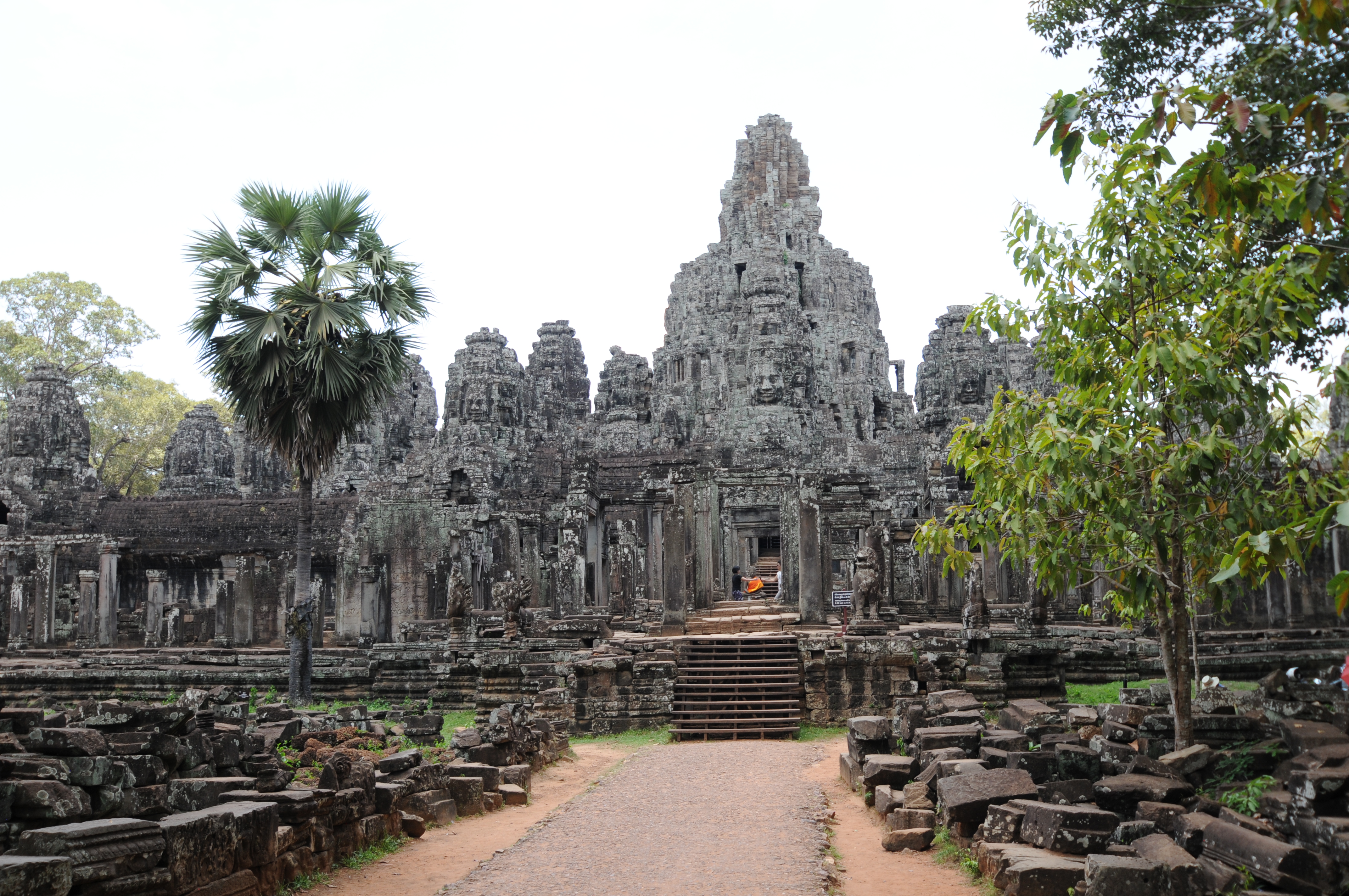 The Bayon is situated at the center of the Angkor Thom.
 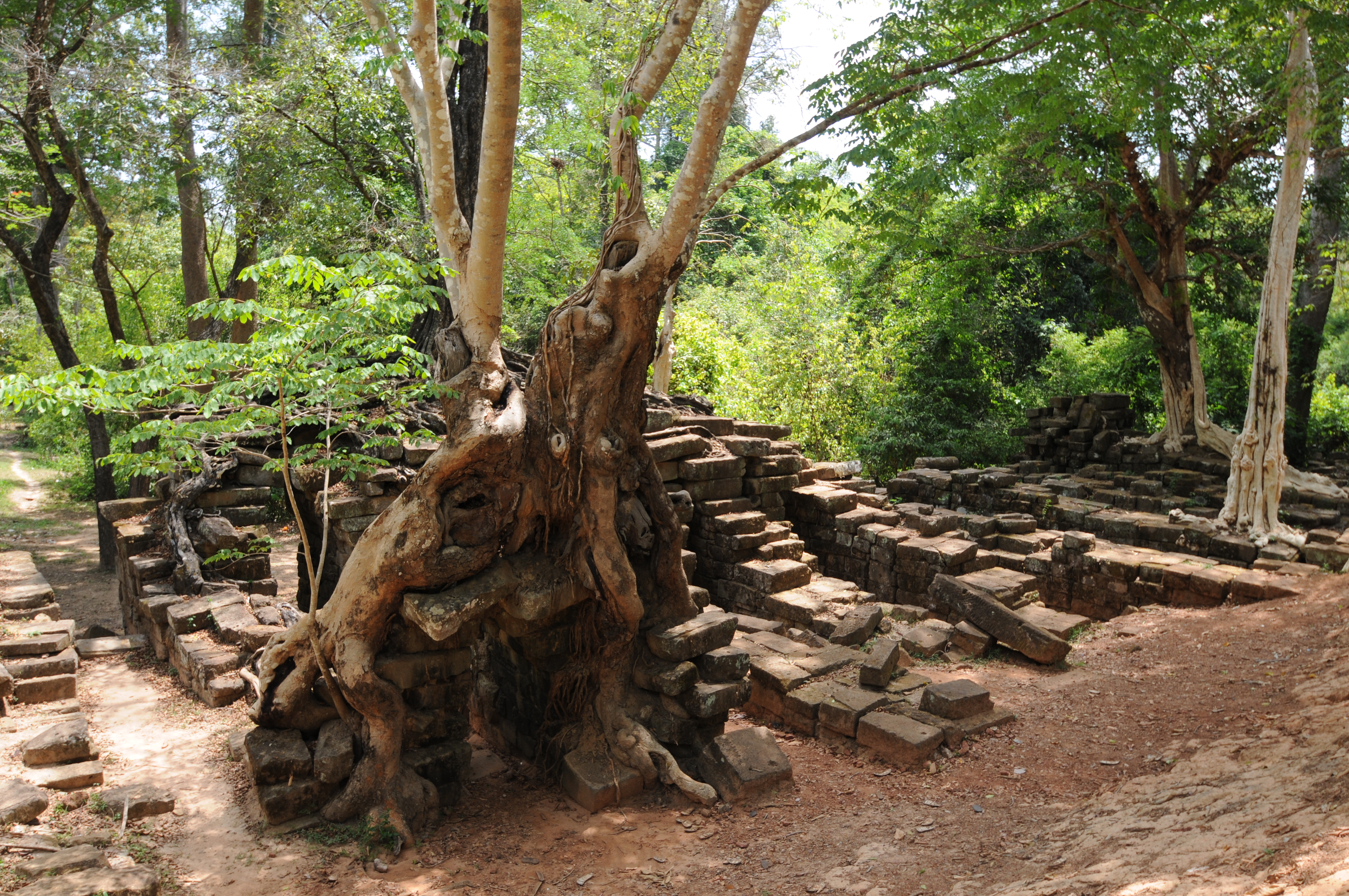 Remains of bridge near Siem Reap River
  Above two photos are of a bridge at Angkor
References
Acker, R (1998) New geographical tests of the hydraulic thesis at Angkor, South East Asia Research¸6(1), pp. 5-47.
Evans D, Pottier C, Fletcher R, Hensley S, Tapley I, Milne A, Barbetti M (2007) A comprehensive archaeological map of the world’s largest preindustrial complex at Angkor, Cambodia, Proceedings of the National Academy of Sciences, 104(36), 14277-14282
Freeman, M. and Jacques, C., Ancient Angkor, Books Guides, River Books Ltd, Bangkok, 2013.
Groslier, B.-P. and J. Arthaud (1957) The Arts and Civilization of Angkor, Praeger, New York National Geographic (2009) Angkor: Why an Ancient Civilization Collapsed, July, pp 36-55
Stone R. (2006) The End of Angkor, Science, 311(5766), 1364-1368
