Nasca and the puquios
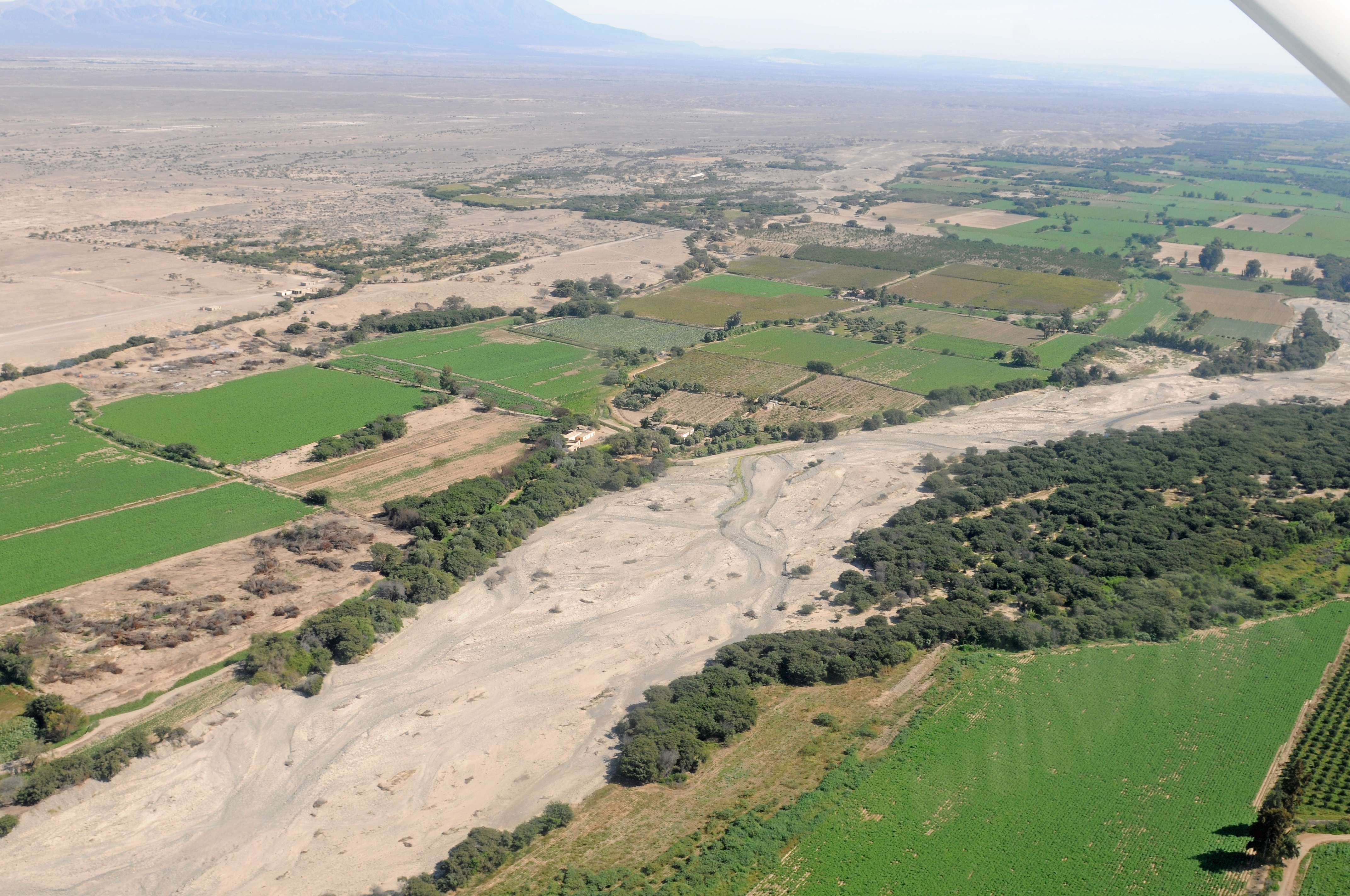
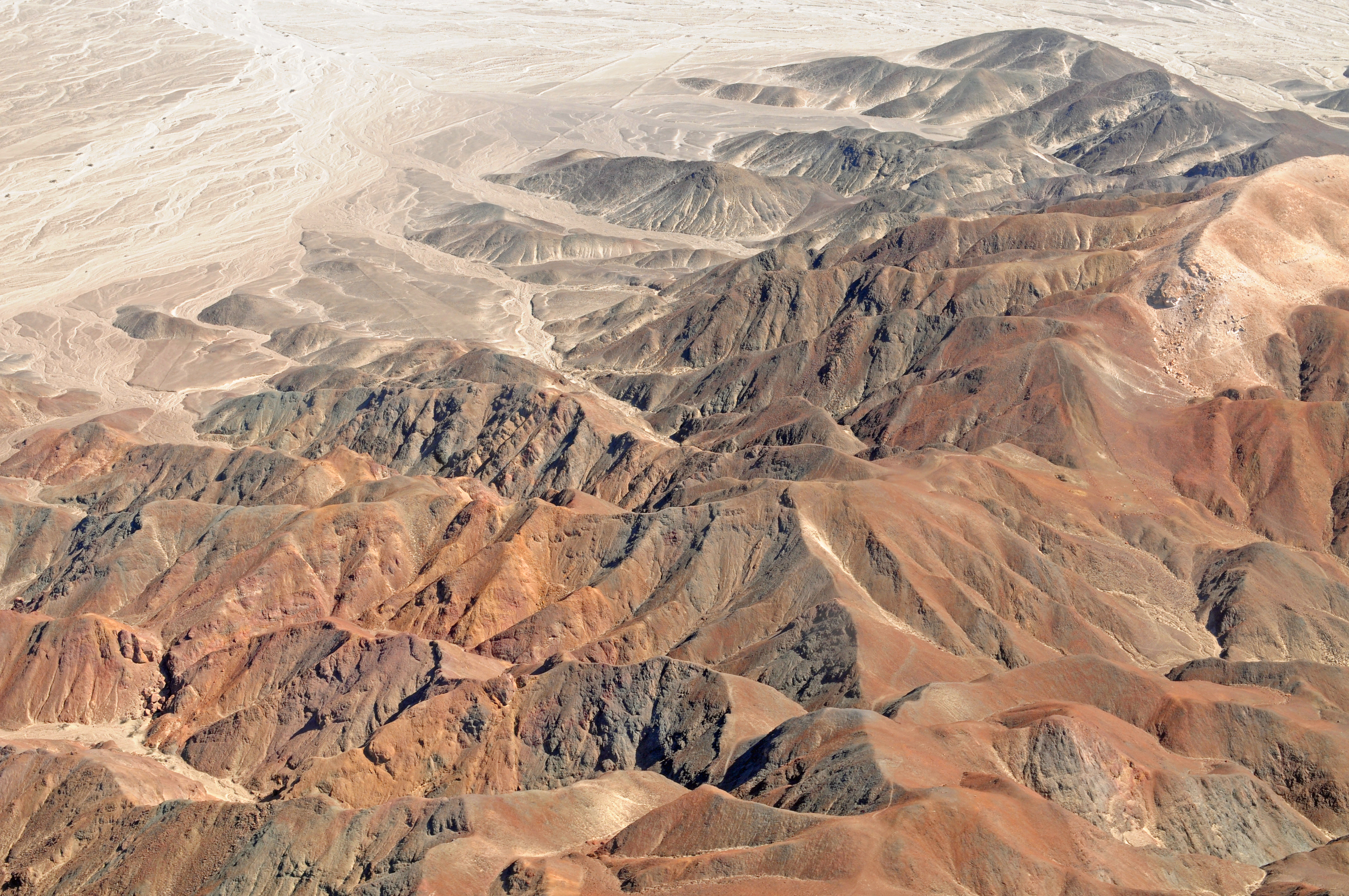
- The Nasca region is located in the Peruvian Desert
- The Nasca culture (AD 1 – 750) was a period which has been divided into an early period (AD 1 – 400), a transactional period (AD 400 – 500), and a late period (AD 500 – 750). Nasca culture was located in the southern coast area of Peru in the desert day pampa in the Andean foothills.
- Rio Grande de Nasca drainage area consists of several tributary rivers.
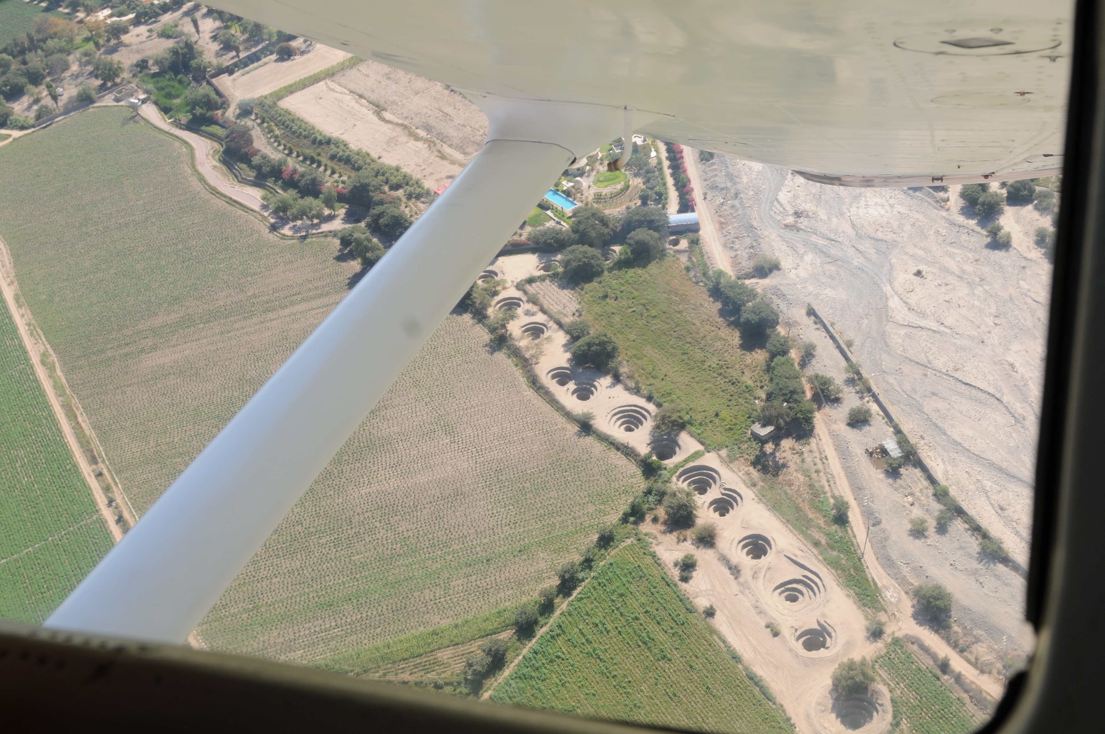
- Found in Nasca region of the Peruvian Desert are ancient water systems called puquios that have similarities to qanats, karez, etc.
- In Quecha, puquio denotes “source of water”, but also refers to natural springs or man-made water sources, i.e. sunken fields, irrigation canals, and irrigation galleries
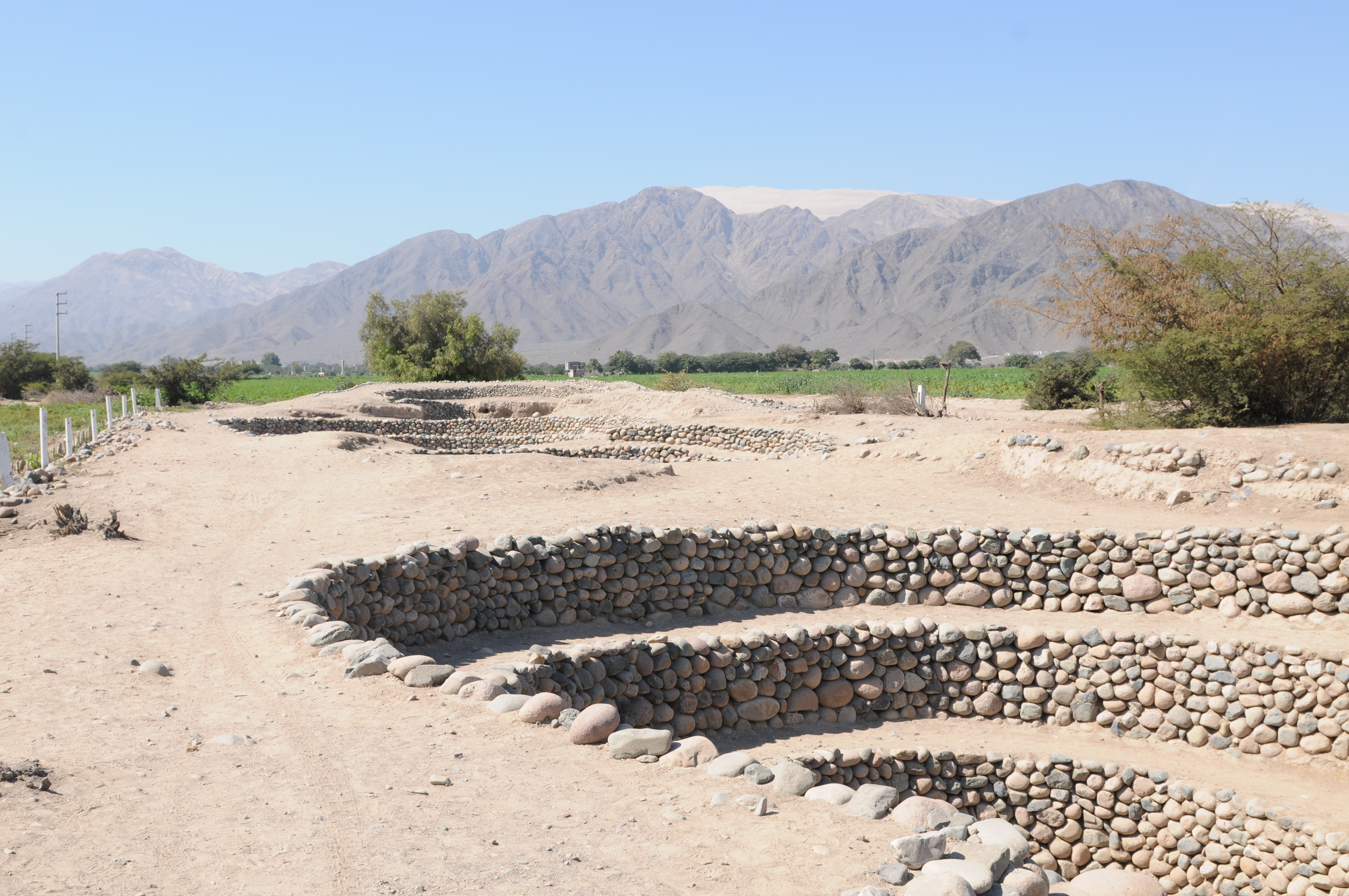
- Puquios are either (a) open trenches, (b) open trench with a filled trench gallery, or (c) a puquio with a tunneled extension as defined by Schreiber and Rojas (2003). Some also have branches called cangregeras.
- The vertical holes along the puquio are referred to as
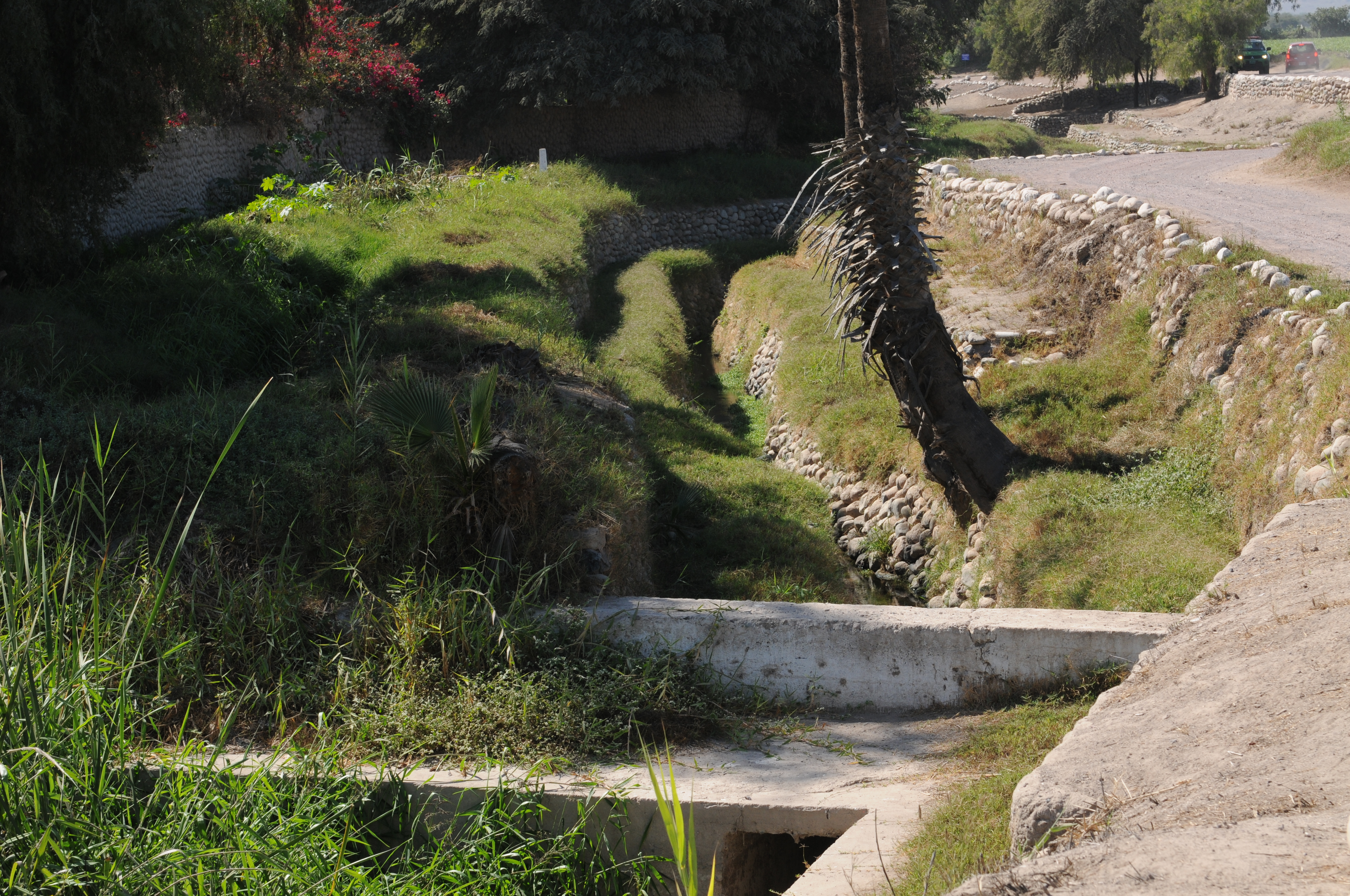
- Puquios flow into small reservoirs called kochas at their lower end from where water is directed to the irrigation canals called acequias.
- Date of initial construction roughly AD 400-500, according to: Schreiber and Rojas (2003), Irrigation and Society in the Peruvian Desert: The Puquios of Nasca, Lexington Books, NY
- According to Schreiber and Rojas (2003) there is no evidence that the spiraling walkway was ever characteristic of the ojos, that these were an innovation created in 1986.
- There are 29 puquios that are used to irrigate land in the Nasca Valley between elevations of 450 to 675 meters according to Schreiber and Rojas (2003).
Nasca region
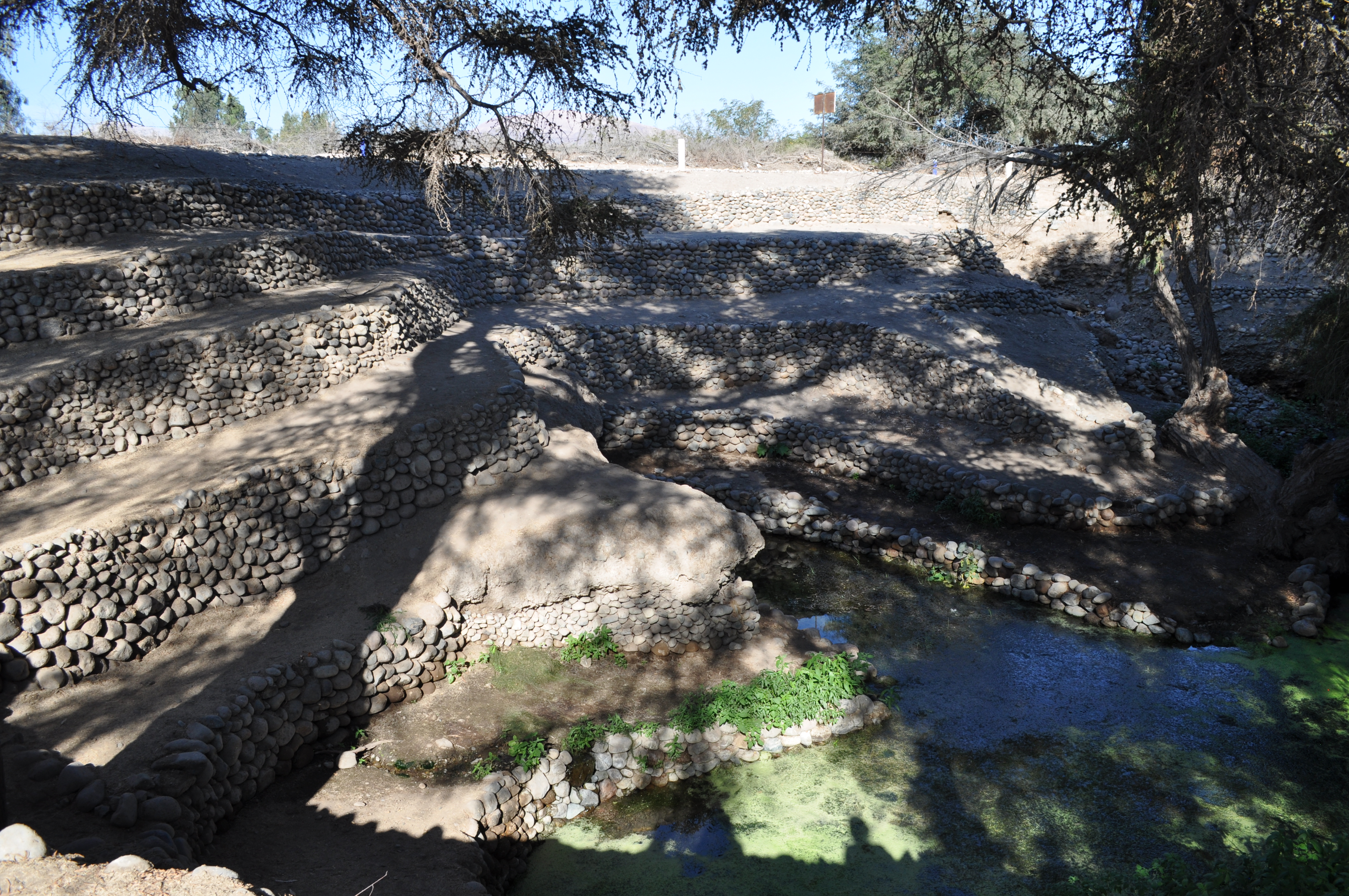
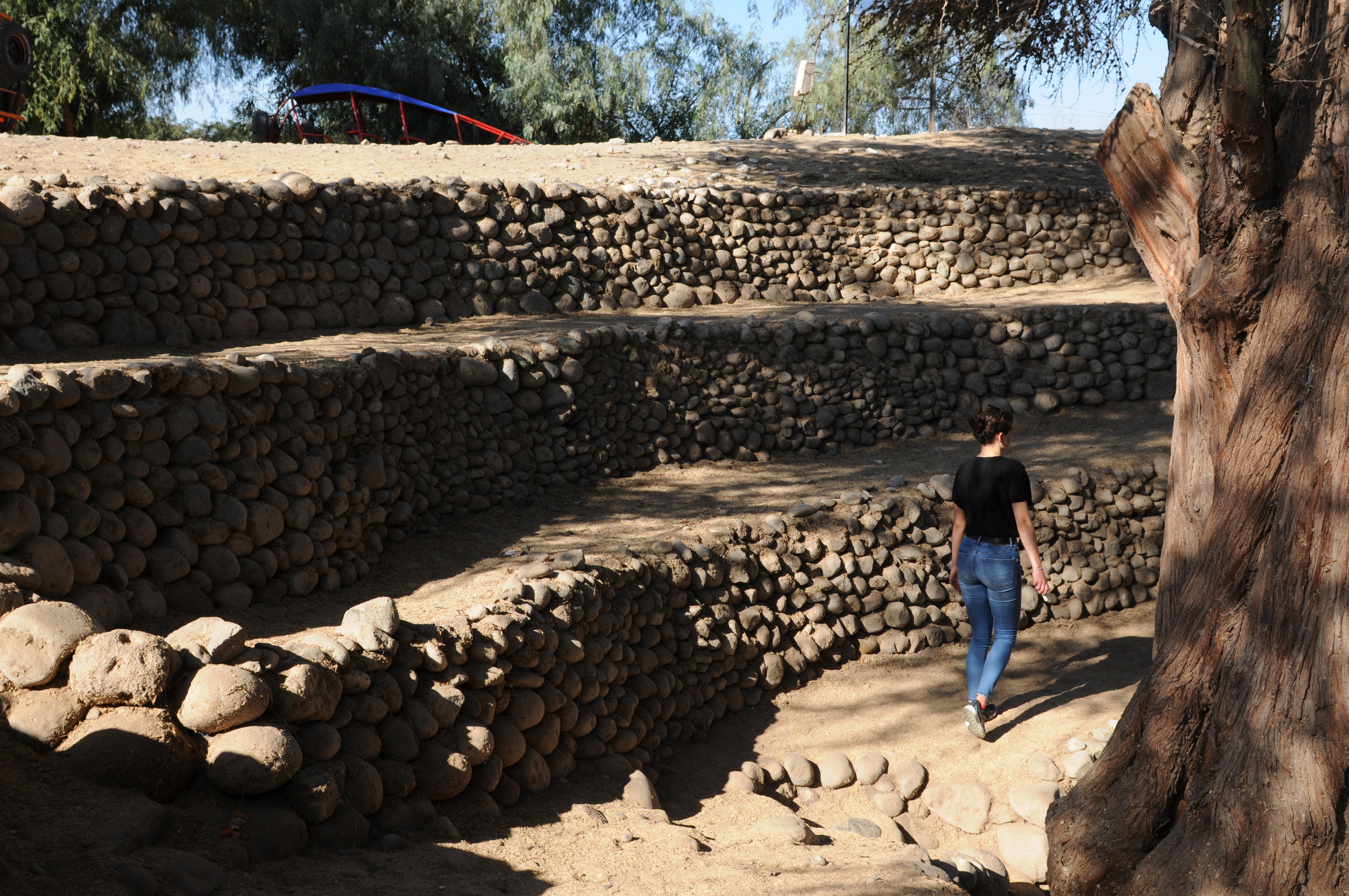
Cantalloq puquio
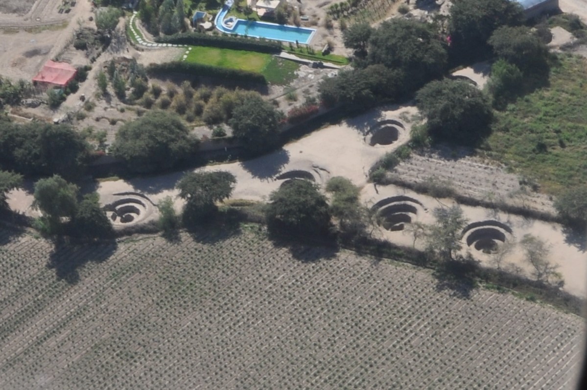

Ojos – According to Schreiber and Rojas (2003) there is no evidence that the spiraling walkway was ever characteristic of the ojos, that these were an innovation created in 1986.
Showing in the background at the top of the mountains is Cerro Blanco, the highest sand dune in the world (2,078 m)
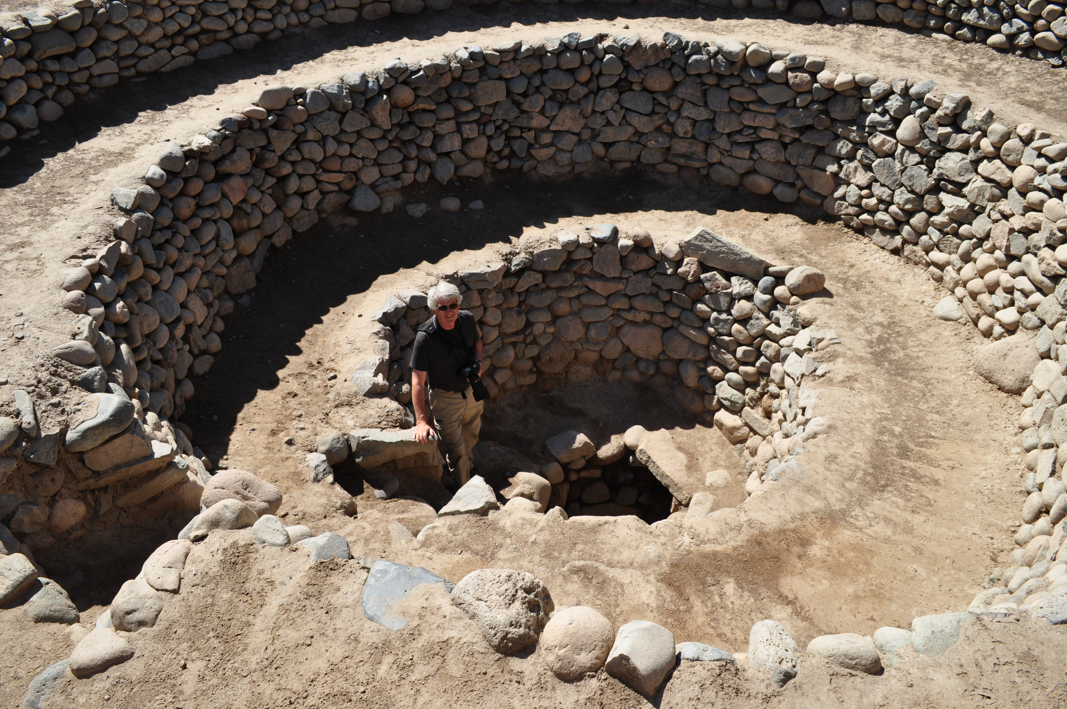
I am standing in the spiral walkway with the opening to the ojo.
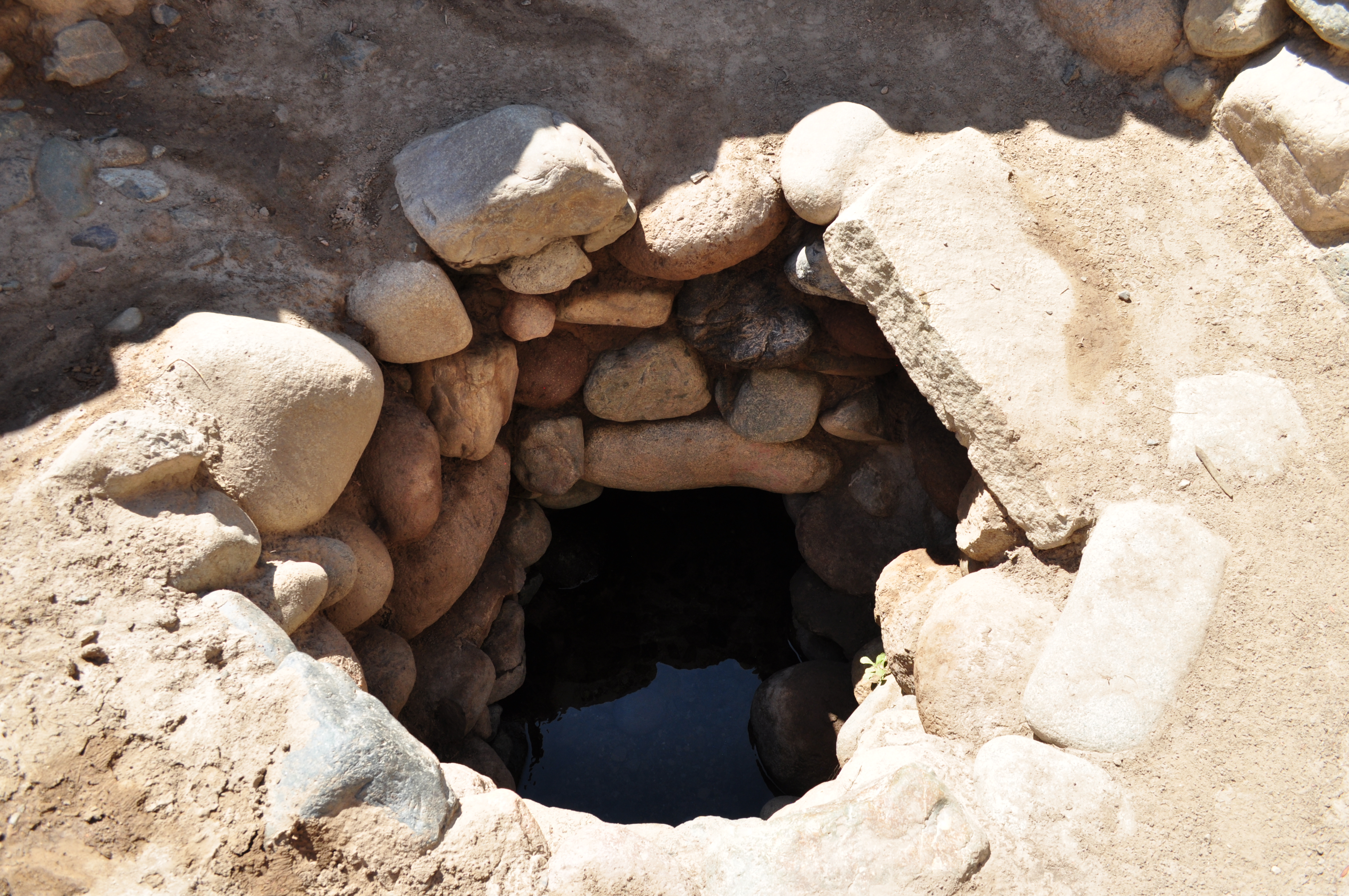
Showing water in the bottom of the ojo.
Location of opening from gallery into the open trench of the puquio.

Location of opening from gallery into the open trench of the puquio.
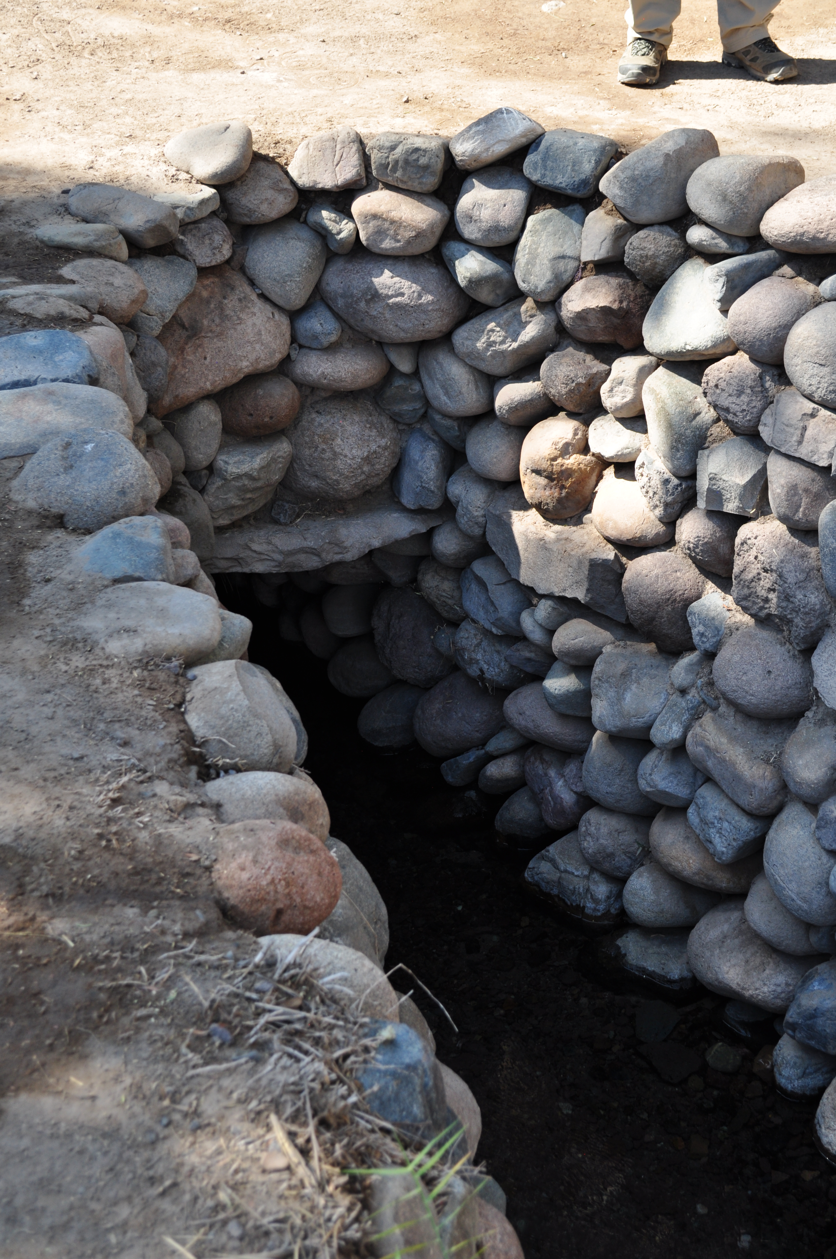
Opening from gallery into the open trench of the puquio.
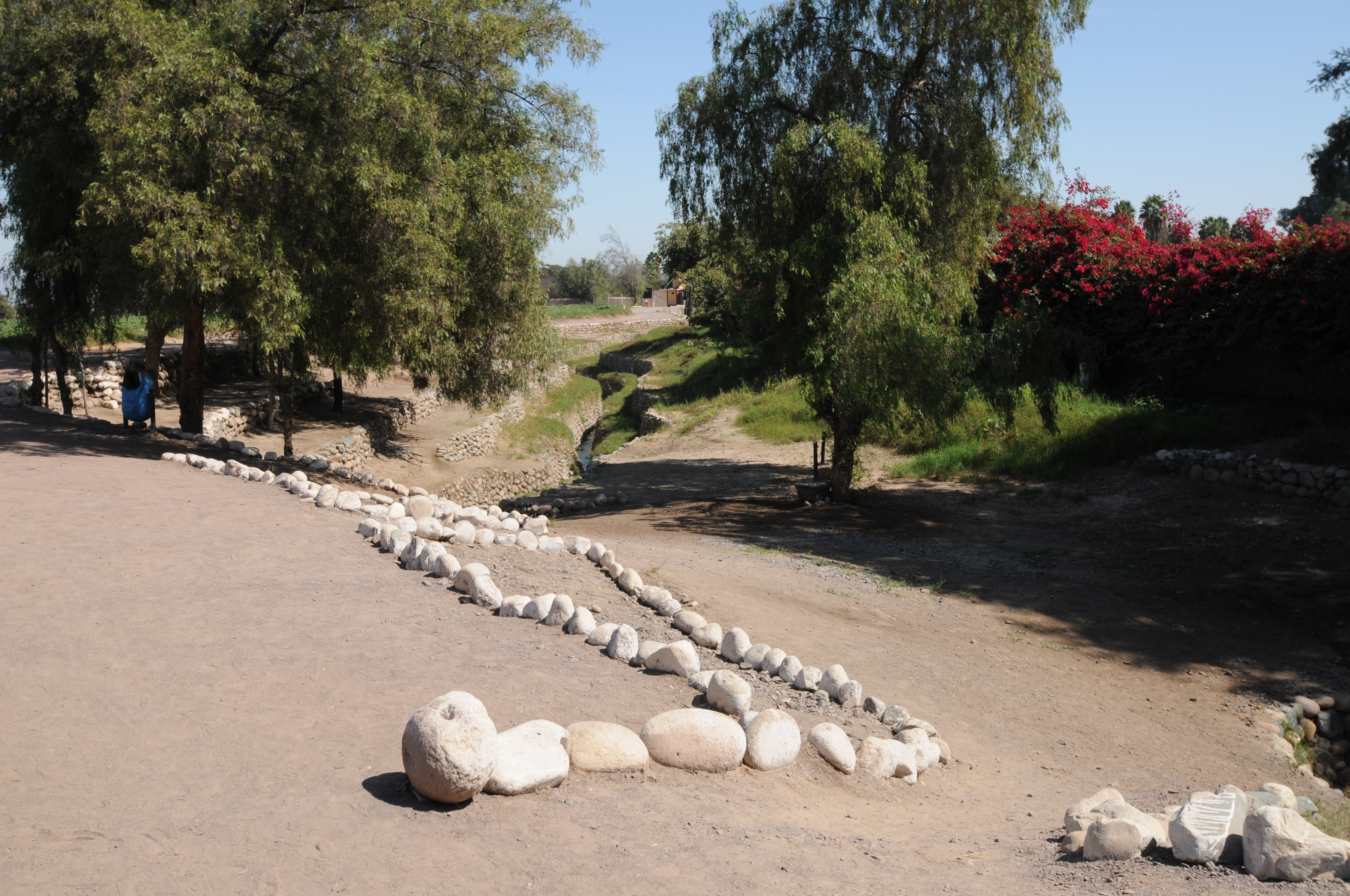
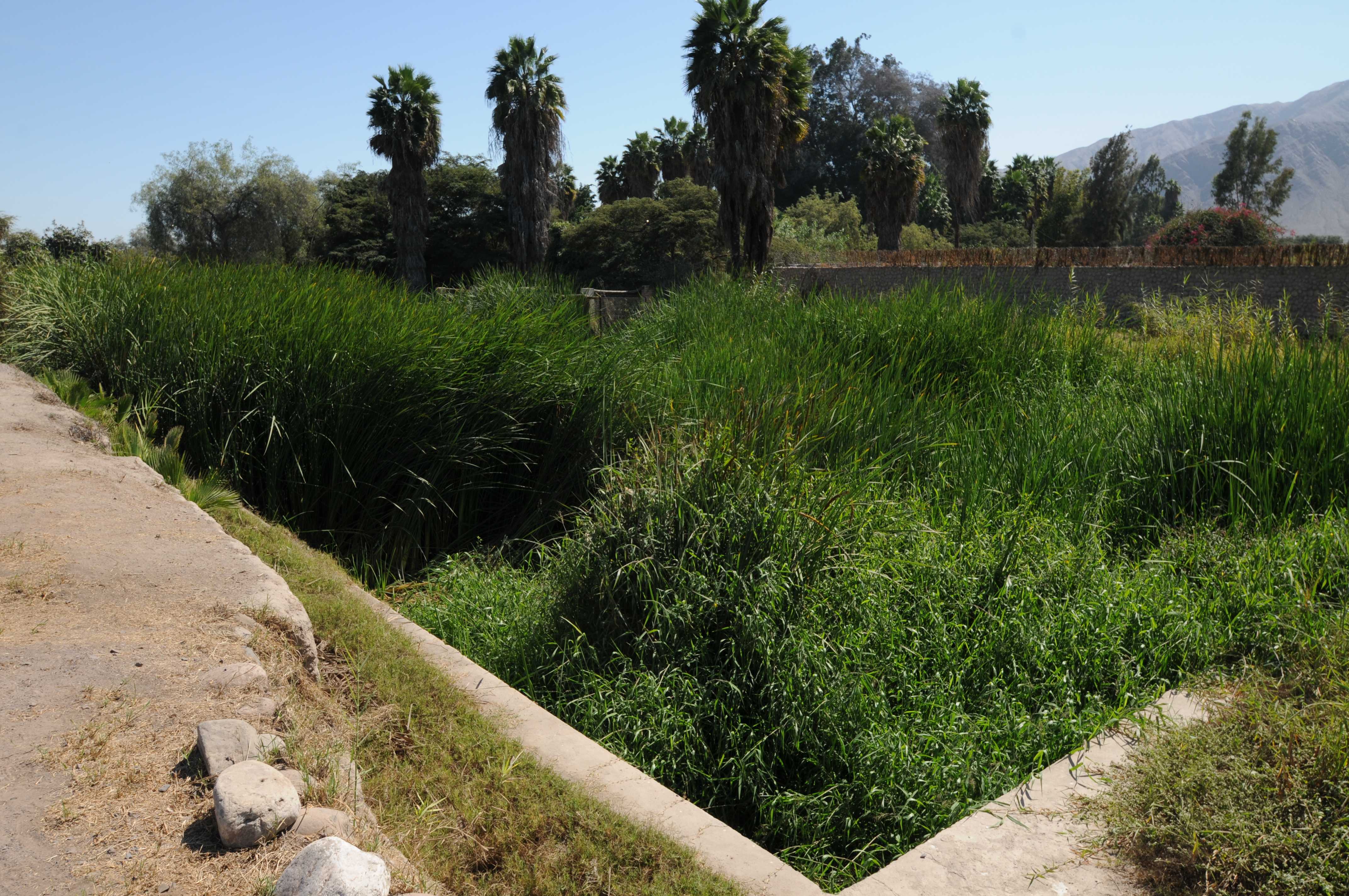
Location of open trench of the puquio.

Open trench of the puquio looking downstream of opening from gallery.
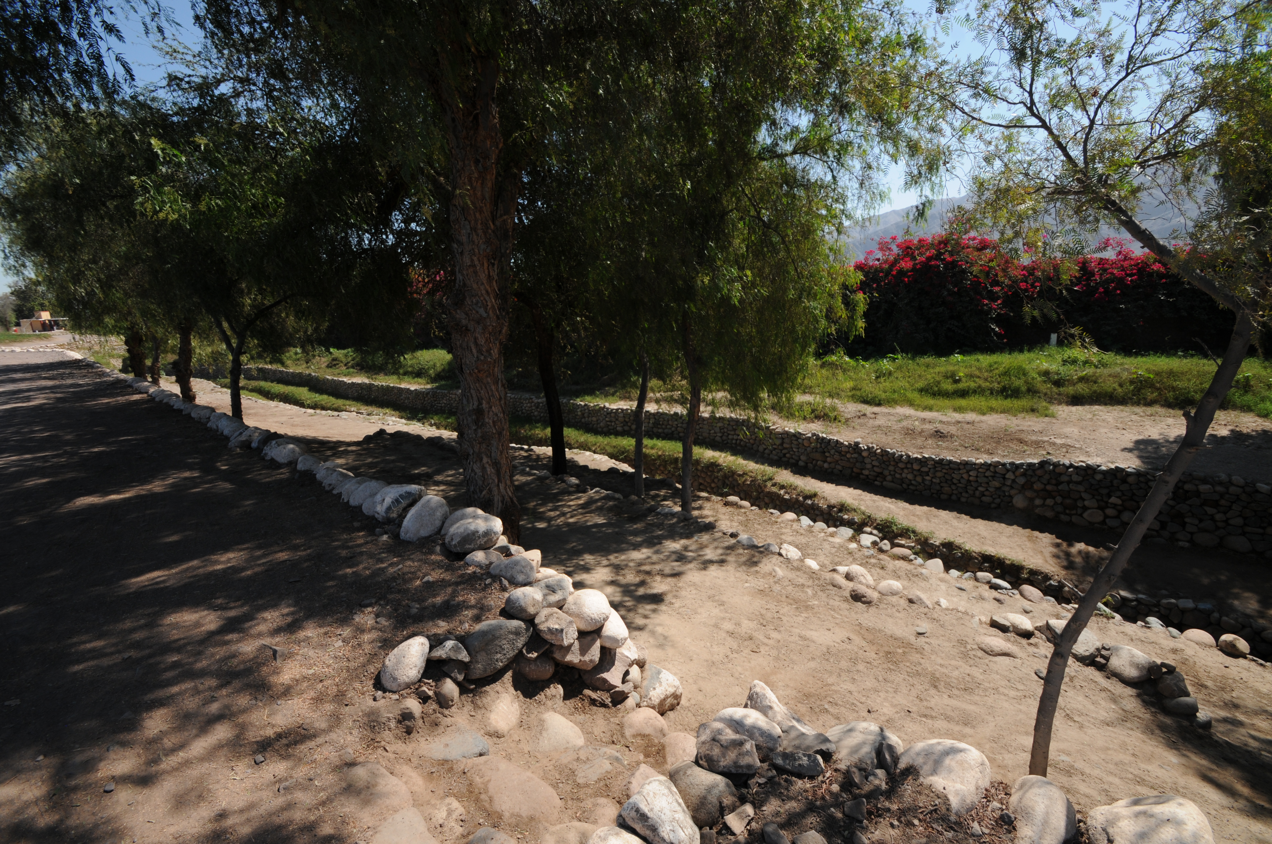
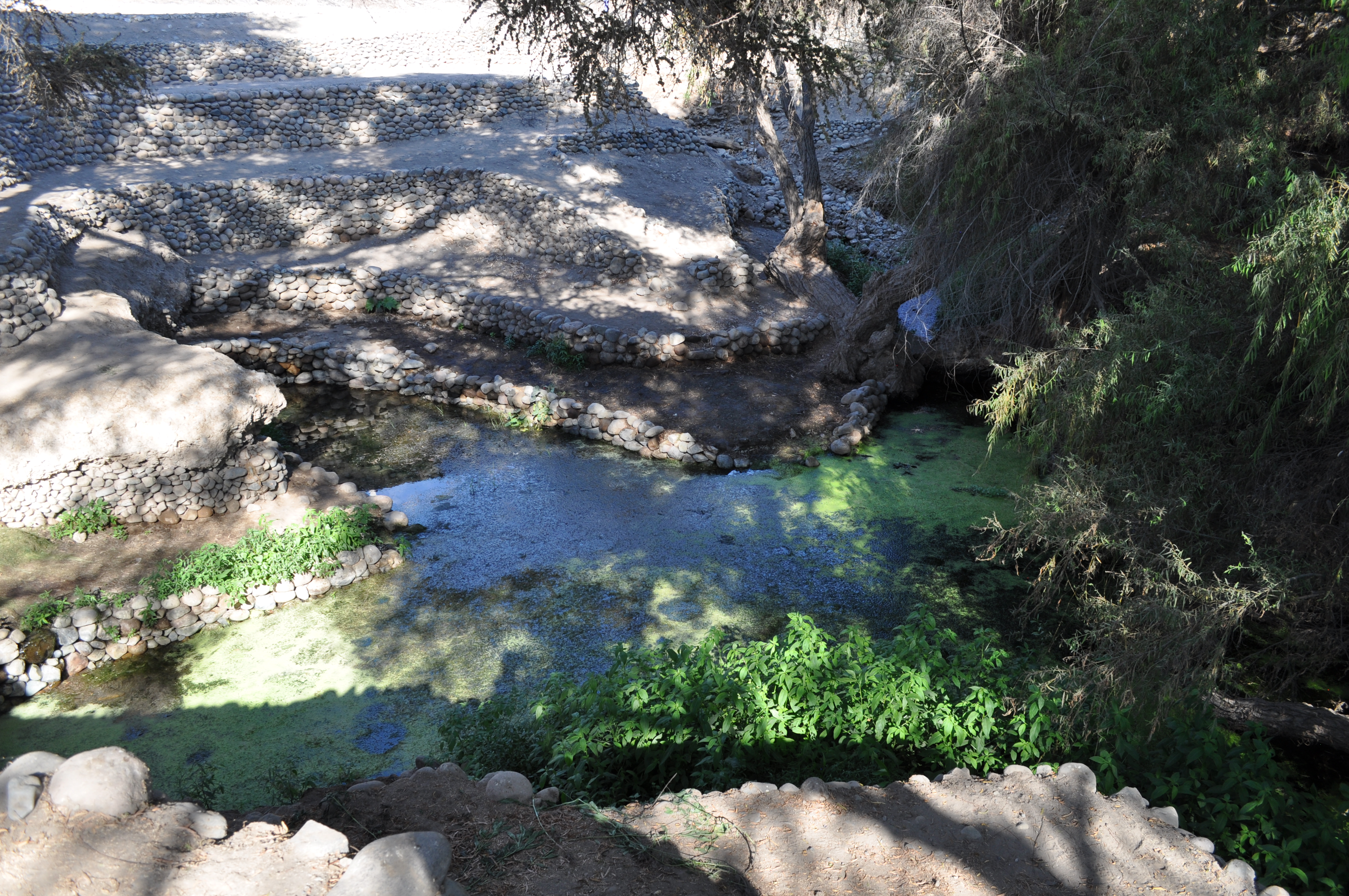
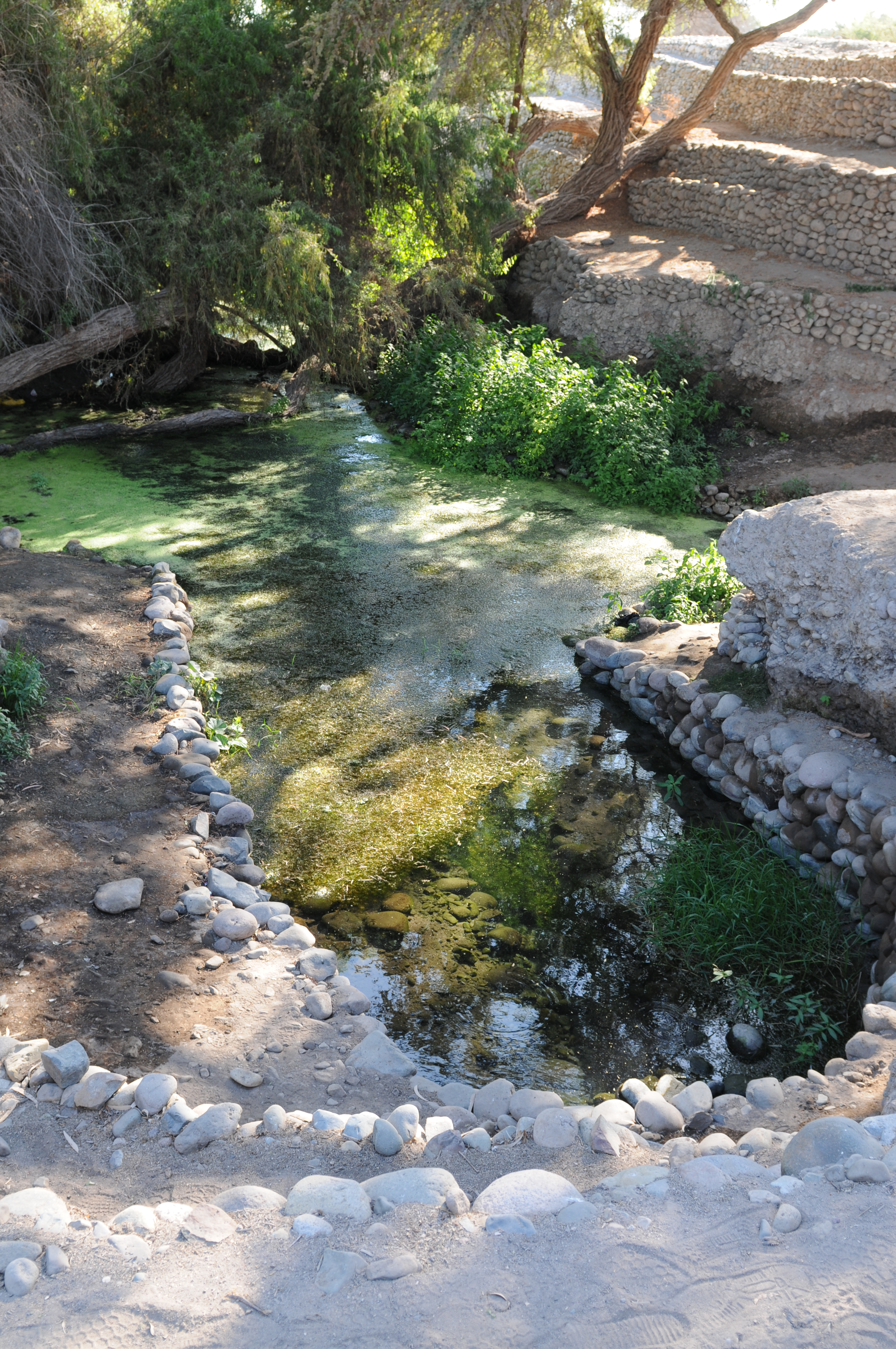
Looking upstream from kocha, showing open trench followed by the kocha.
Present-day kocha
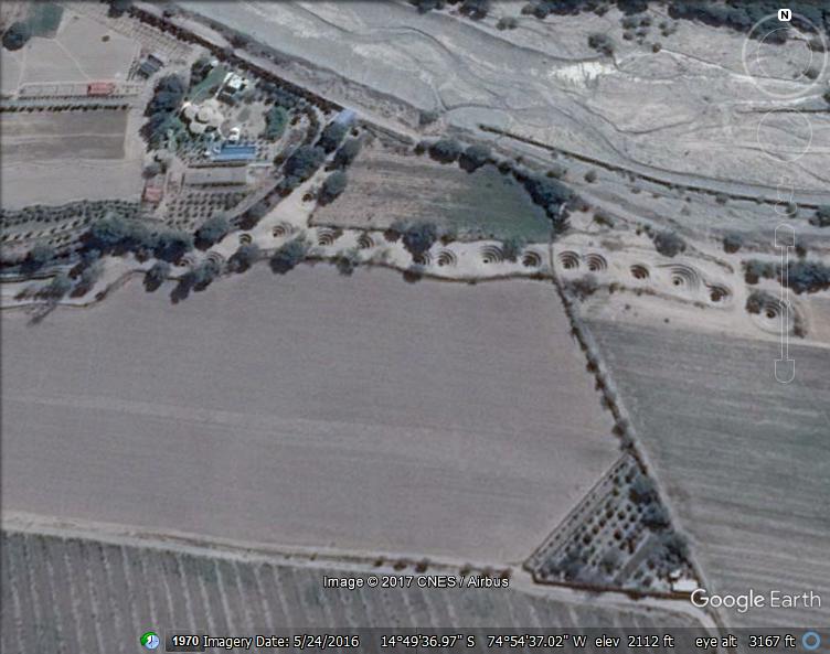
Ocongalla puquio
Ocongalla puquio is an open-trench type of puquio approximately 600 m long emptying into a small kocha. The pictures below are taken at the upper end of the trench where the pond is created that flows into the open-trench. Water flows into the pond through three openings (locations from the ground) into the small pond. Shown below is one of these three locations and the pond.


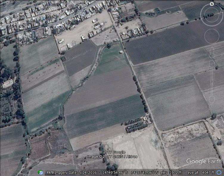
Notice the location just south of the Nasca River approximately six km east of the town of Nasca.

La Gobernadora puquio
Shows extent of the puquio. Upper part is the tunneled gallery.

Shows upper part with the tunneled gallery. The ojos don’t have the spiral walkway down the ojo.

Shows lower end of puquio which is an pen trench ending at the small kocha.
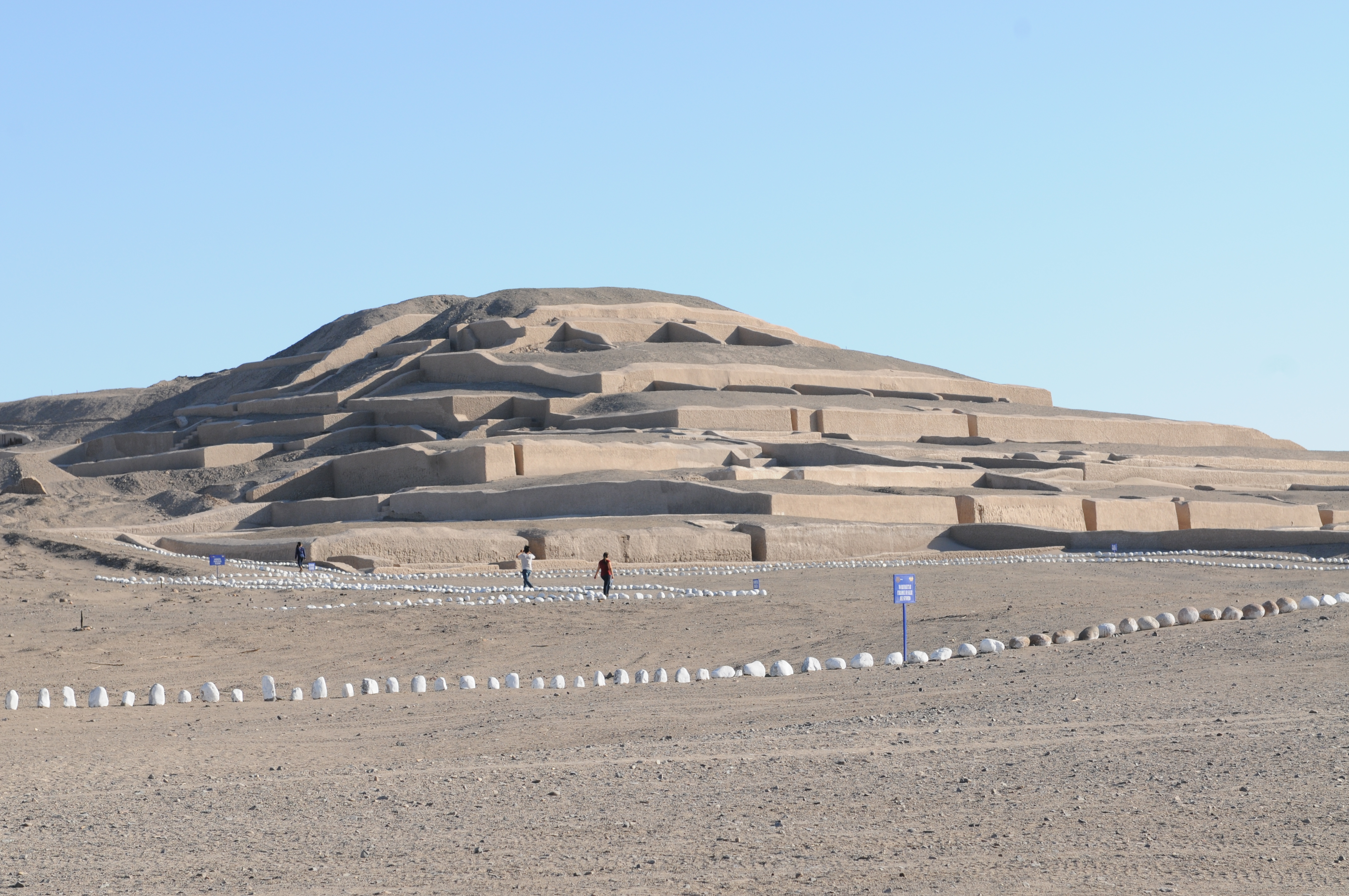
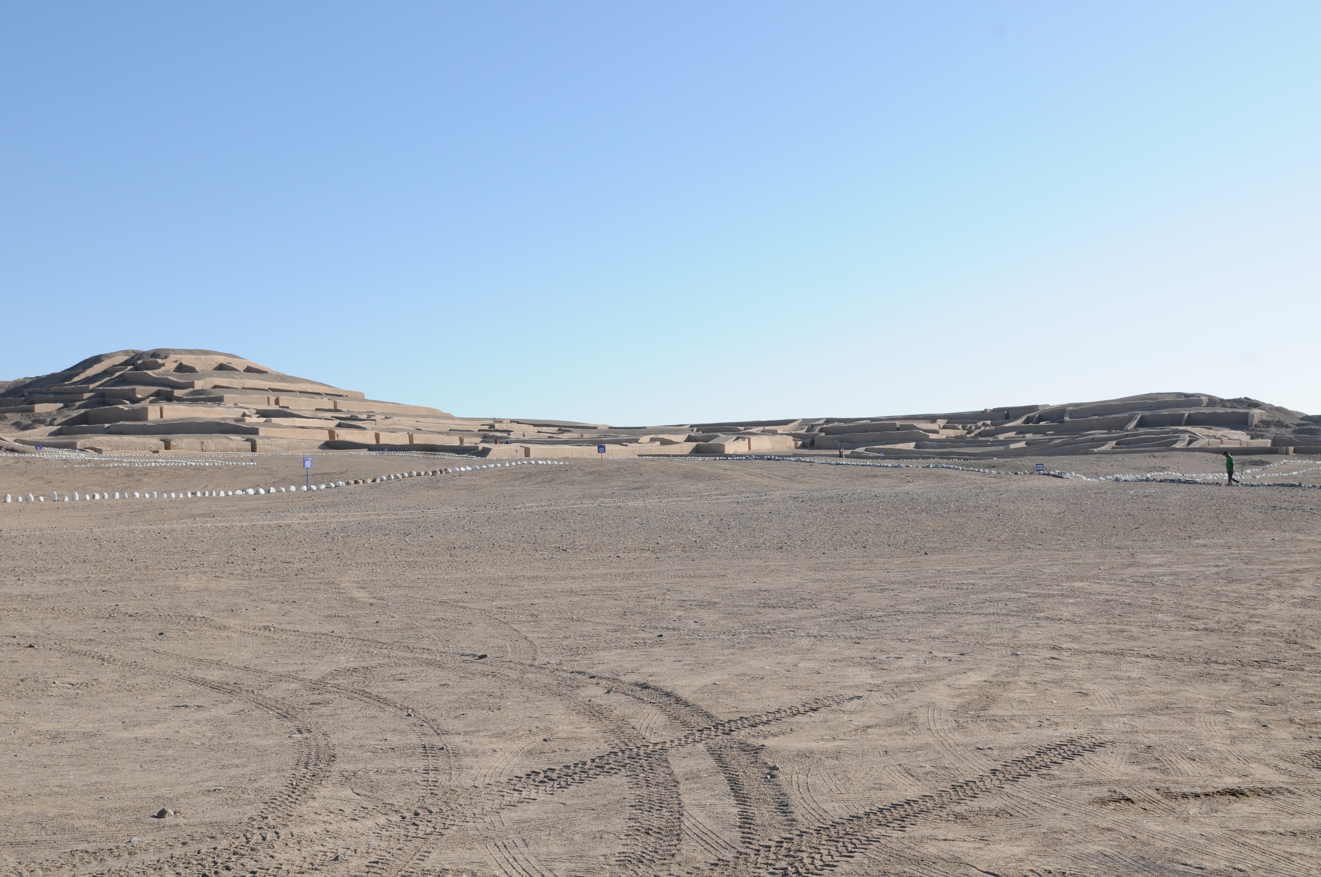
Cahuachi
Cahuachi was the ceremonial center of the Nasca culture, consisting of several platform mounds and pyramids, and was located near the present-day town of Nasca.
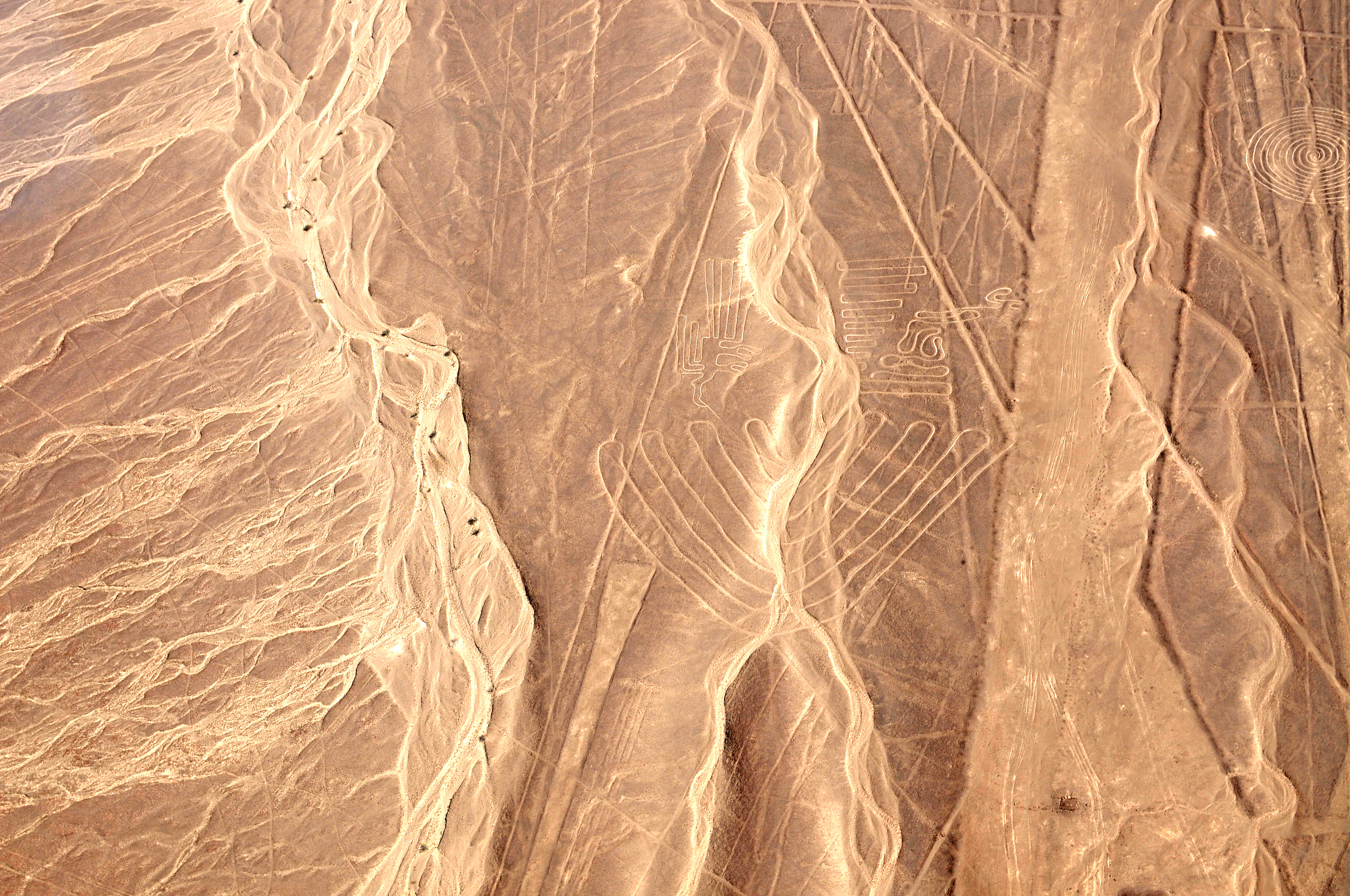
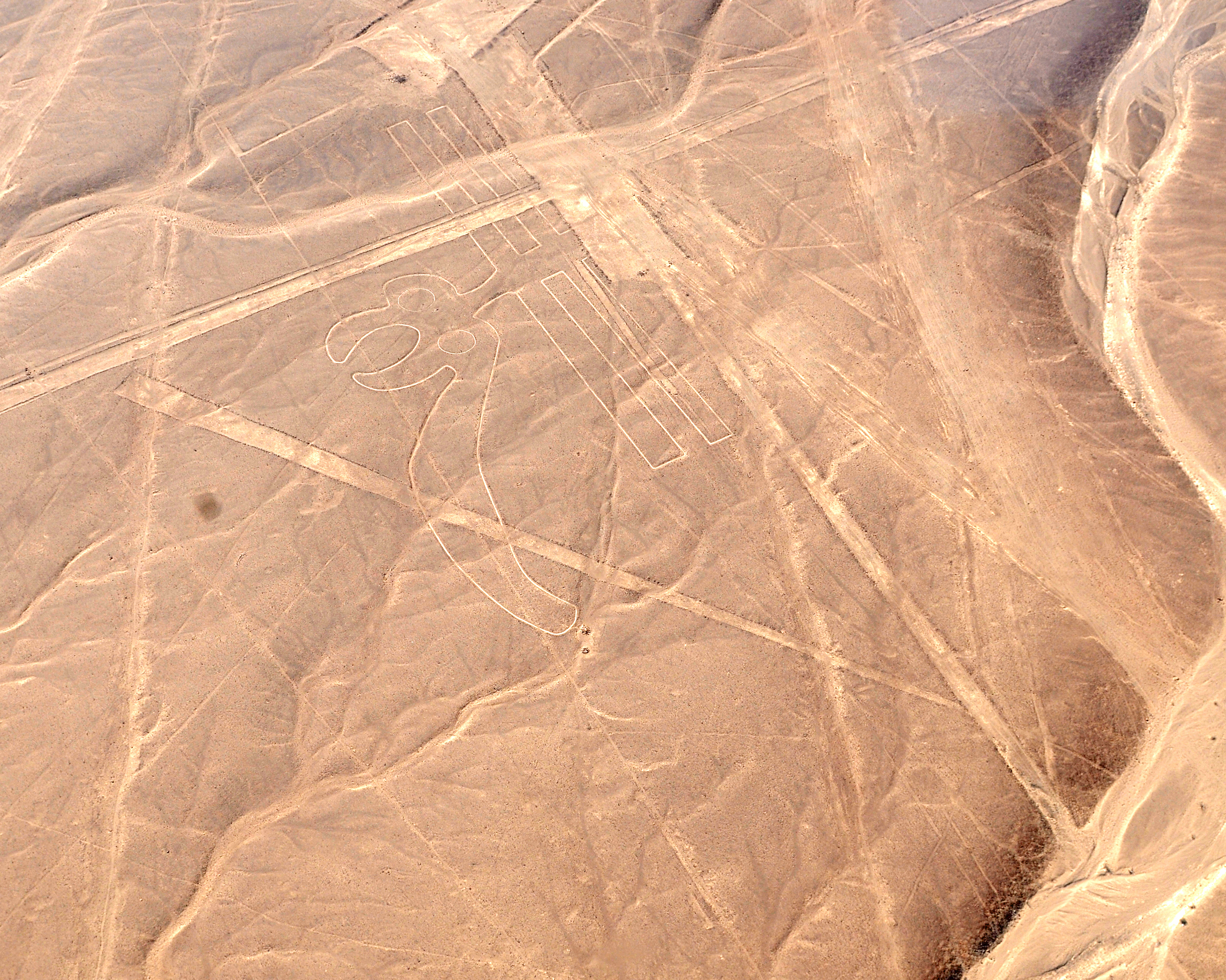
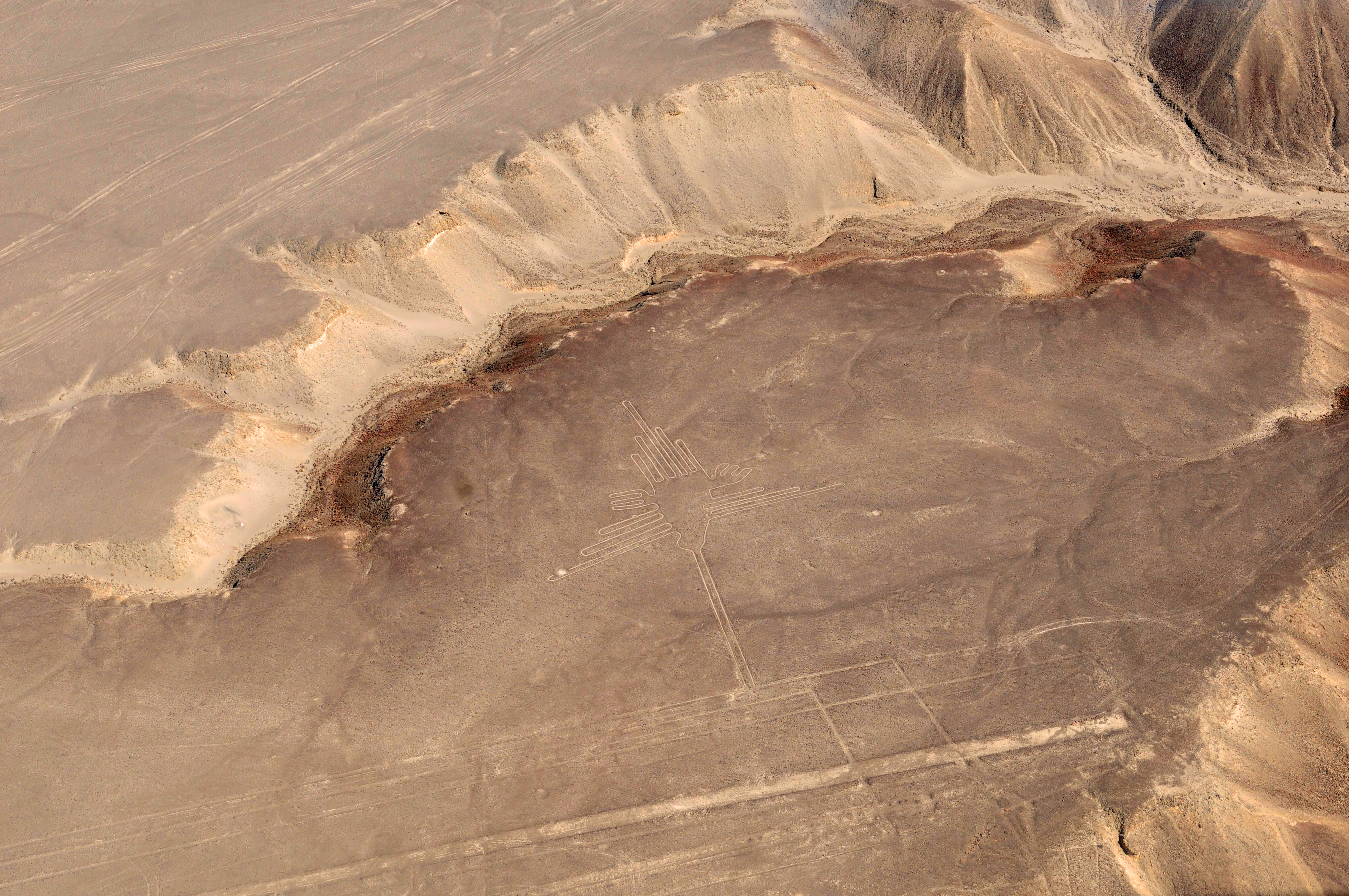
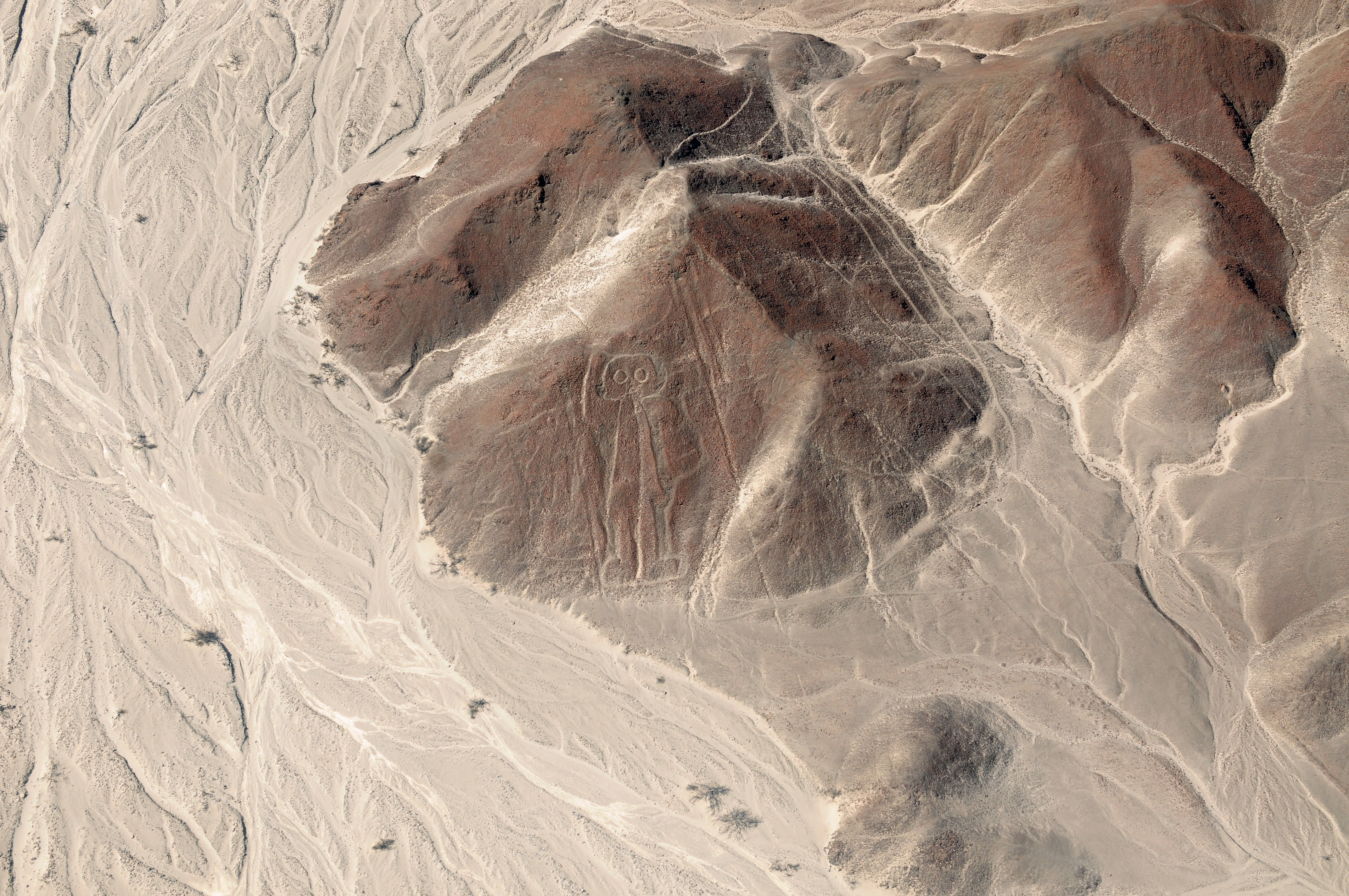
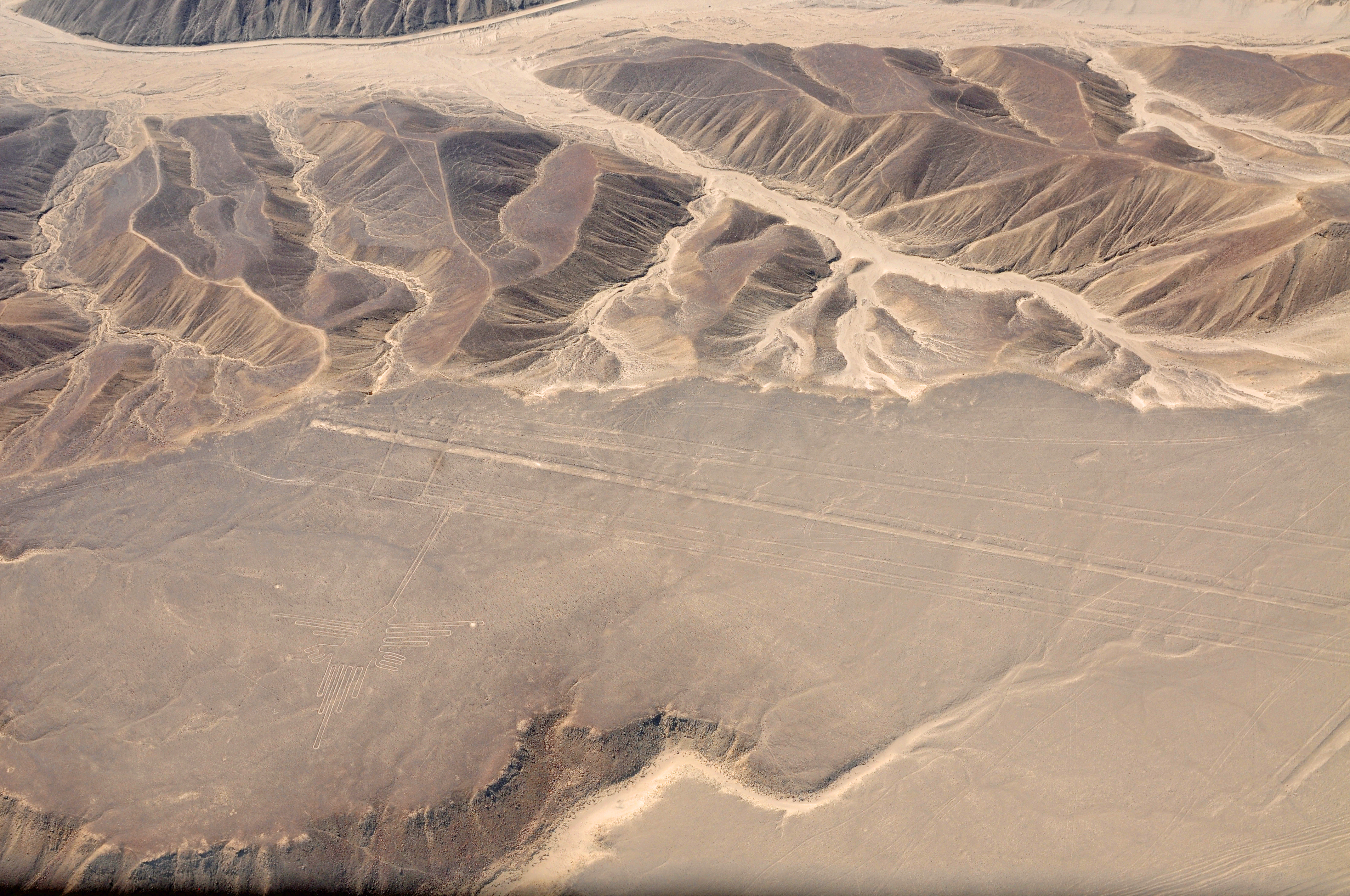
Nasca Lines
In the desert pampa in the Andean foothills the people etched the geoglyphs, now referred to as the Nasca Lines.
The following are photos that I took in June 2017.