The Ancient City of Laodikeia or Laodicea or Laodikya is located approximately 6 km north of Denizli near Pamukkale and Merkezefendi. Laodikeia, located in the villages of Eskihisar, Goncali, and Bozburun, is surrounded by the Asopos, Kadmos, and Lykos Rivers on three sides. Laodikeia dates back to around 5500 B.C. The
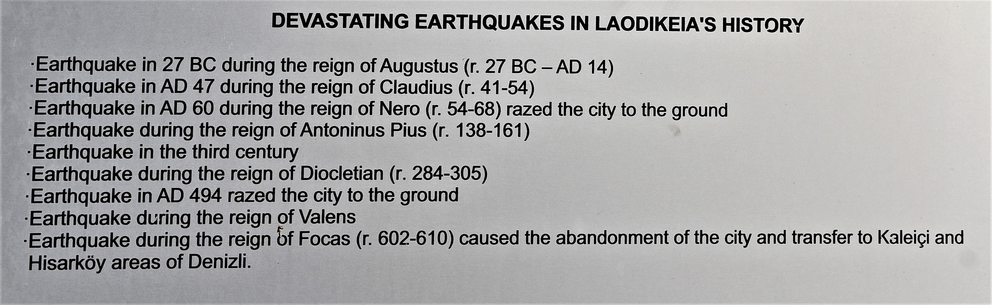
Nine major earthquakes devastated Laodikeia during it’s history in 27 BC, 47 AD, 60 AD, during the reign of Antoninus Pius (138 – 161 AD), third century AD, during the reign of Diocletian (284 – 305 AD), 494 AD, during the reign of Valens. The high times of Laodikeia was during the Roman Imperial Period and Late Antiquity when Christianty spread during the 4th to 6th centuries AD.
Extensive water systems were engineered and built during life of Laodikeia including castellum aquae (water distribution terminals), a siphon, baths, fountains, nymphaeum, latrines, street drain systems, pipe systems, and a baptismal.
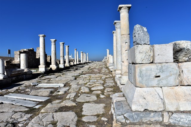

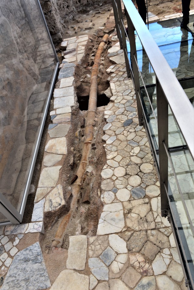
Colonnaded Syria street from Syria Gate westward to city center.


Location of drainage in middle of Syria Street.

Siphon was located across the valley.

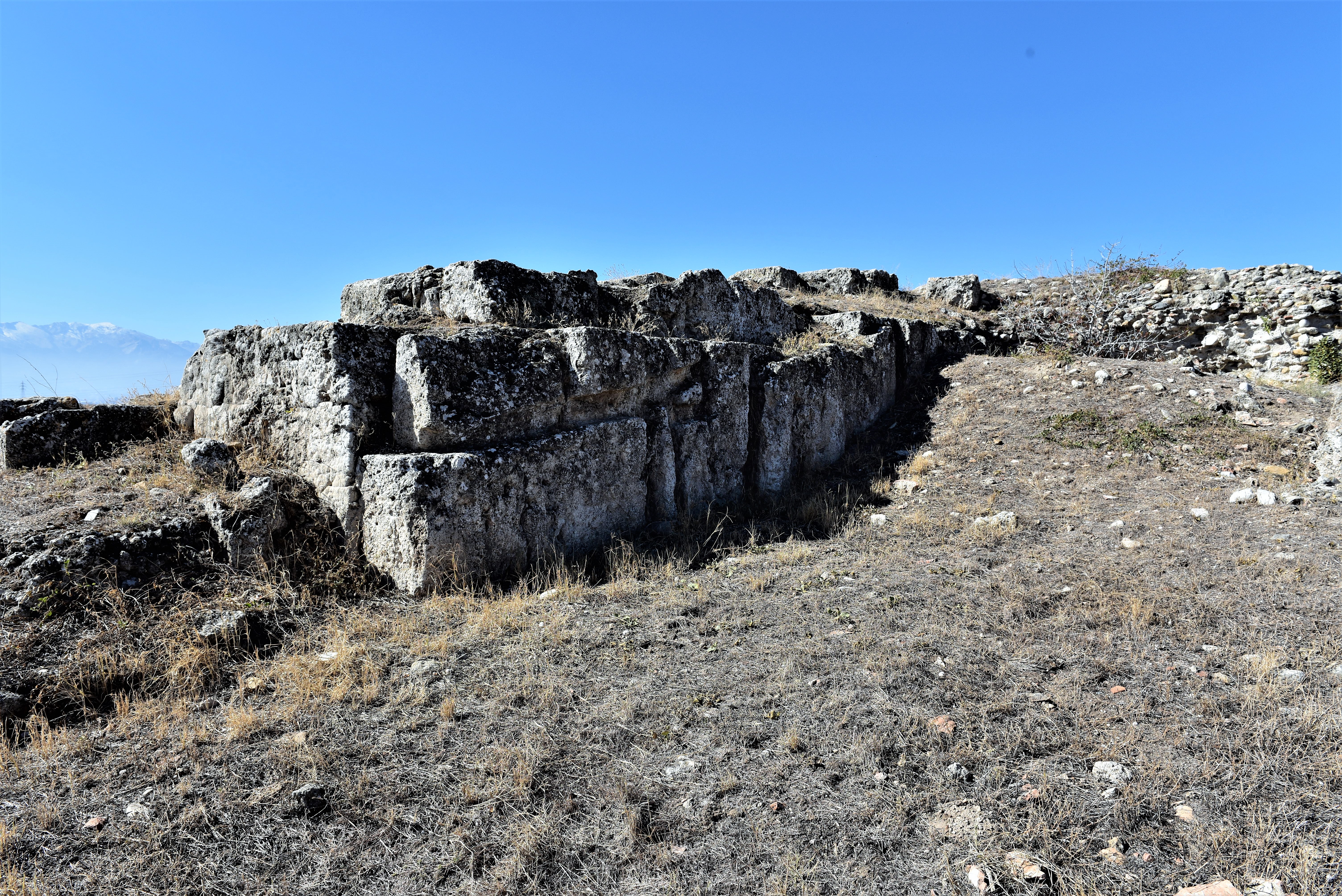
On the right is the water distribution terminal I (castellum aquae) at 278 m above sea level, east of the south bath complex and built with travertine blocks. Water was supplied to this location from the Baspinar spring via two travertine pipelines (siphons) on the west slopes of Eskihisar town.

Solid line is the approximate location of the siphon.

Castellum aquae I

Castellum aquae I
Castellum aquae I

Castellum aquae I
Water distribution terminal II (castellum aquae II) at elevation 291 m above sea level and 430 m north of the castellum aquae I. This terminal supplied a much larger area of the city than terminal I.

Castellum aquae II
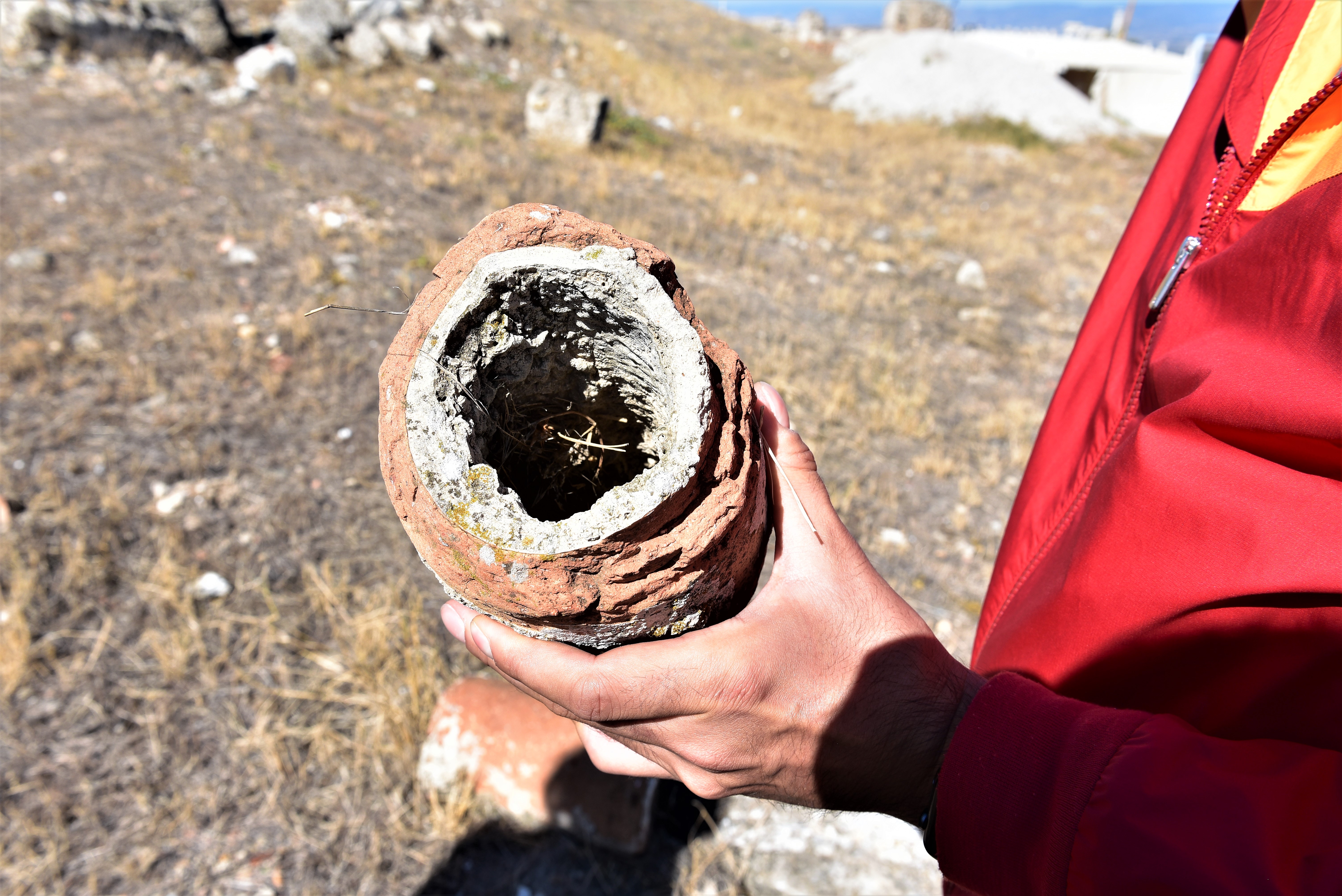
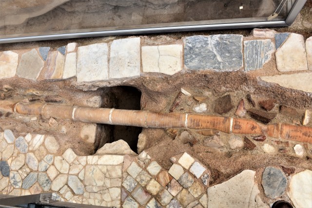
Terracotta (baked clay) pipe with deposits
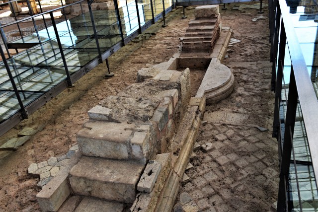
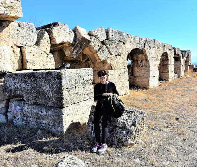 South baths – gymnasium complex
 South baths – gymnasium complex
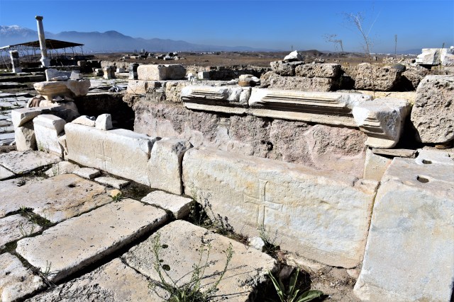
Church of Laodikeia
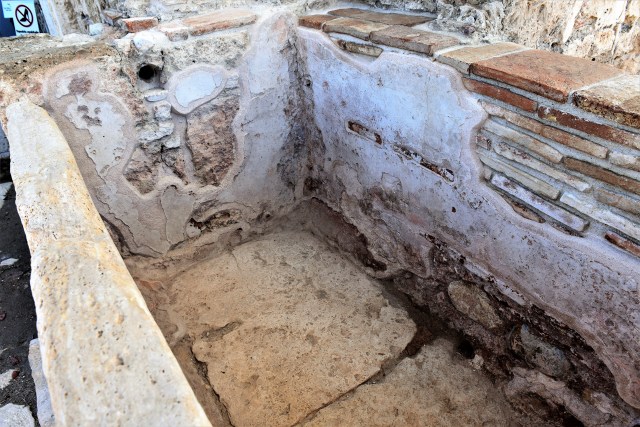


Baptistery and baptismal font

Terracotta (baked clay) pipe