The contemporary city of Varna originated as a settlement named as Odessos in the 5-th century B.C. by Greek settlers from Millet in Asia Minor. The Pontic settlement was founded around 570 B.C. In addition to the Greeks the inhabitants were Thraceans, Romans, settlers from Asia Minor and other ethnic origins. Ruins are located in the ancient part of Varna not far from the sea
Roman Thermae
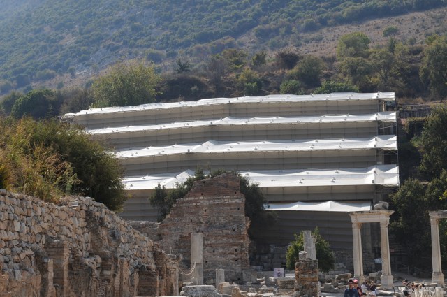
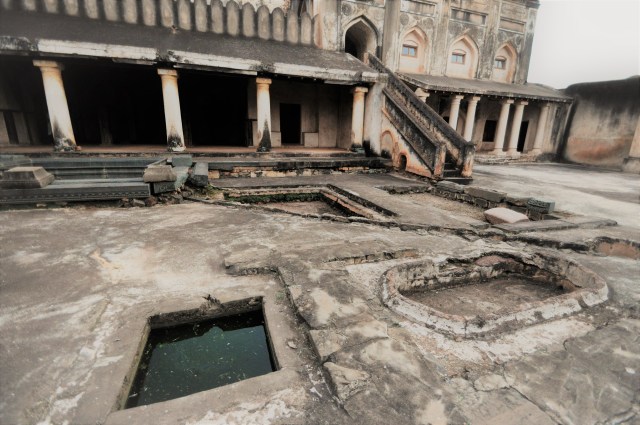
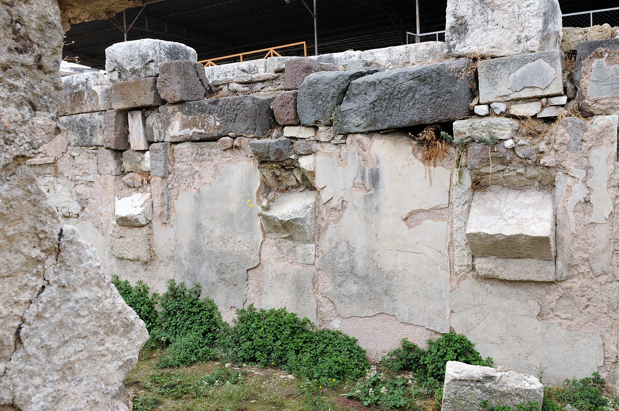
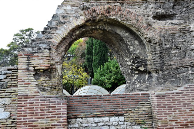
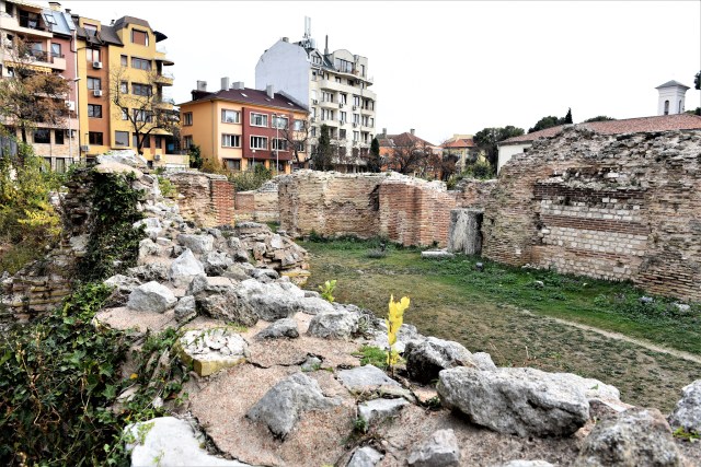
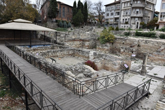
The Romans built the thermae (baths) that became significant and magnificent monuments of the ancient architecture during the end of the 2nd century AD. The baths occupied an area over 7,000 square meters. Surviving walls reach 22 meters in height at some locations.
")

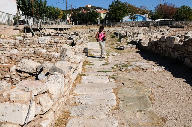
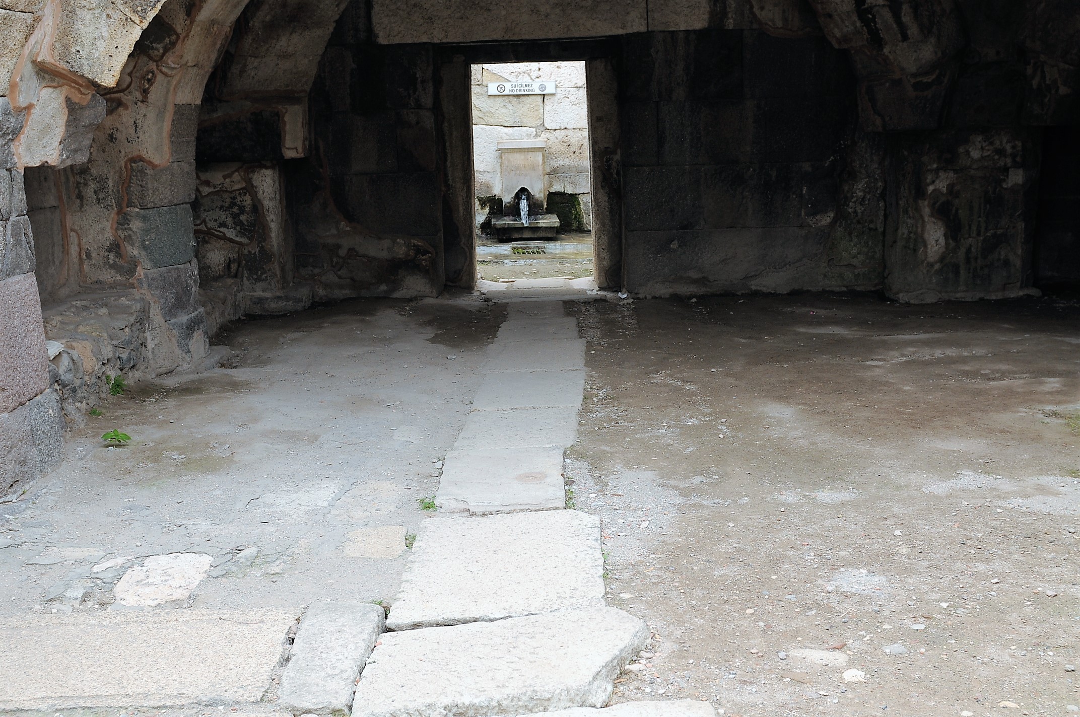
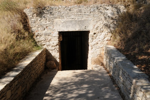
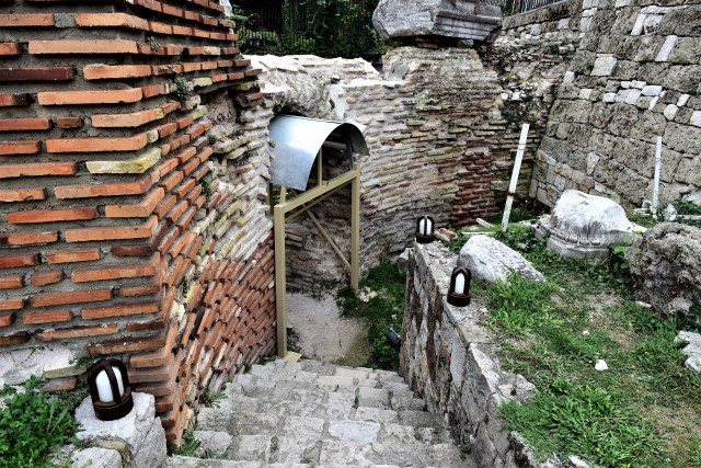
Photo taken at modern day entrance to site on west side of the thermae.

Photo taken at modern day entrance to site on west side of the thermae.

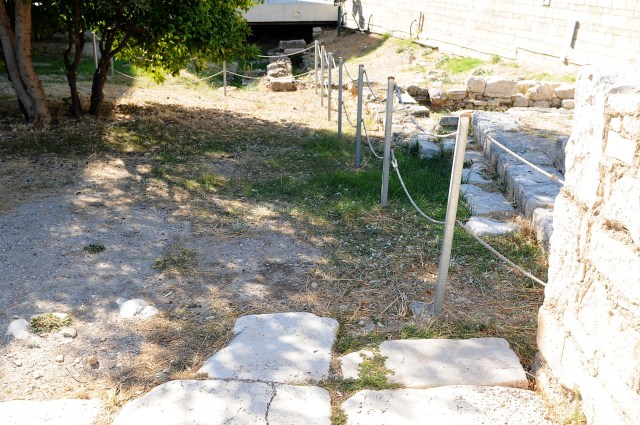
Underground gallery of shops on west side of thermae looking north
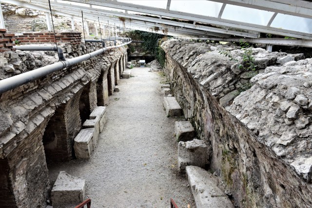
Underground gallery of shops on west side of thermae looking south


Area of shops
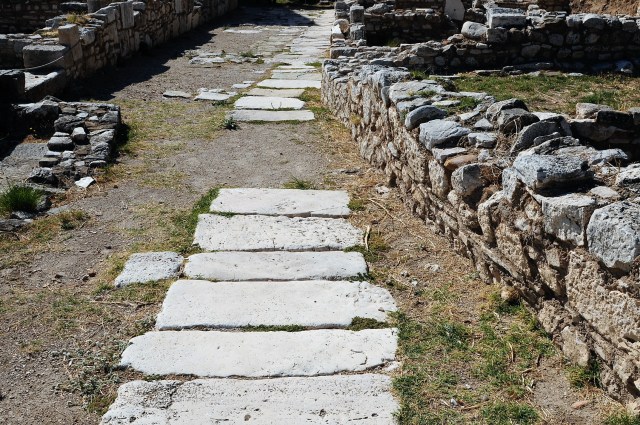
Looking to entrance

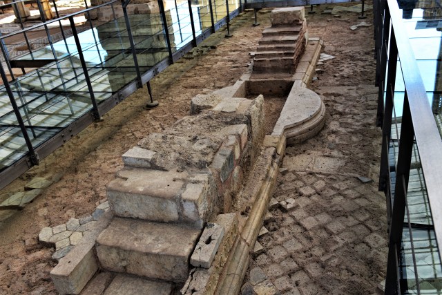
Western apodyterium (dressing room)


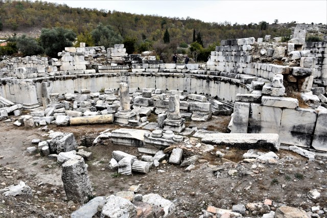
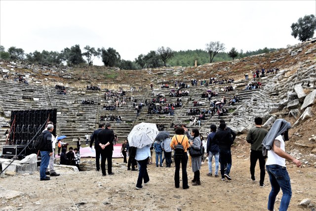
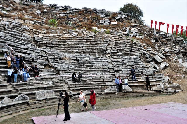
Basilica hall
Basilica hall – view from northwest

Basilica hall – view from northeast
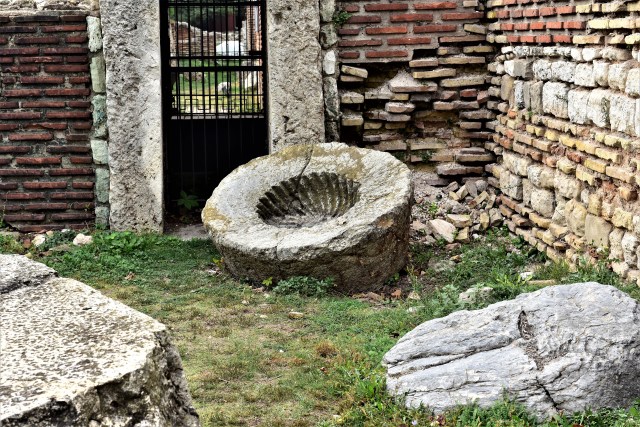
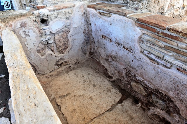
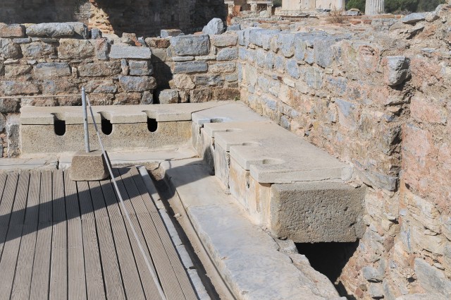
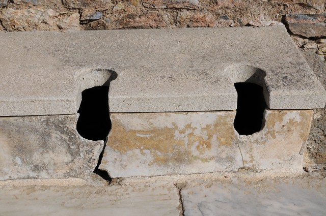
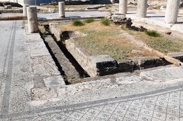
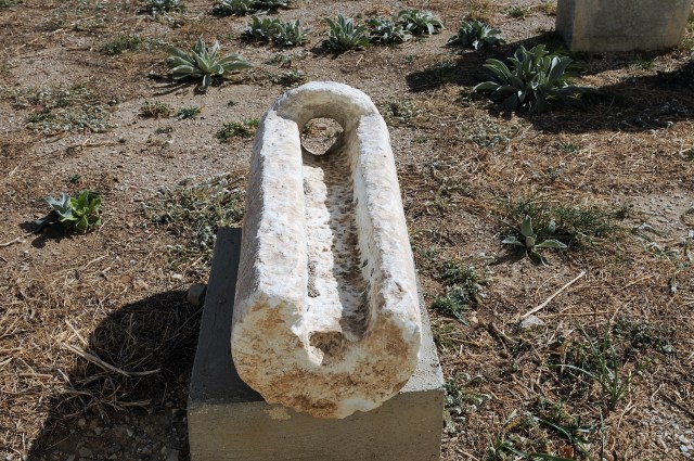
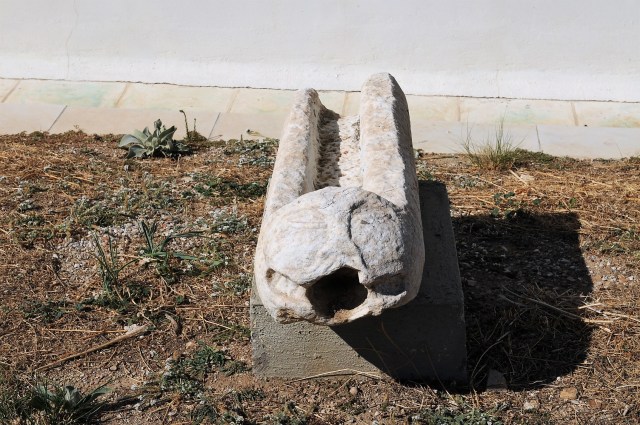
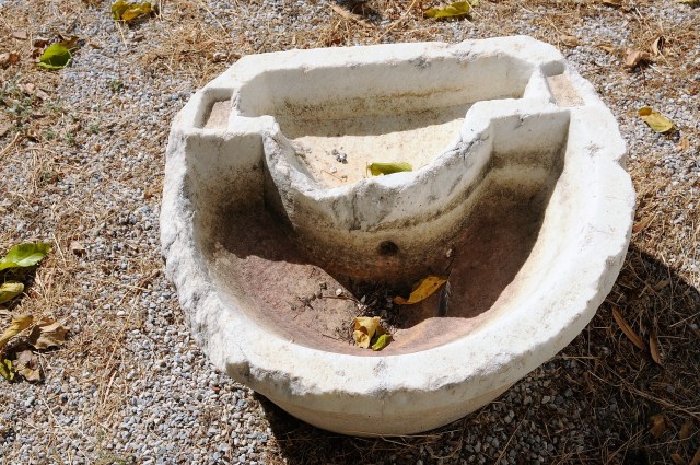
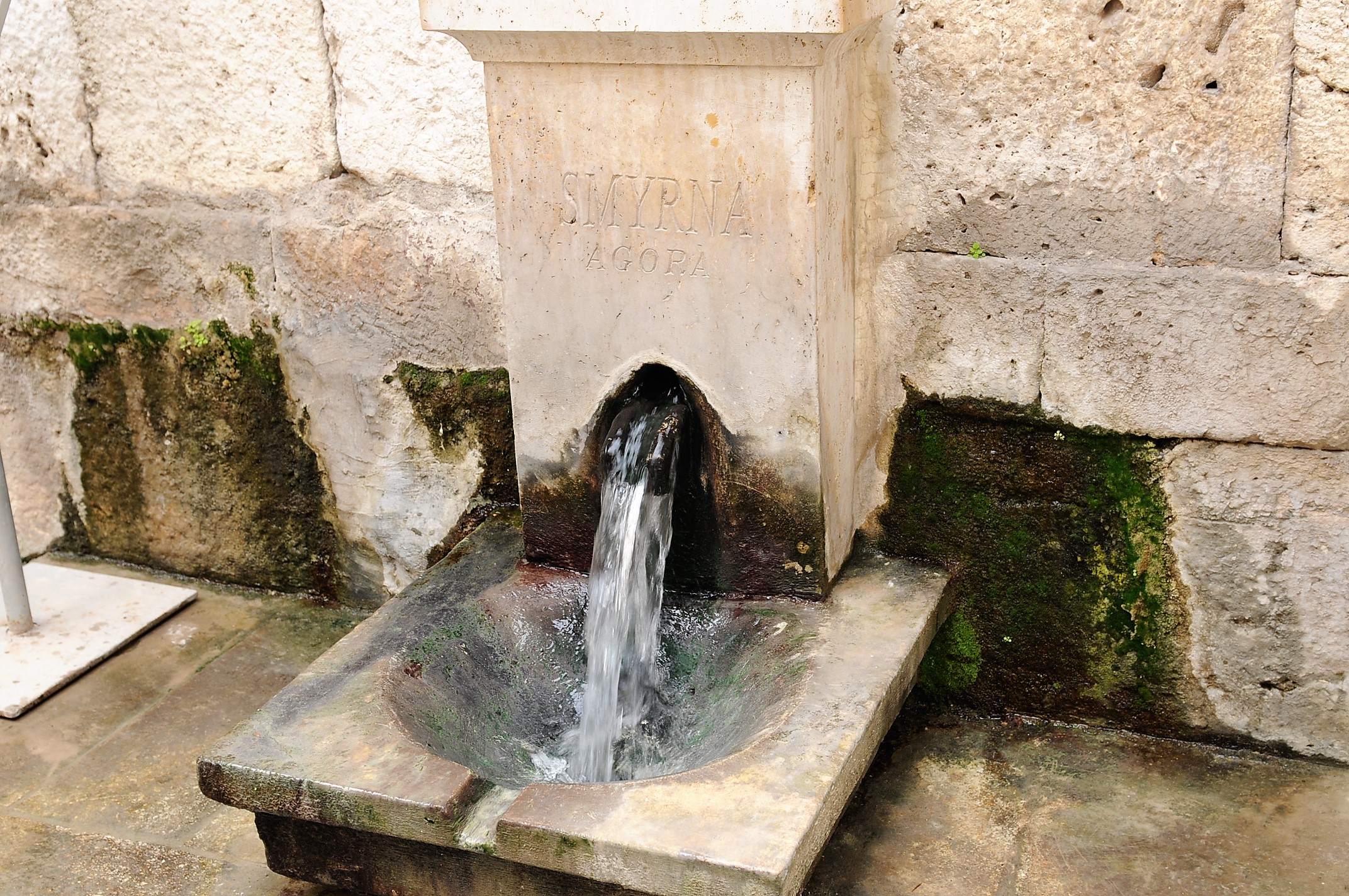
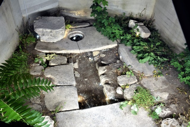
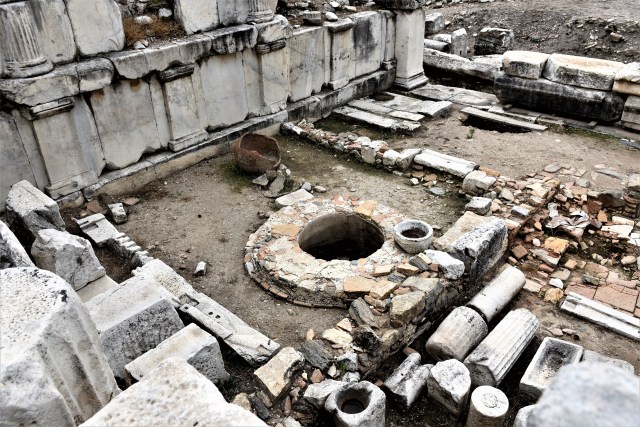
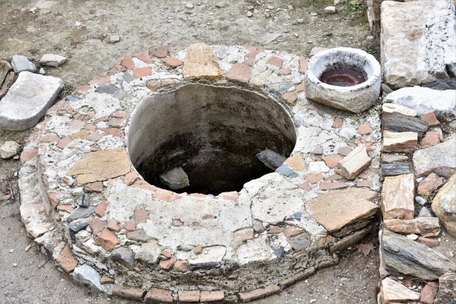
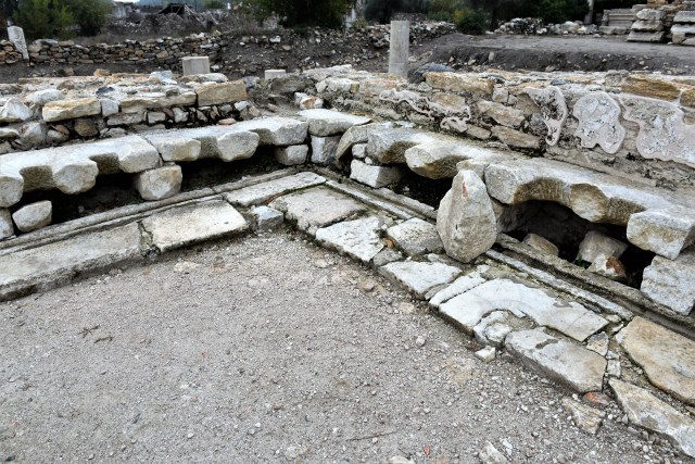
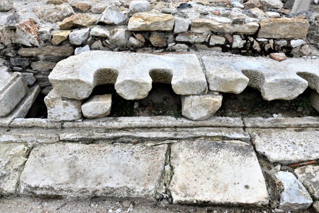
Washbasin

Washbasin

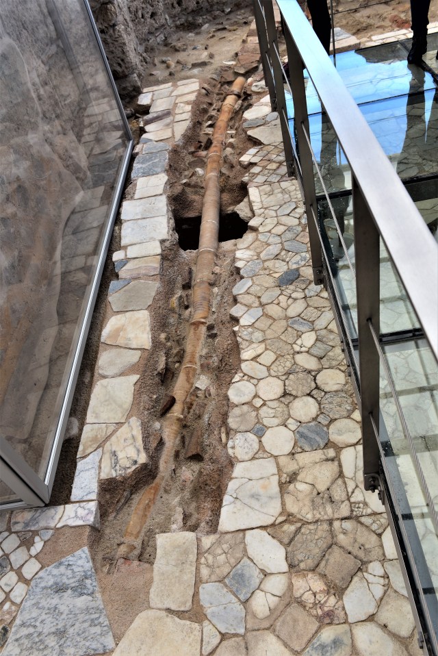
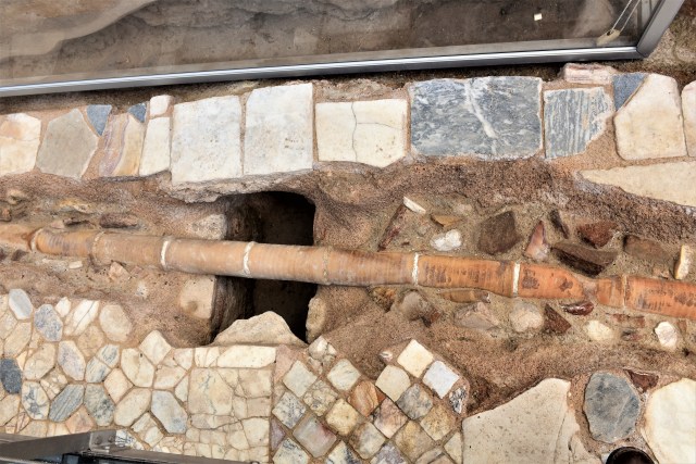
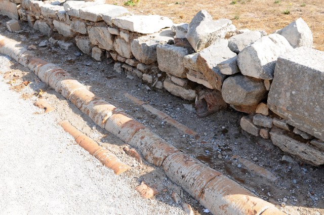
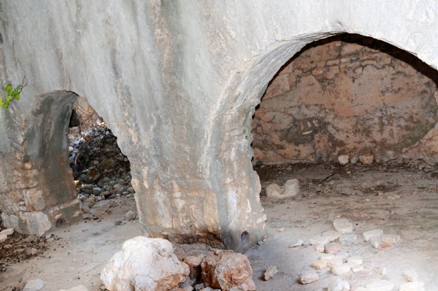
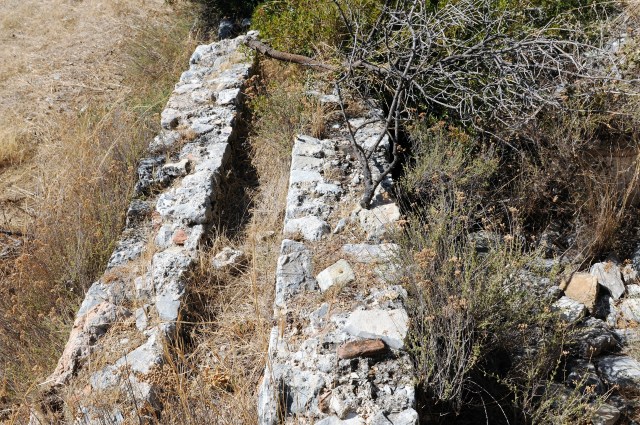
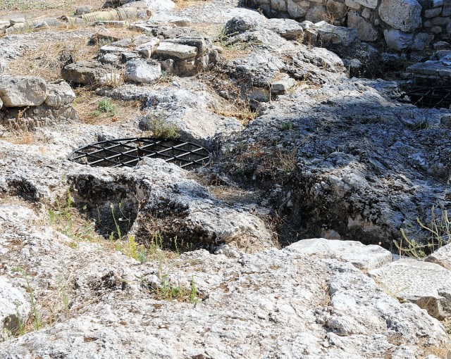
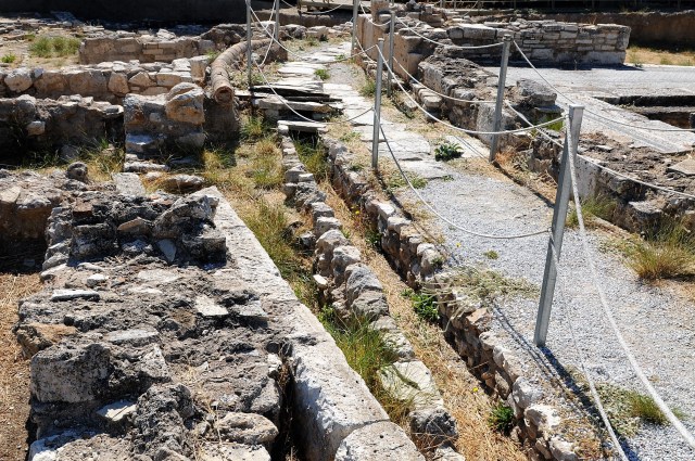
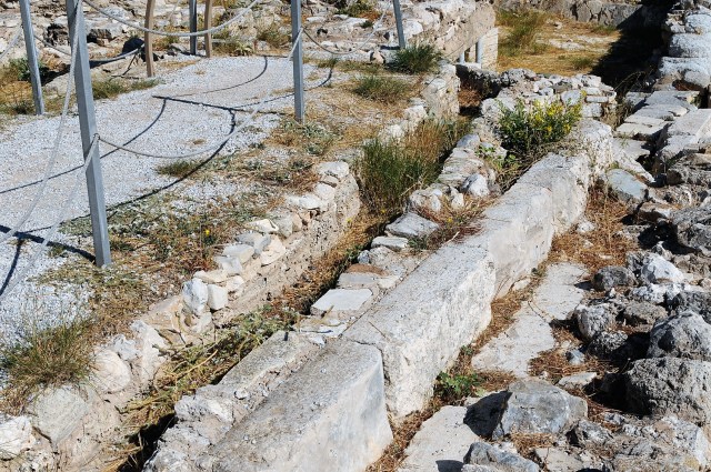
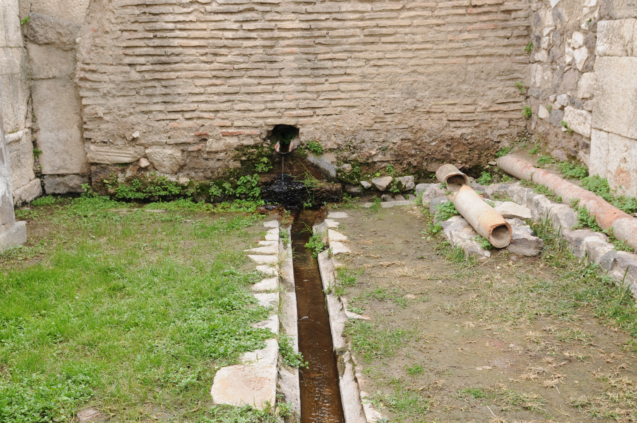
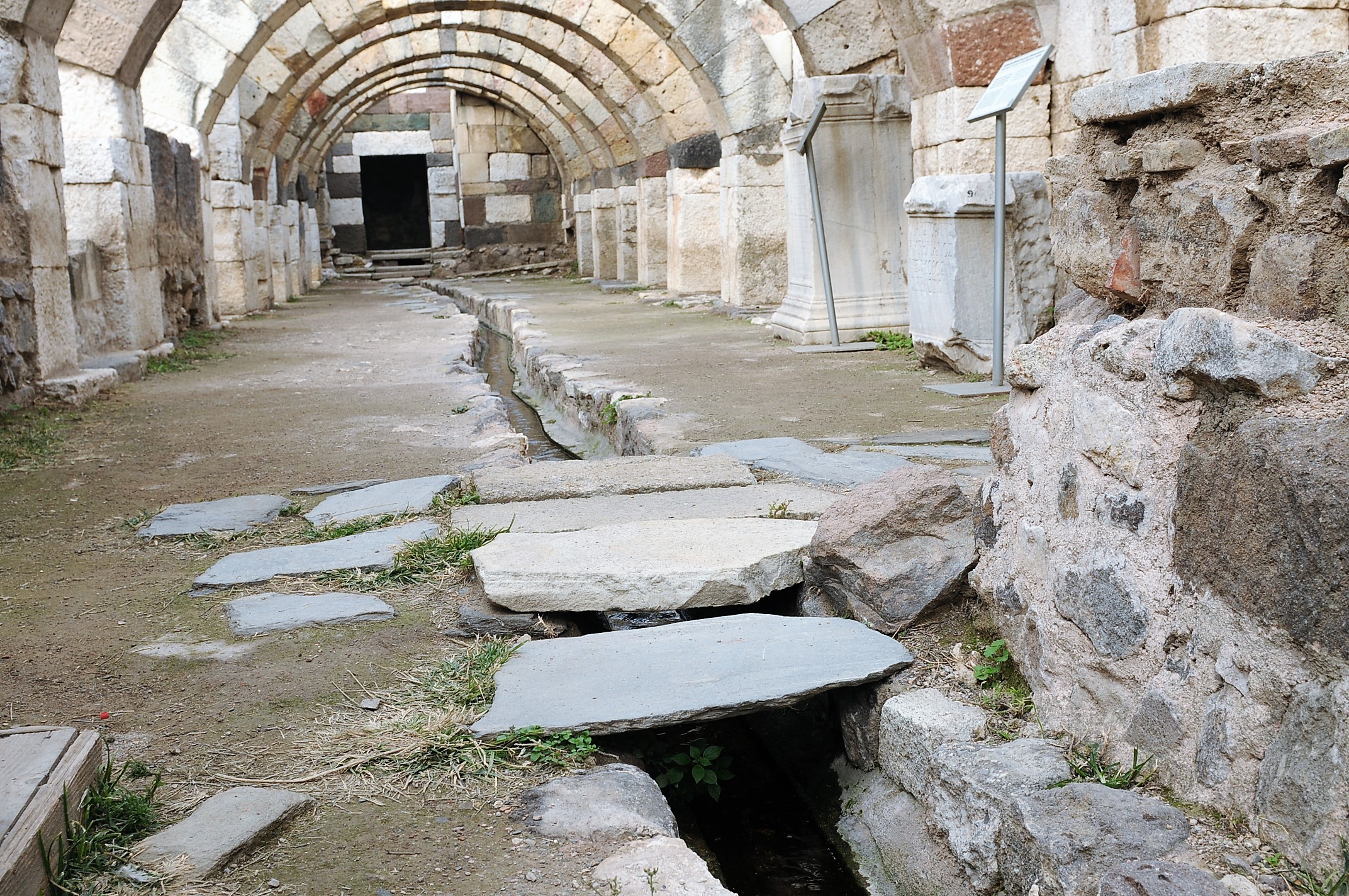
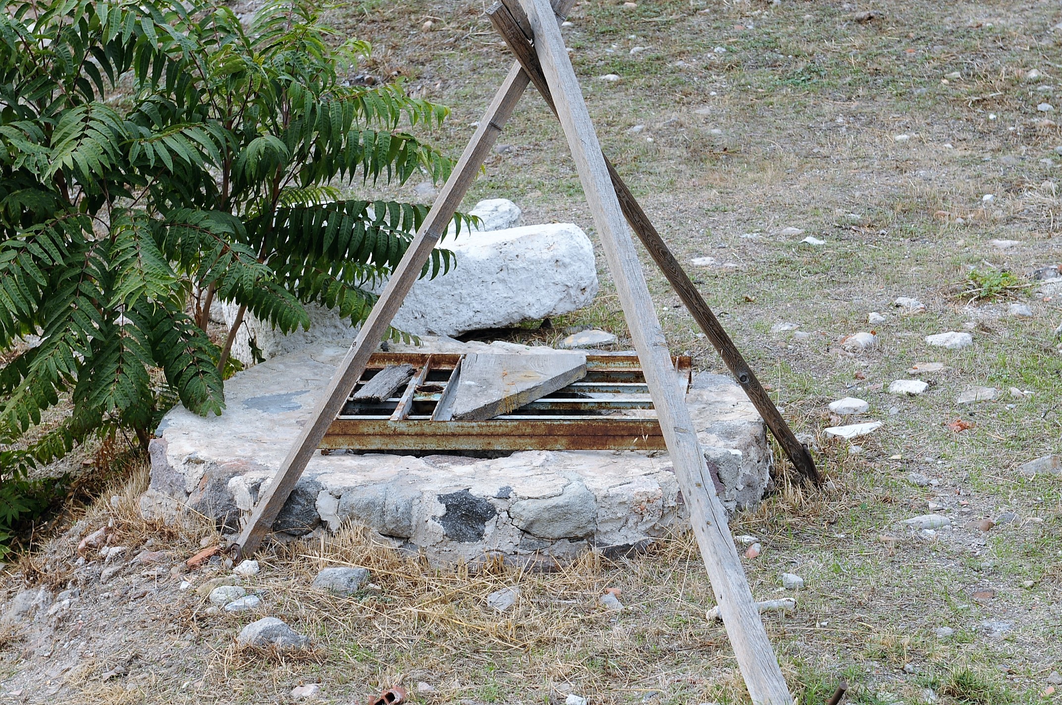
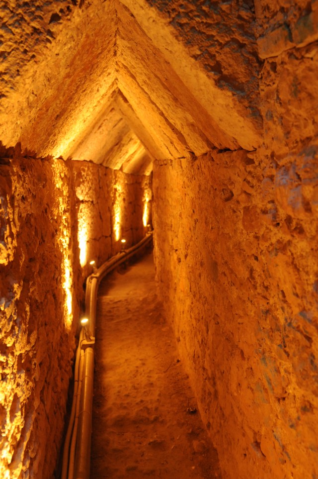
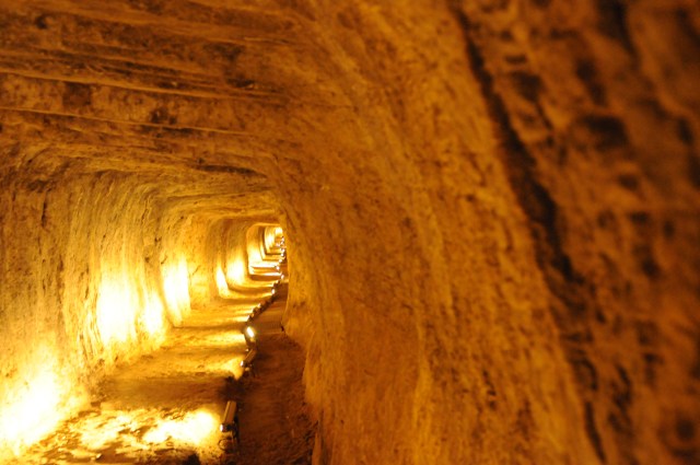
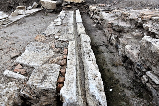
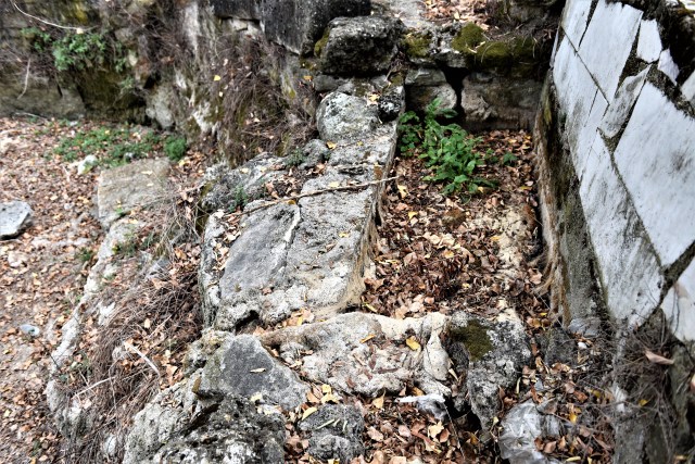
Channel section
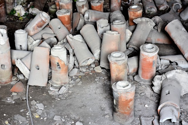

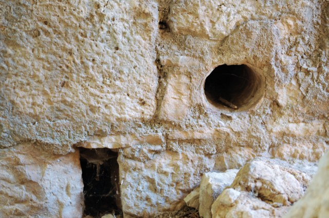
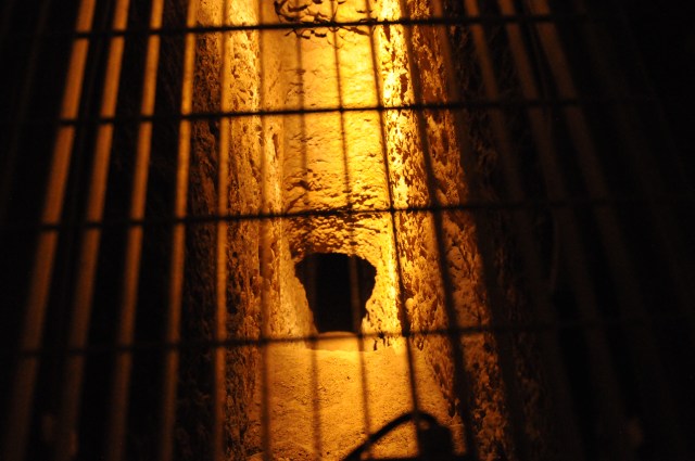
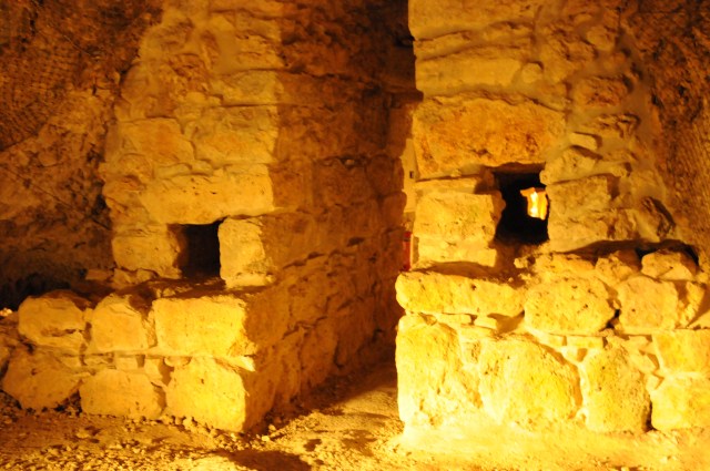
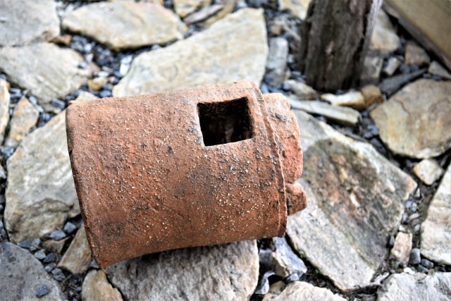
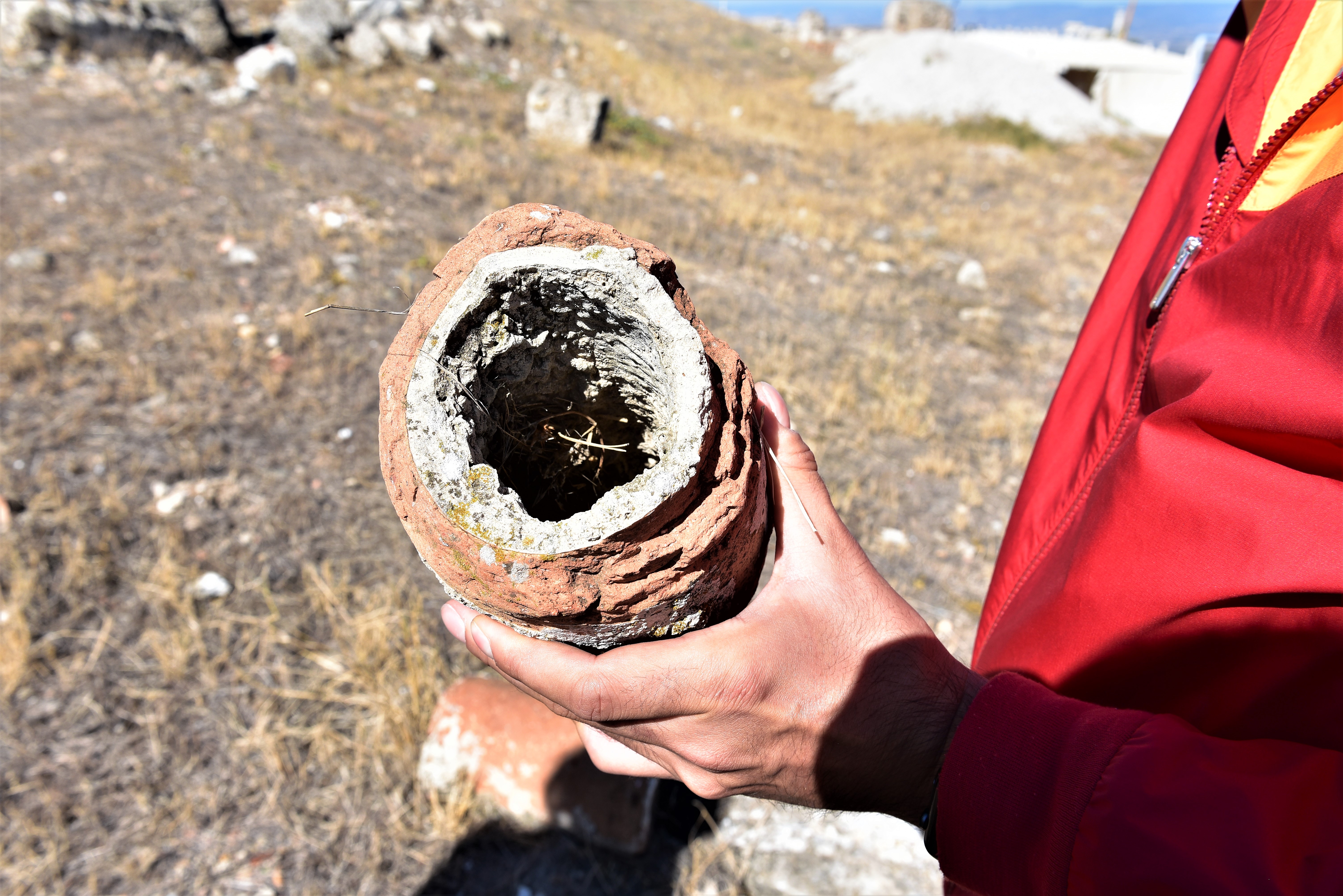
Hypocaustum or underfloor heating system – showing terracotta pipe.

Hypocaustum


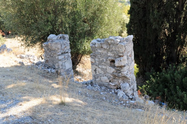
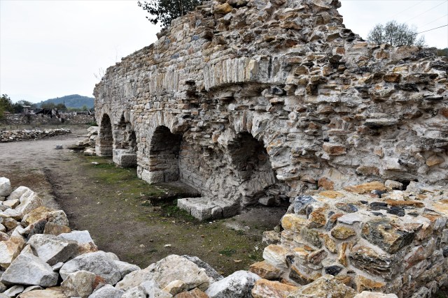
Praefurnium – service gallery


Caldarium (on south side)


Carved marble cornice – fridgidarium
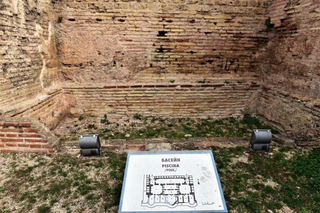
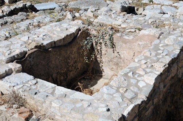
Piscina – pool in fridgidarium

Area outside praefurnium

Hercules’ club – architectural detail
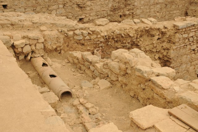
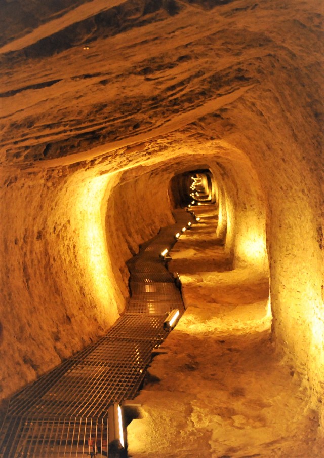
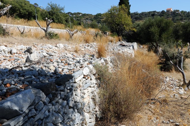
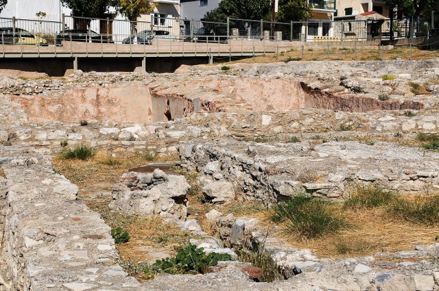
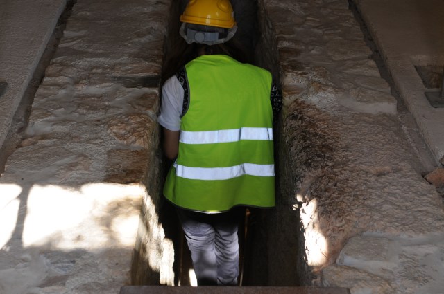
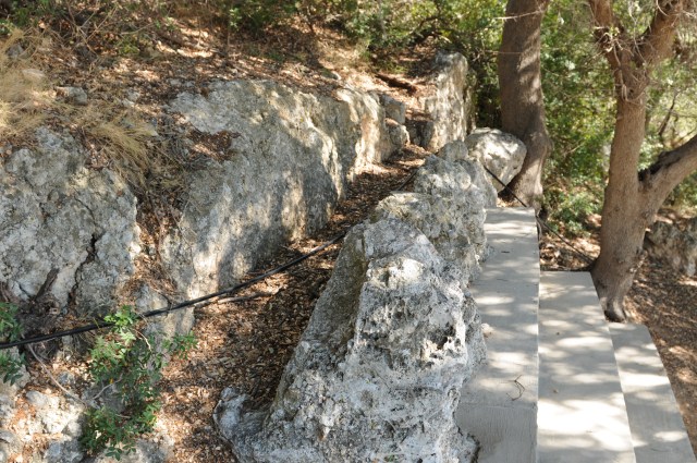
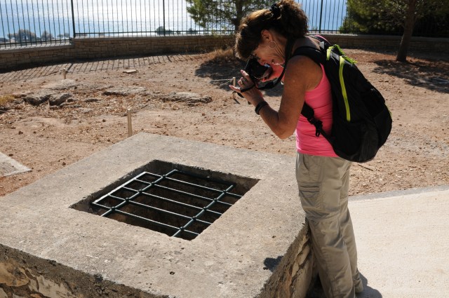
Sewer system at Odessos


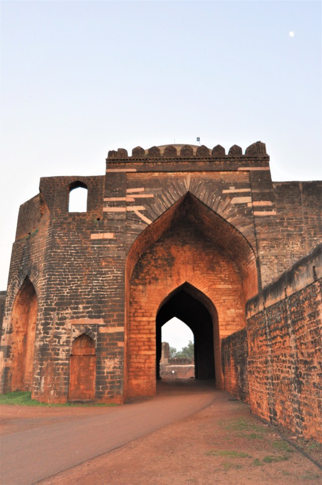
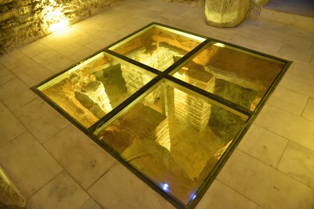
Main aqueduct of ancient Odessos and the entry point into the Odessos Fortress were discovered by archaeologists in Varna at the site of an excavation for a building with the ground floor being a coffee shop with the aqueduct and fortress wall remains seen from inside the coffees shop through the floor and viewing wall.

Aqueduct – 25 cm diameter

Fortress wall and aqueduct
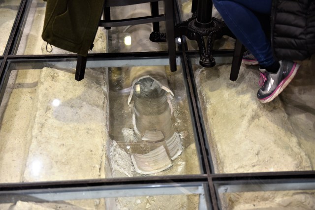
Photo of aqueduct taken through glass floor of Muro Coffee Shop.

Coffee shop (Muro) where main aqueduct was found during excavation for foundation of building.
More information of the aqueduct can be found in https://archaeologyinbulgaria.wordpress.com
We visited Assist. Prof. Dr. Hirsto Kuzov of the Varna Museum of Archaeology who was instrumental in the success of this excavation and protection of the remains.
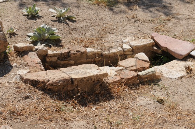
Small bath of Odessos


Shows Black Sea
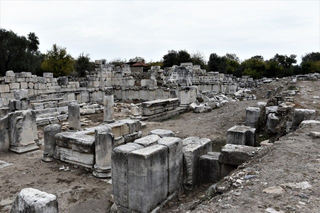


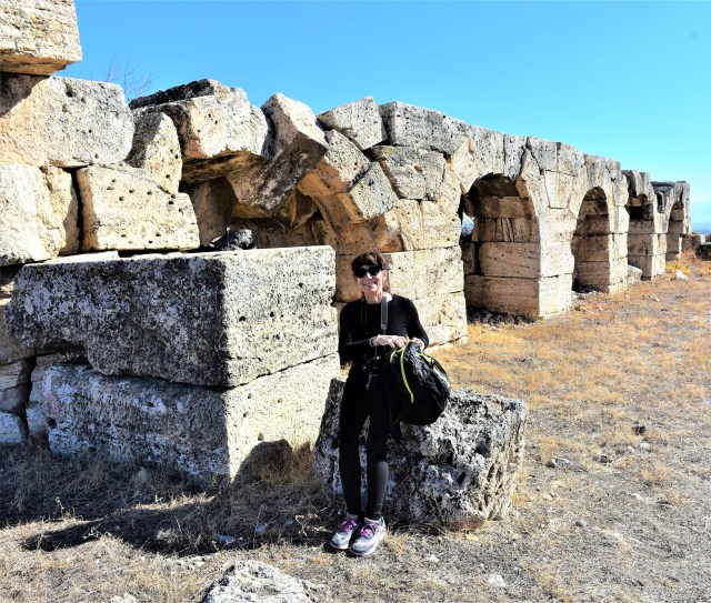 South baths – gymnasium complex
 South baths – gymnasium complex