Nabataean City of Petra (Jordan)
Nabataean Petra began around 300 BC from nomadic settlement origins. The city was also occupied starting around 106 AD with final occupation to the 7th century AD. Petra location was located between Egyptian, Babylonian, and Assyrian territories. As a result over time many exterior cultural, political, and technological influenced the history of the Nabataean City. The Nabataean kingdom included Jordan, the Hawran in southern Syria, Sinai, the Negev, a large part of the Hijaz in north-western Arabia, and for a short time it even included Damascus. The verb “nabat” in Arabic means for water “to percolate from underground to the surface.”
![Arabia-Egypt-Petra[1]](https://ancientwatertechnologies.com/wp-content/uploads/2014/03/arabia-egypt-petra1.jpg?w=640&h=906)
Petra’s location as an intersection for caravan trade from Arabia, Africa, and the Far East sustained the life and wealth of the city and allowing appropriate water supply infrastructure for its survival as a result of the complex topography and the limited water resources of the area. Water infrastructure technology passed on through the ages obviously from the Egyptian, Mesopotamian, Minoan, Hellenistic Greeks, and the Romans, Petra was able to develop magnificent water infrastructure for the arid area. The Nabataeans had a tremendous understanding of the natural flow of water in the unique surroundings. Water infrastructure included terraces, channels, settling basins, aqueducts, dams, rainwater harvesting, flood harvesting, groundwater harvesting, a large range of size and types of cisterns, reservoirs created by dams, water distribution tanks, and springs. Throughout the Petra area there are hundreds of cisterns.

The Treasury (Al Khazna)
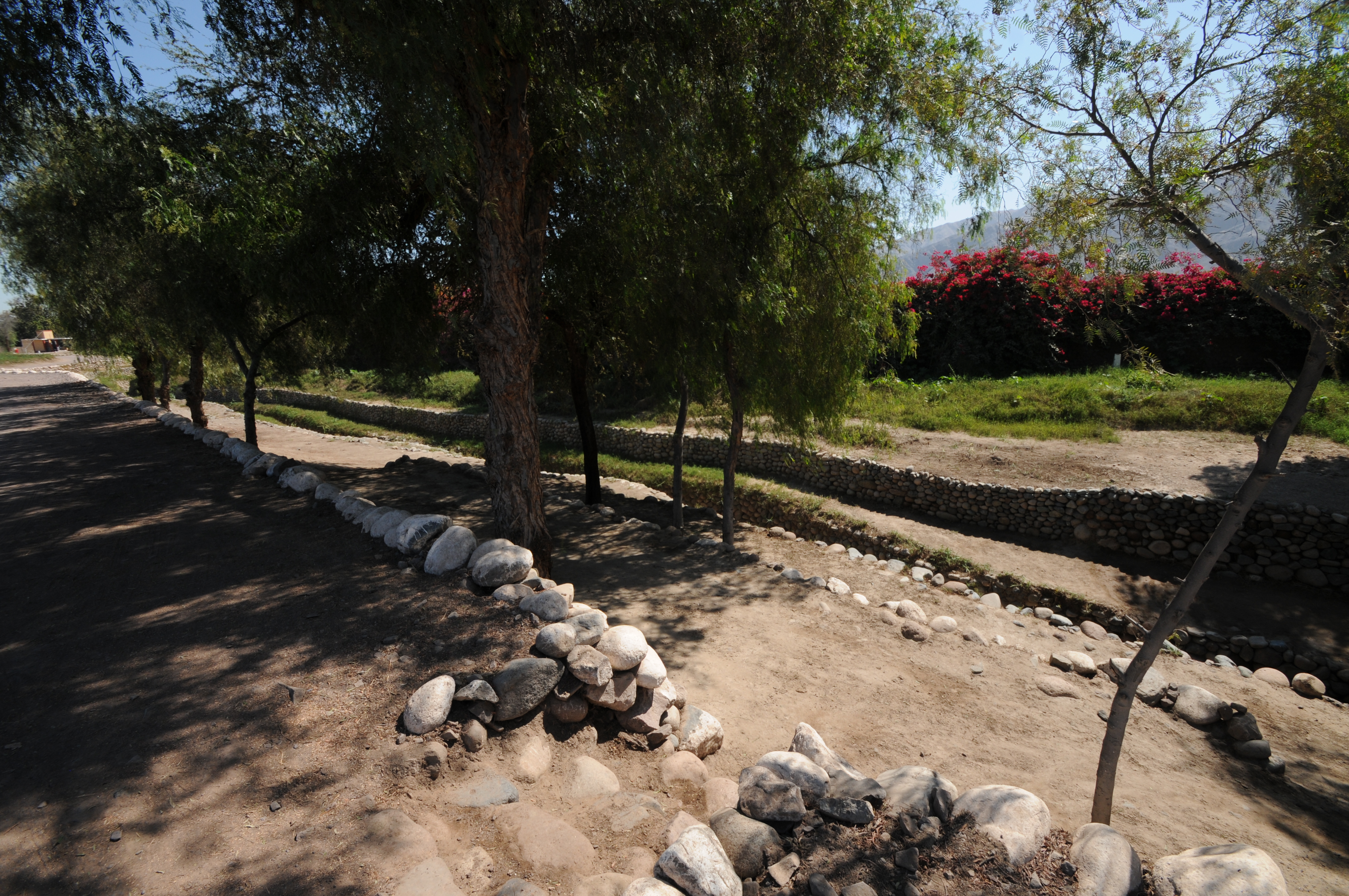
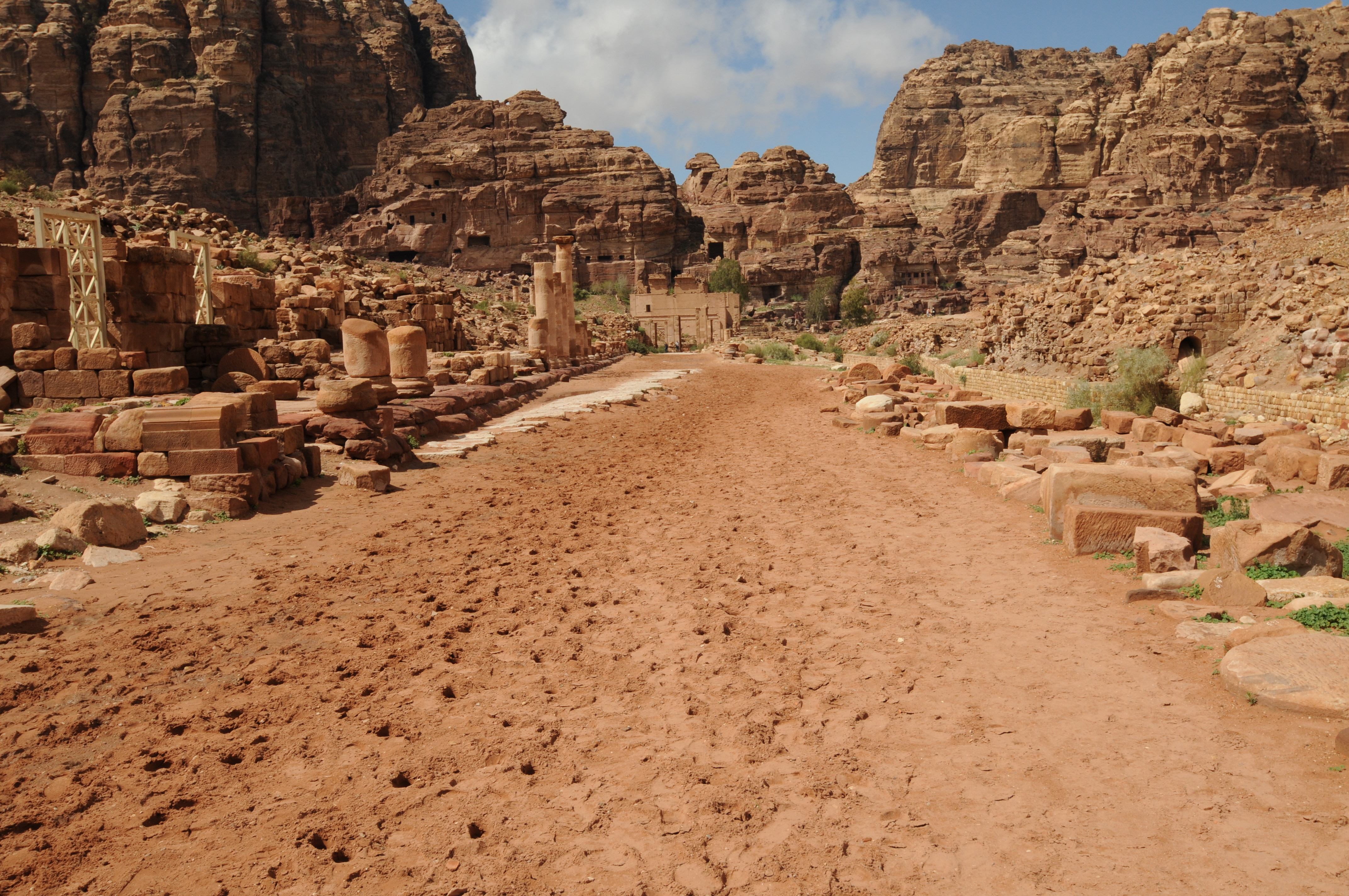
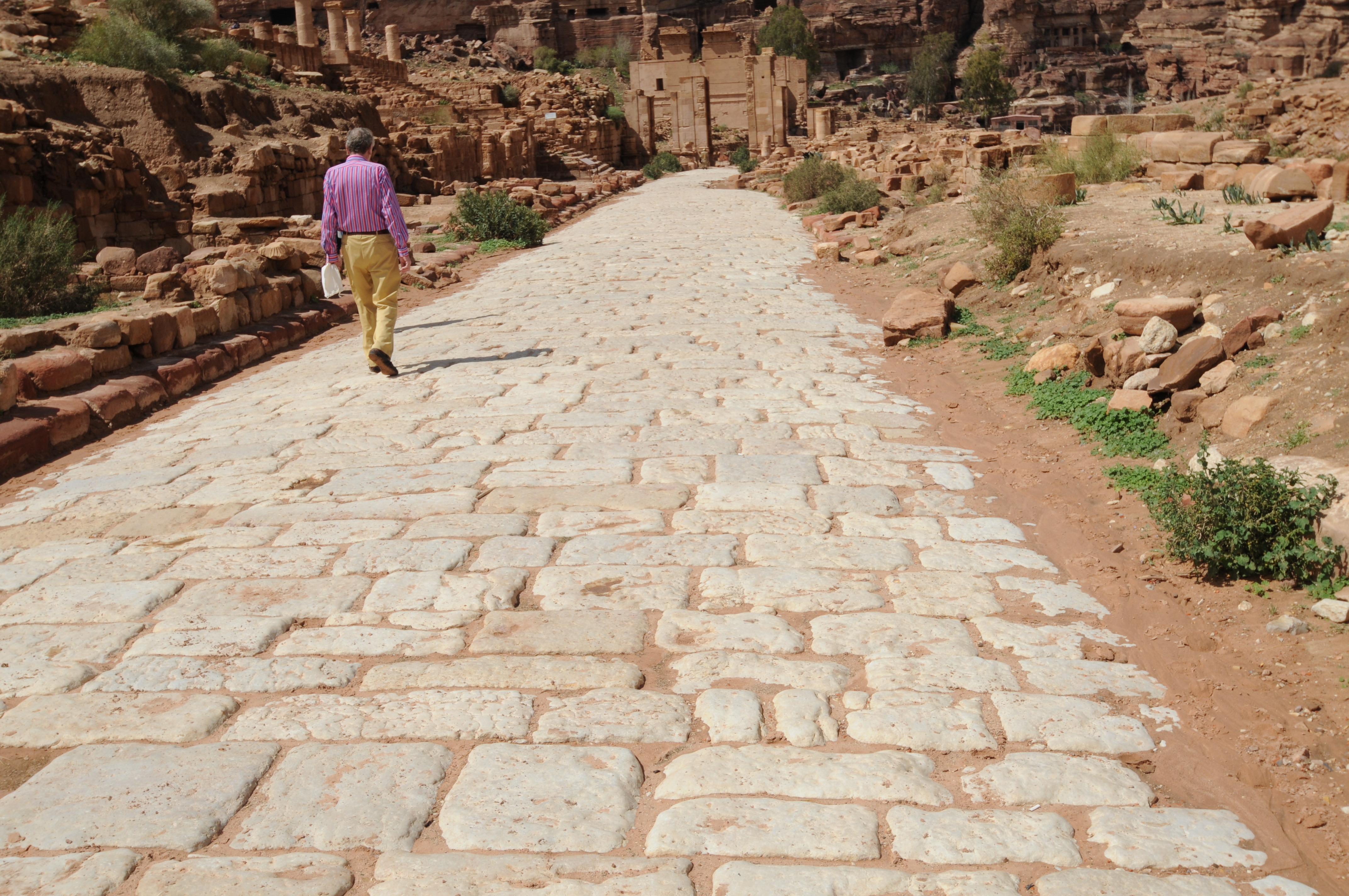
 Road to entrance along Wadi Musa
 Near entrance along Wadi Musa
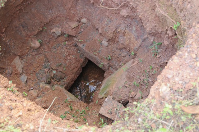
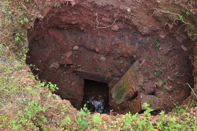
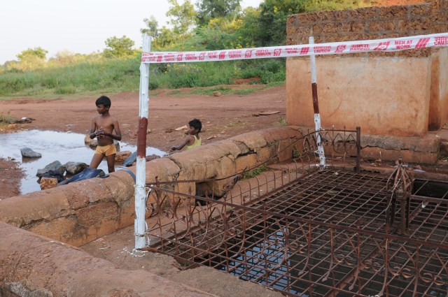
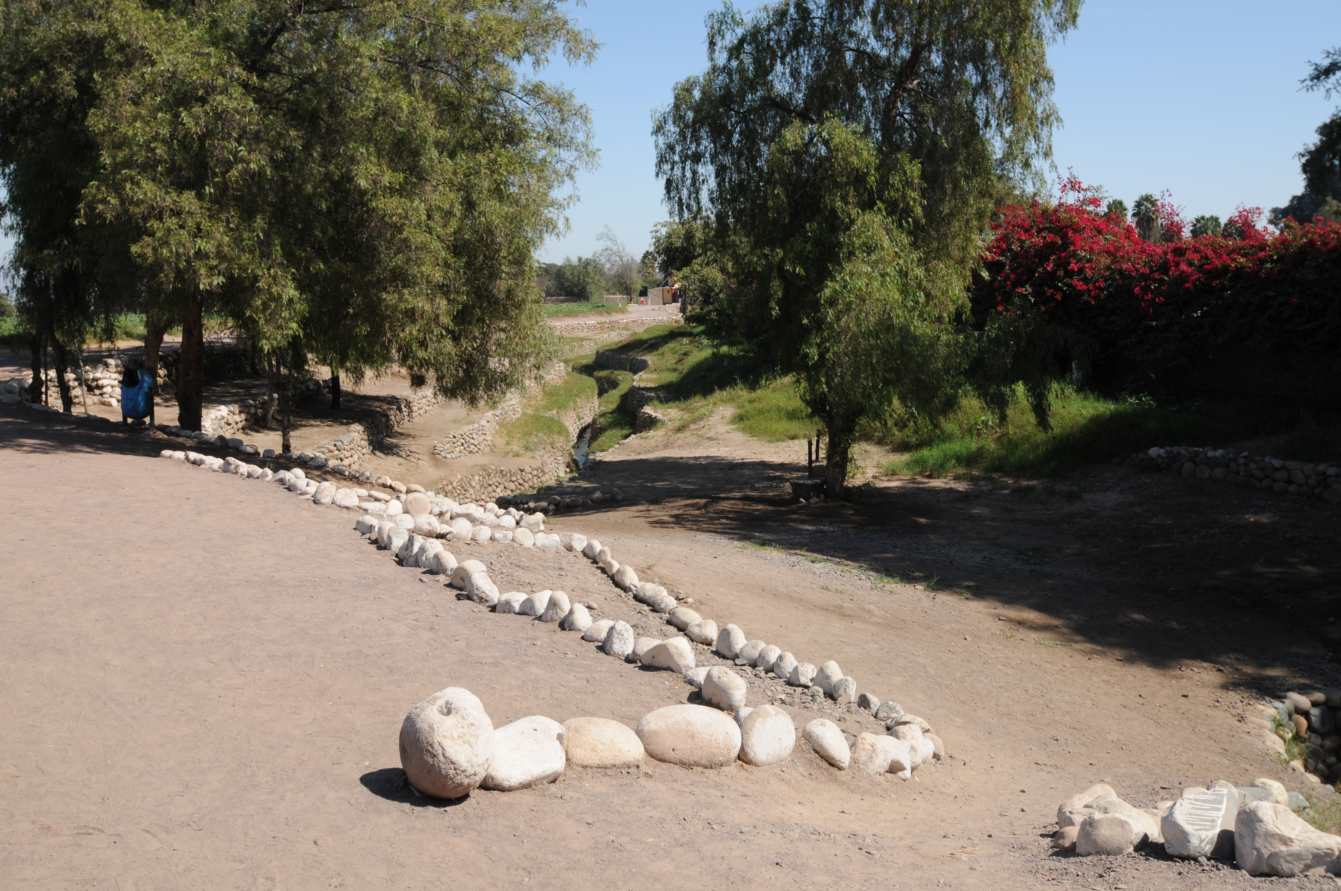
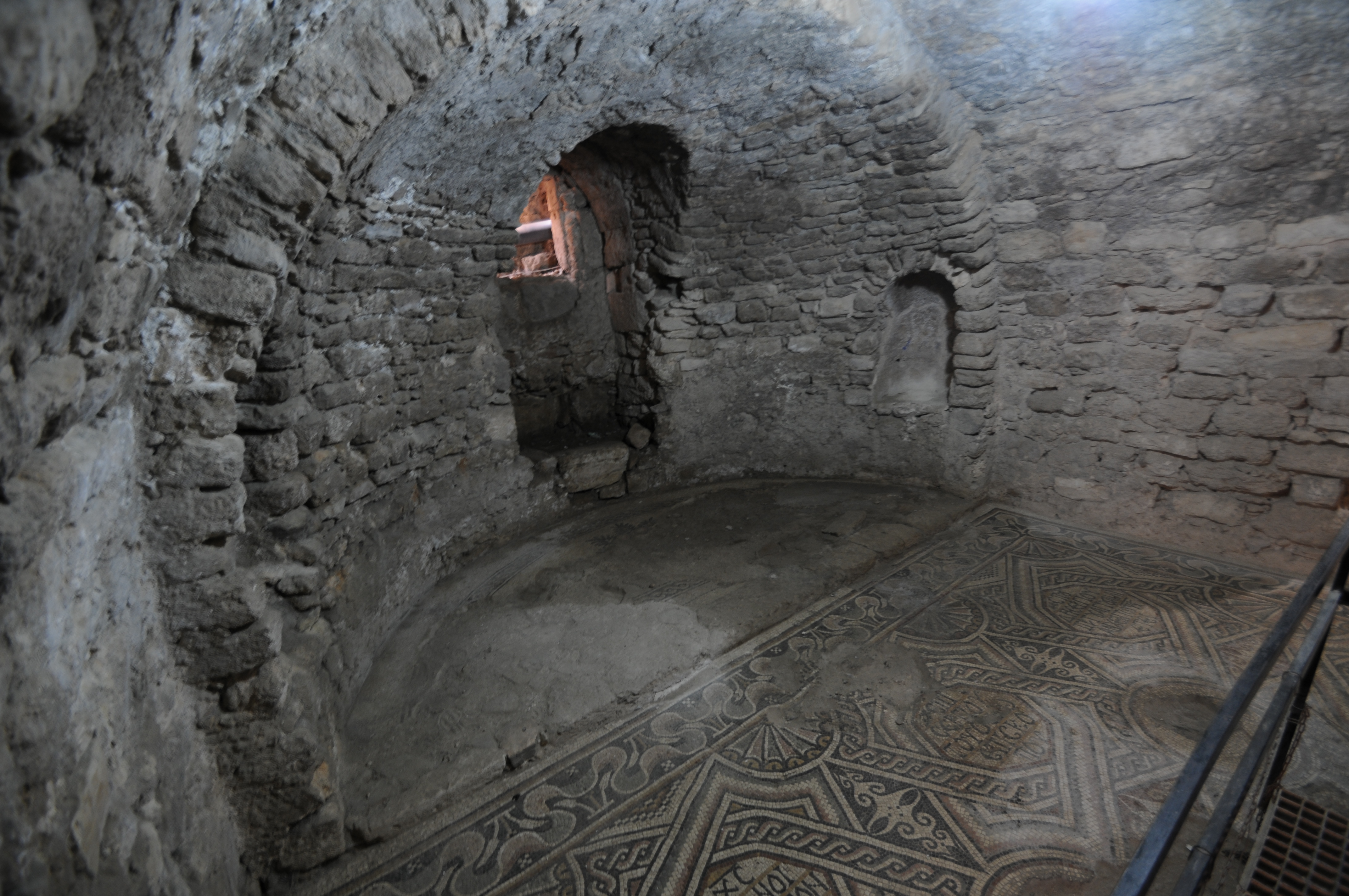
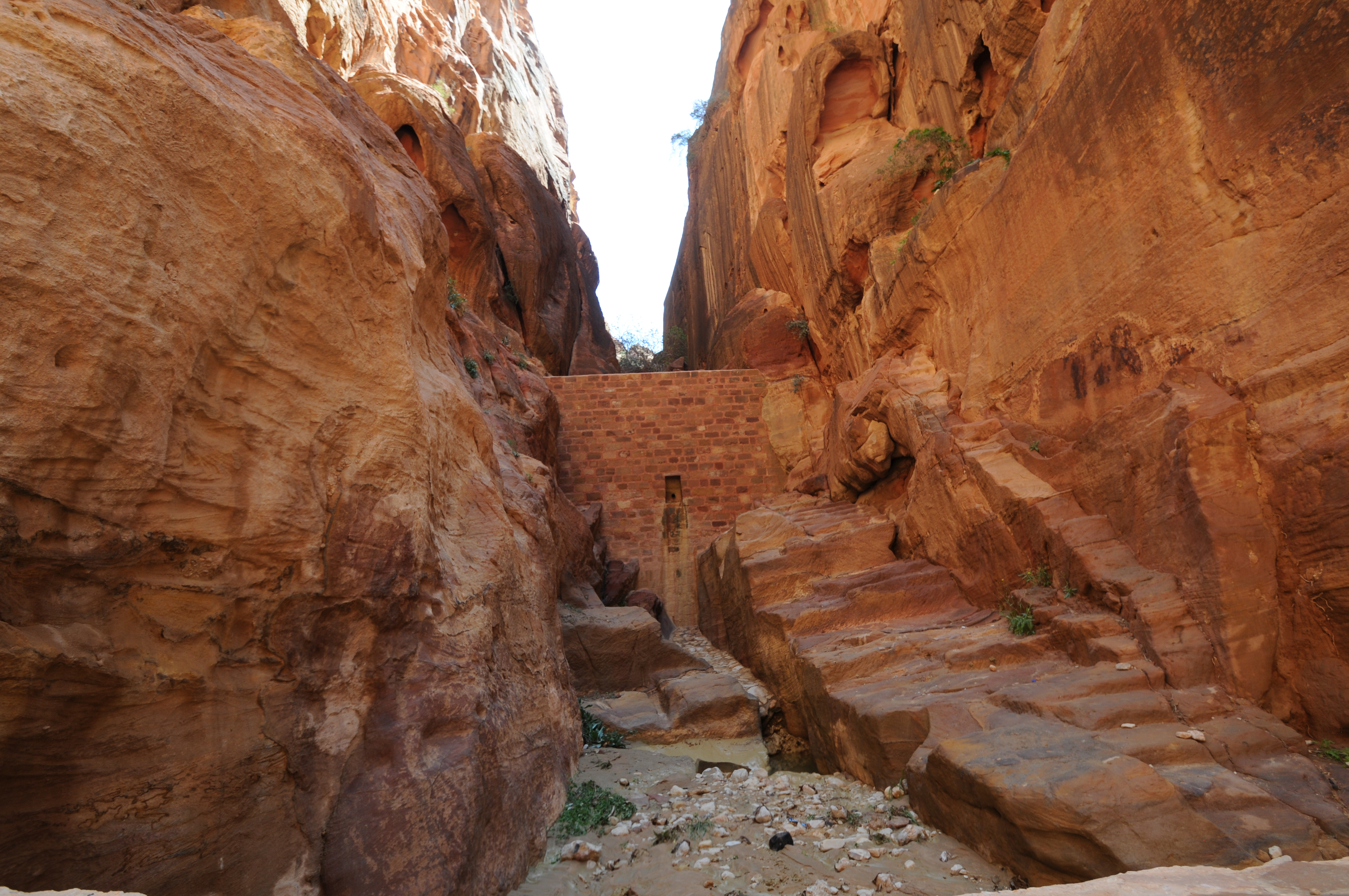
 At entrance showing new additions for diverting flows from the Siq and the ancient tunnel built by the Nabataeans for diverting flows from the Siq
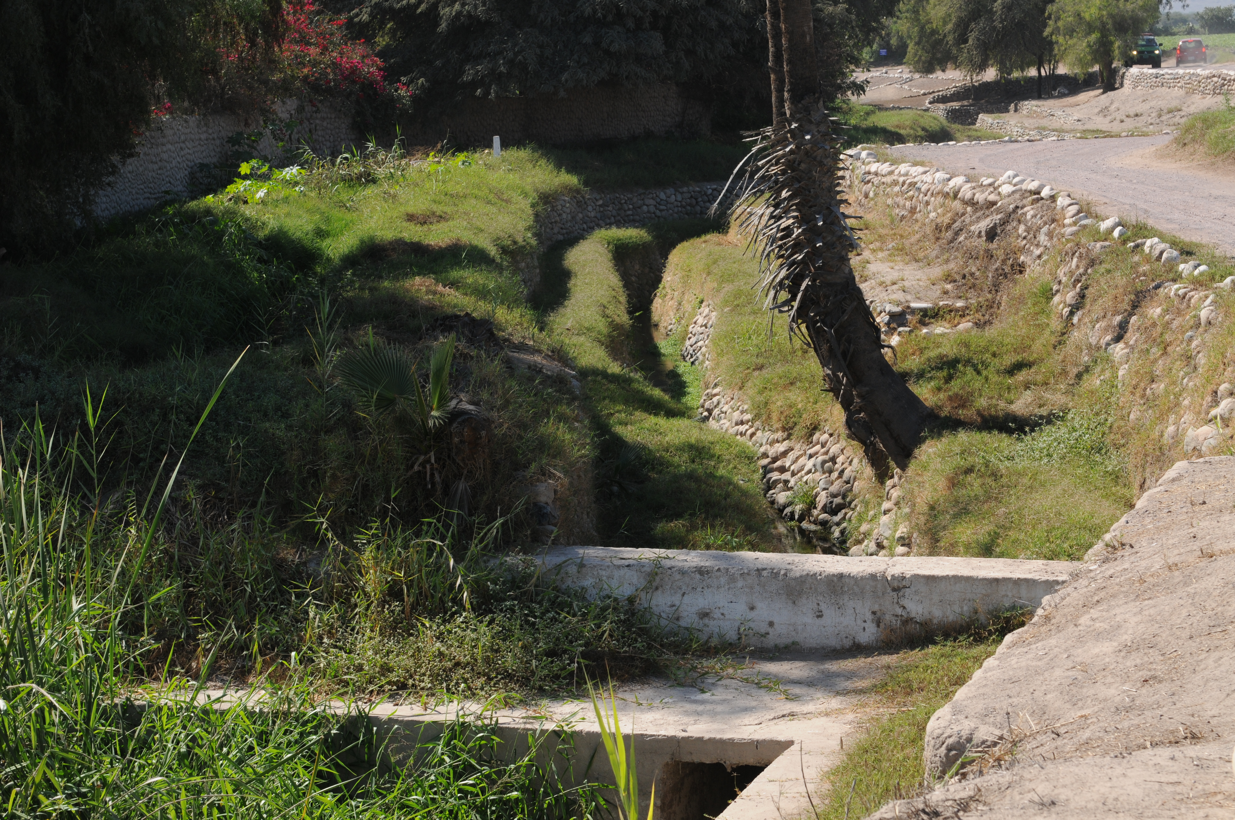
 Entrance to Siq where Wadi Musa originally flowed.
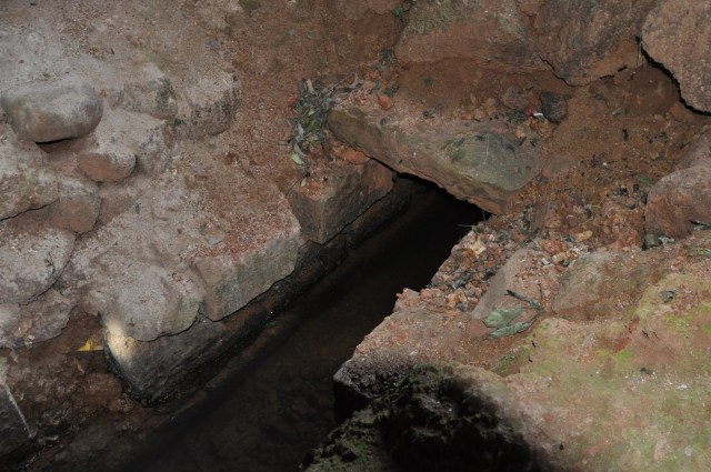
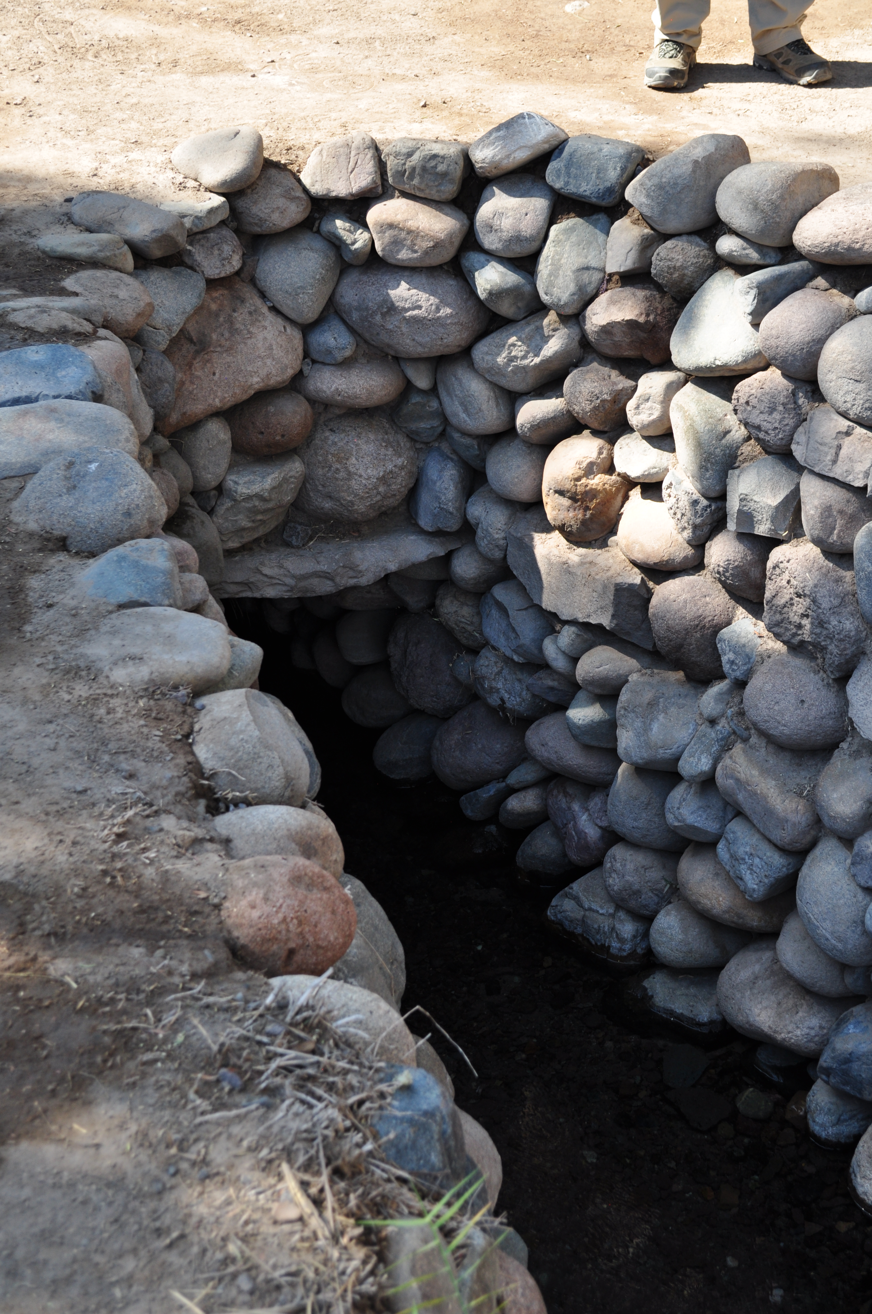
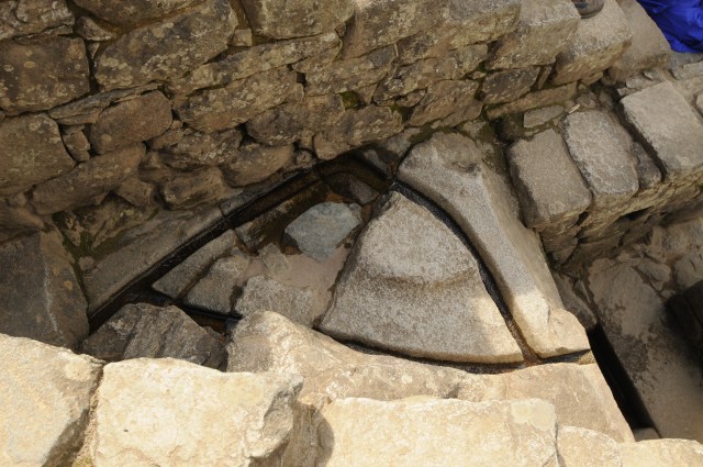
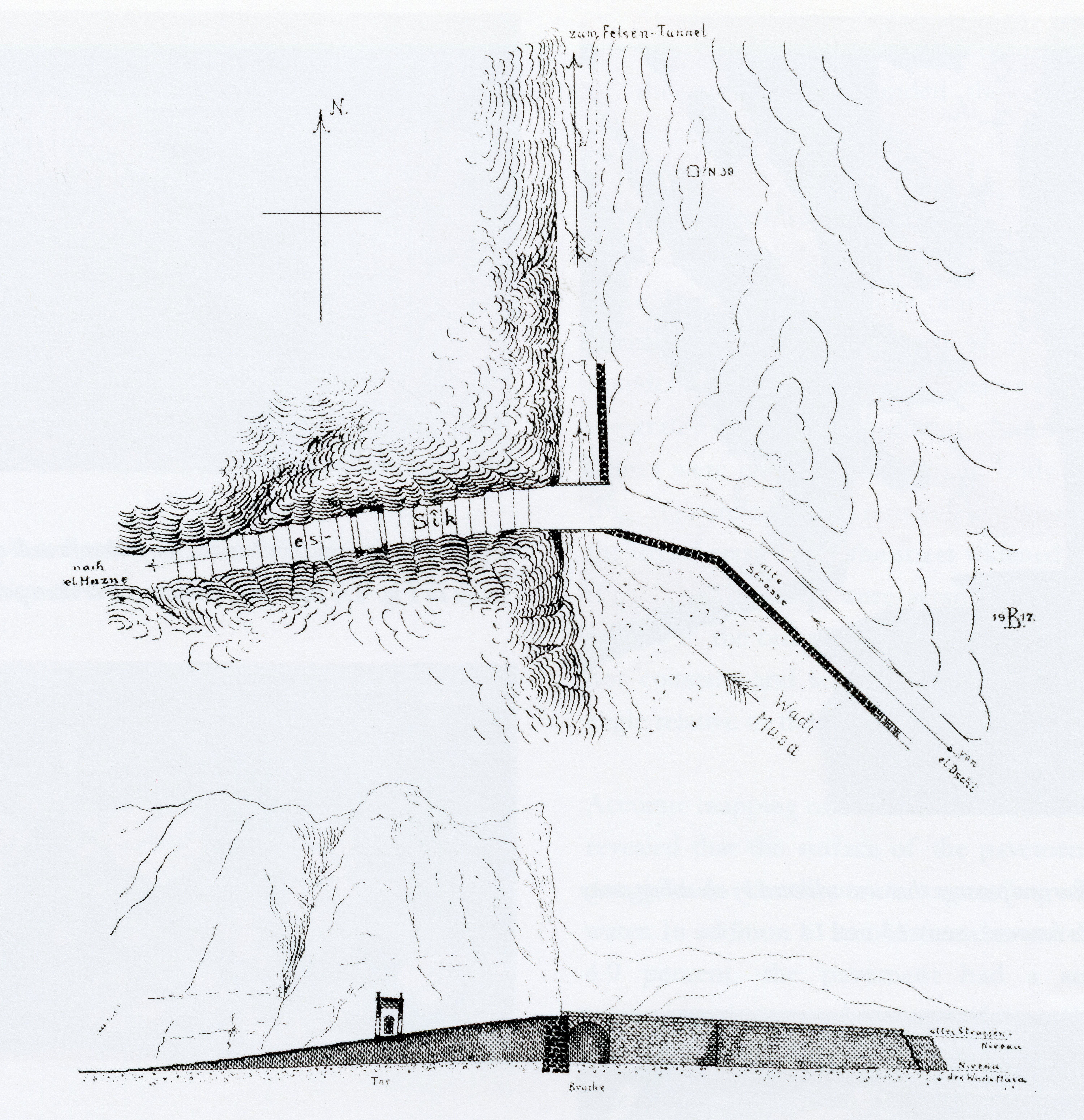
 Flood bypass tunnel built by the Nabataeans near entrance to the Siq from Wadi Musa into Wadi Mudhlim through the tunnel
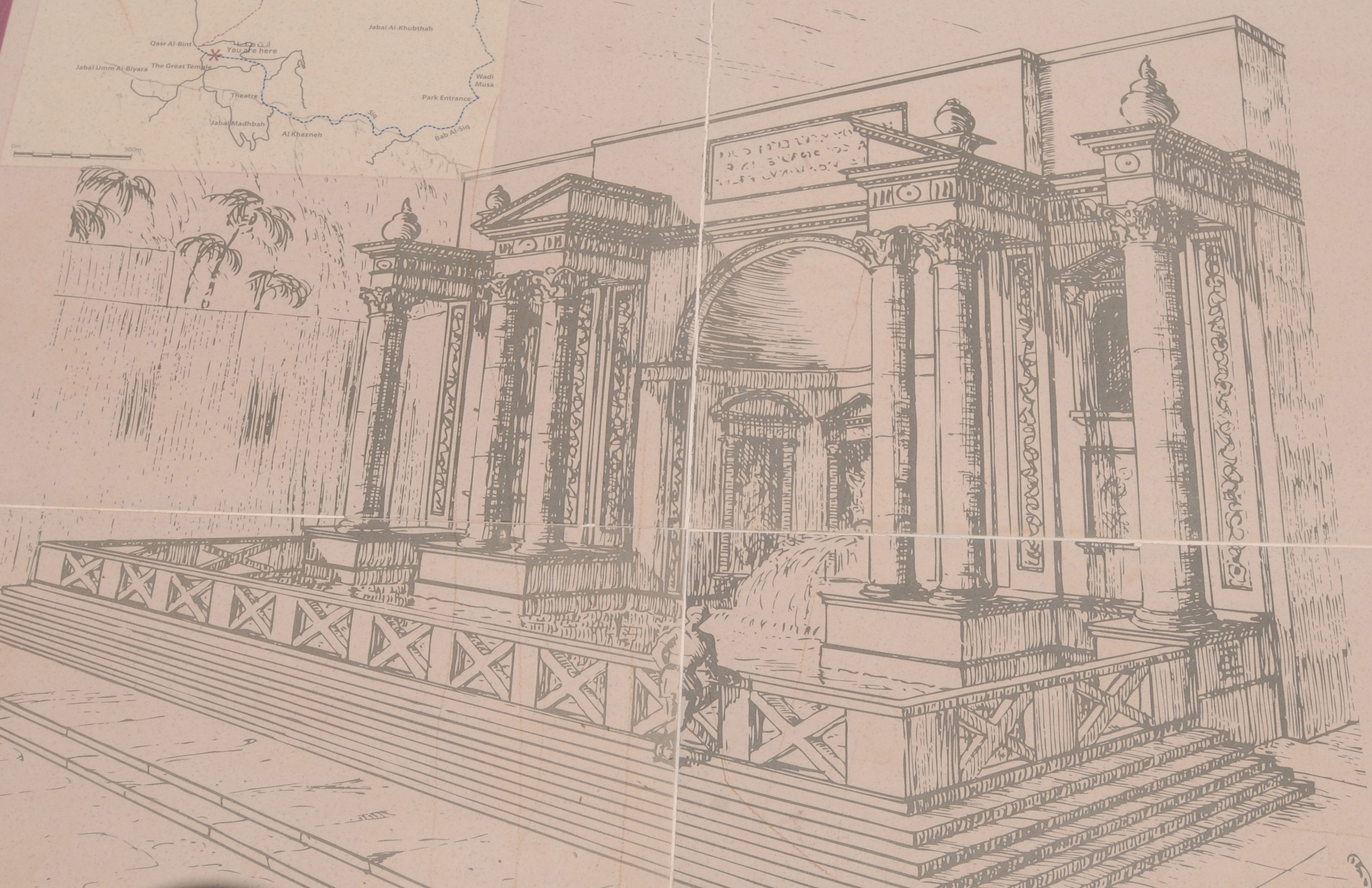
  W. Bachmann’s 1917 reconstruction of the entrance to the Siq with the plan above and the elevation above. Also shown is the location of the flood bypass tunnel.
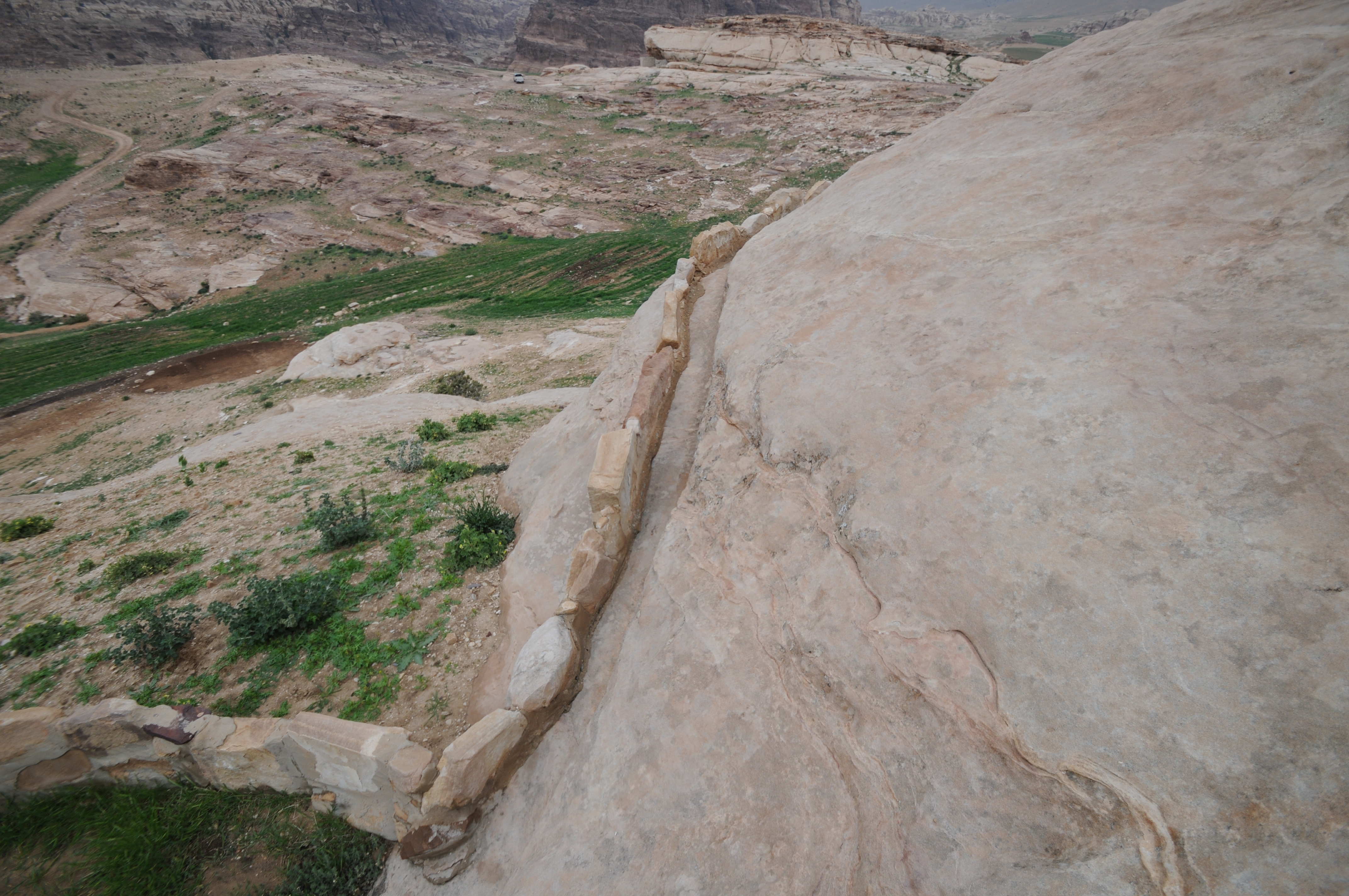
Aqueduct along Siq , which is Wadi Musa.
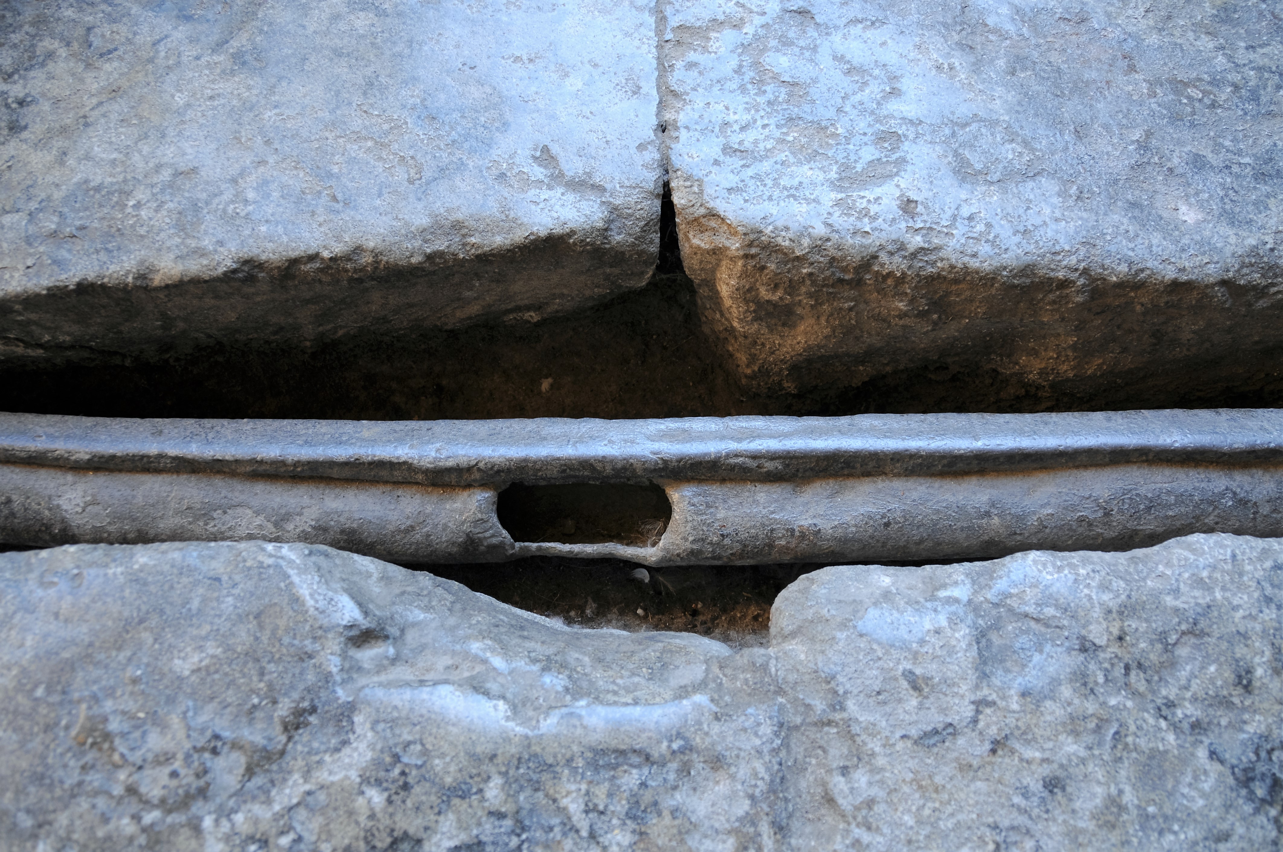
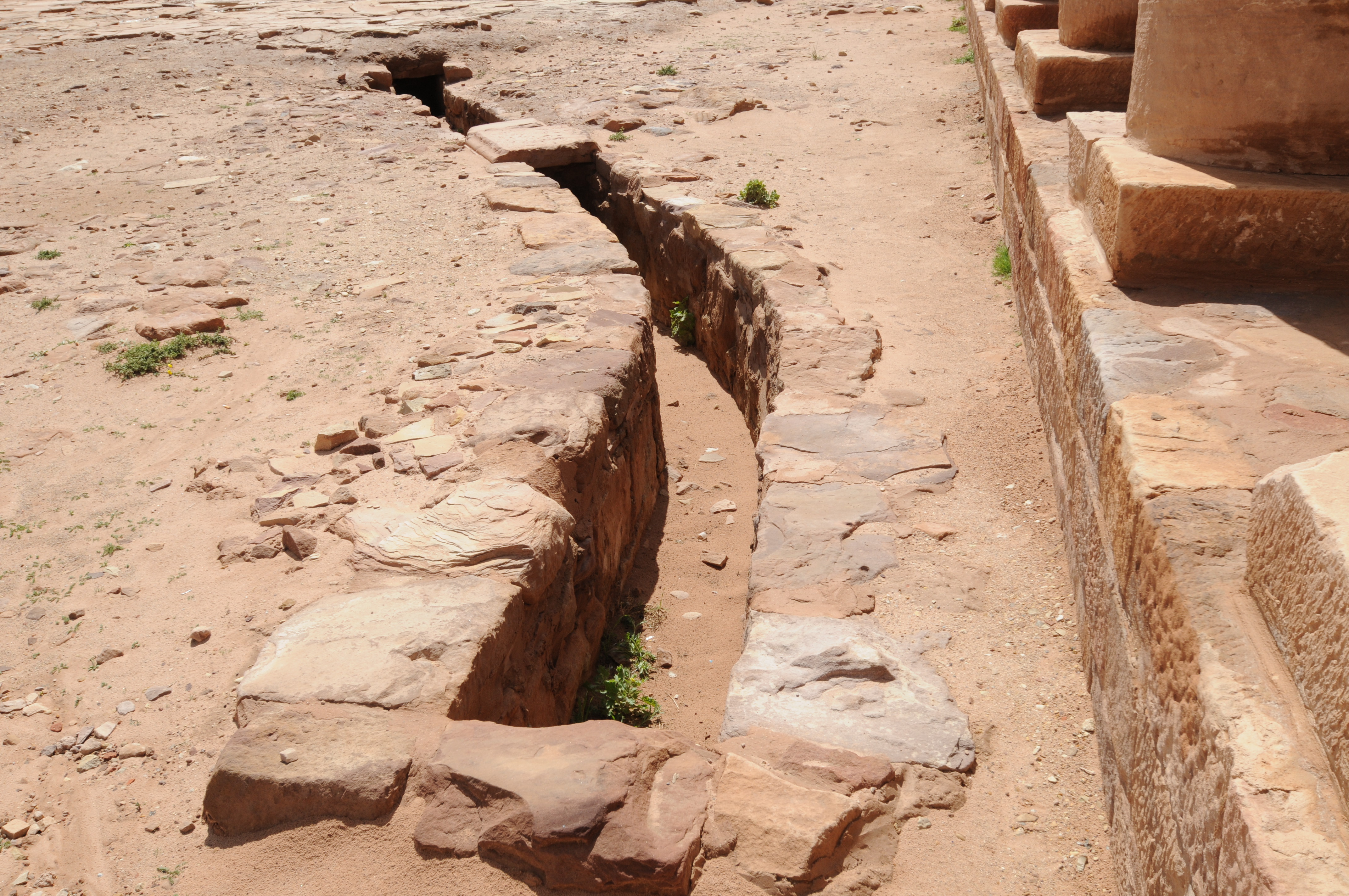
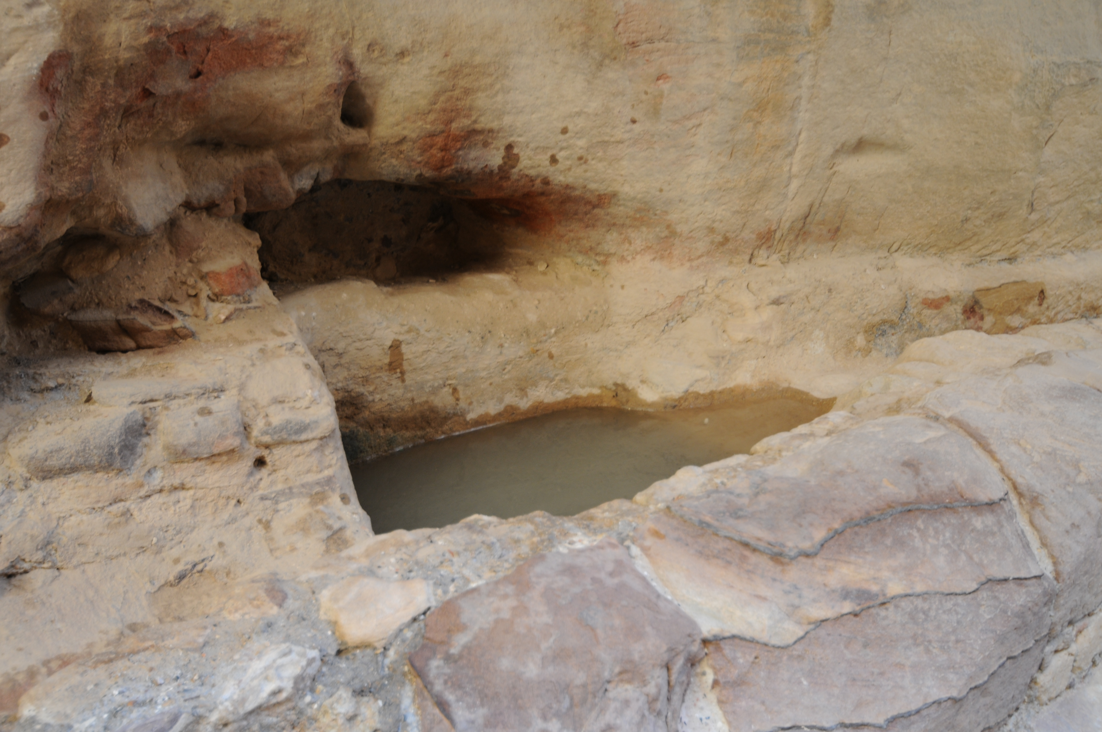
 Outlet from cistern/settling basin
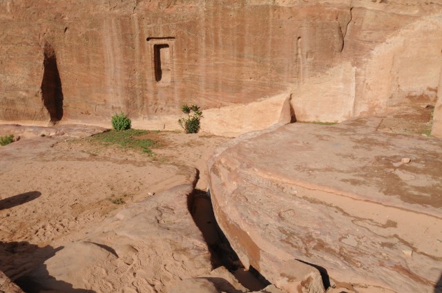
 Wadi Qantara inlet with newly constructed dam structure in the background. Cross-drainage structure for water channel (aqueduct) is shown with the two outlets.

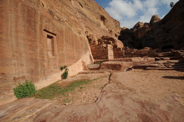
Wadi Qantara inlet showing the rock-cut steps to the sanctuary in the western cliff.
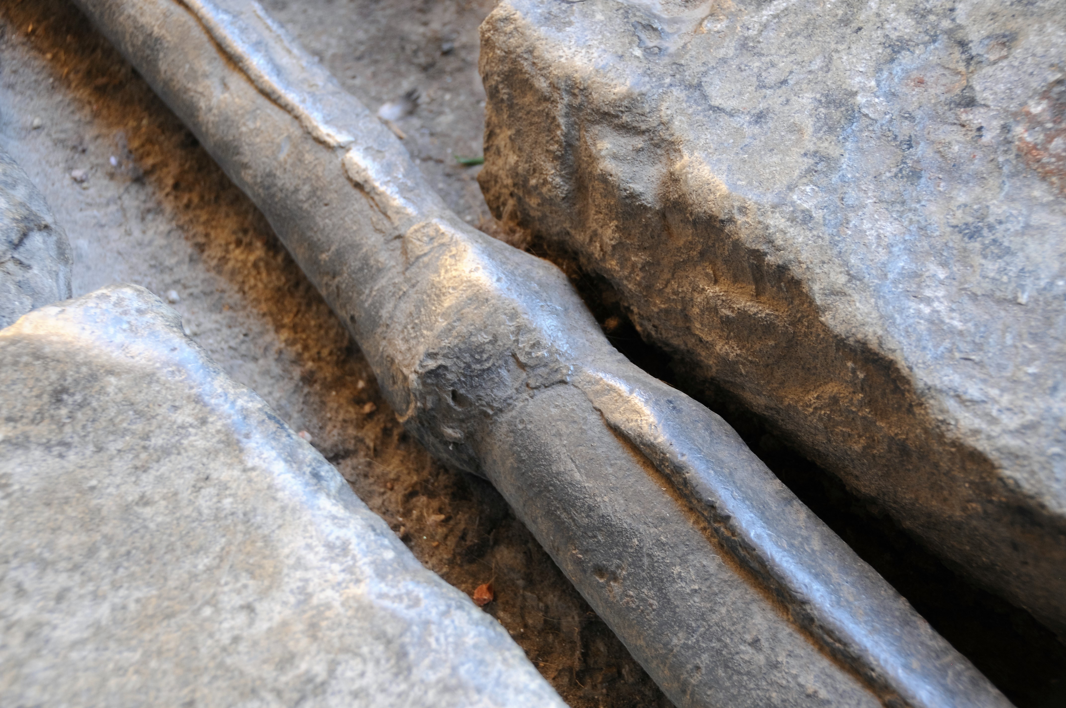
 Aqueduct channel showing rock cover that once covered the aqueduct
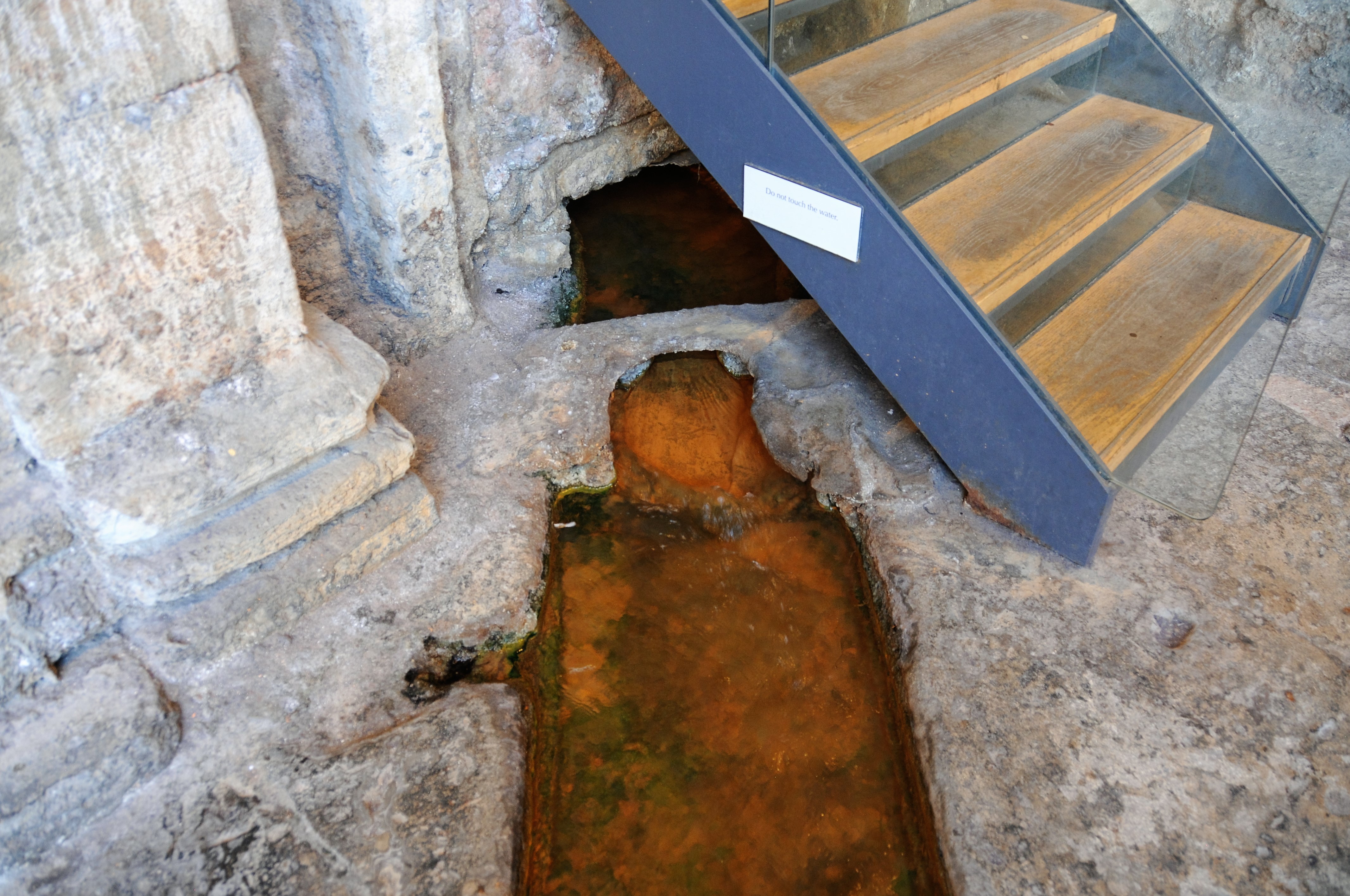
 Stilling basin in Siq at bottom of Wadi Jilf after restoration.

Shows stilling basin at outlet of Wadi Jilf. Two outlets in cross-drainage structure in background.
 Settling basin along aqueduct in the Siq
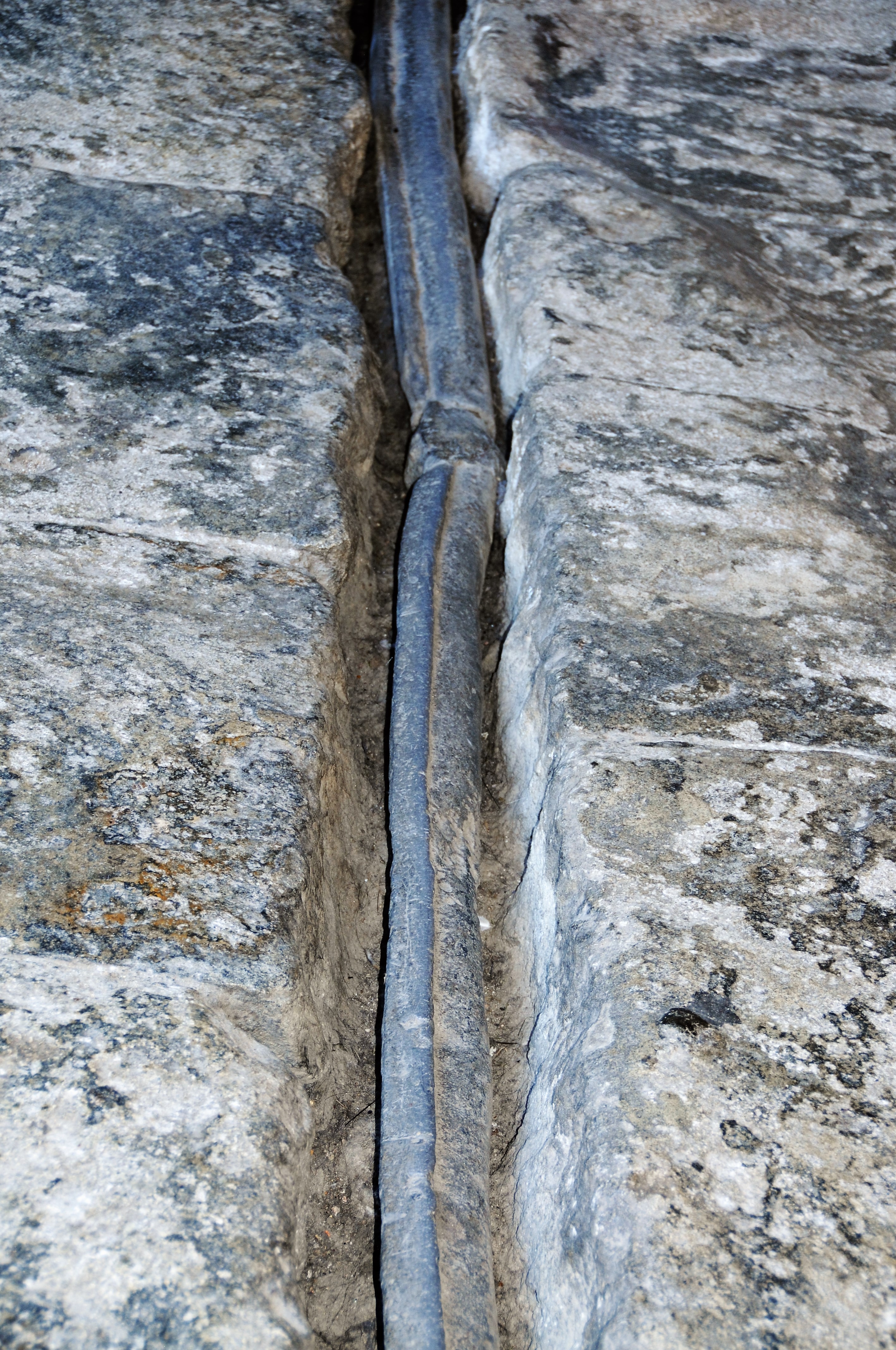
 View of aqueduct along Siq
 Along Siq
 Along Siq showing aqueducts on both sides.
 At end of Siq is the Treasury (Al Khazna)
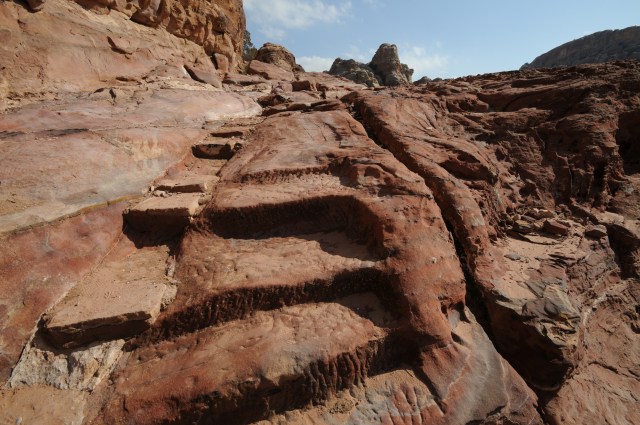
 Steps of the path to the High Place of Sacrfice along Wadi Al-Mahfur
 The High Place of Sacrifice. Notice the outlet on the right for cleaning the sacrifice area.
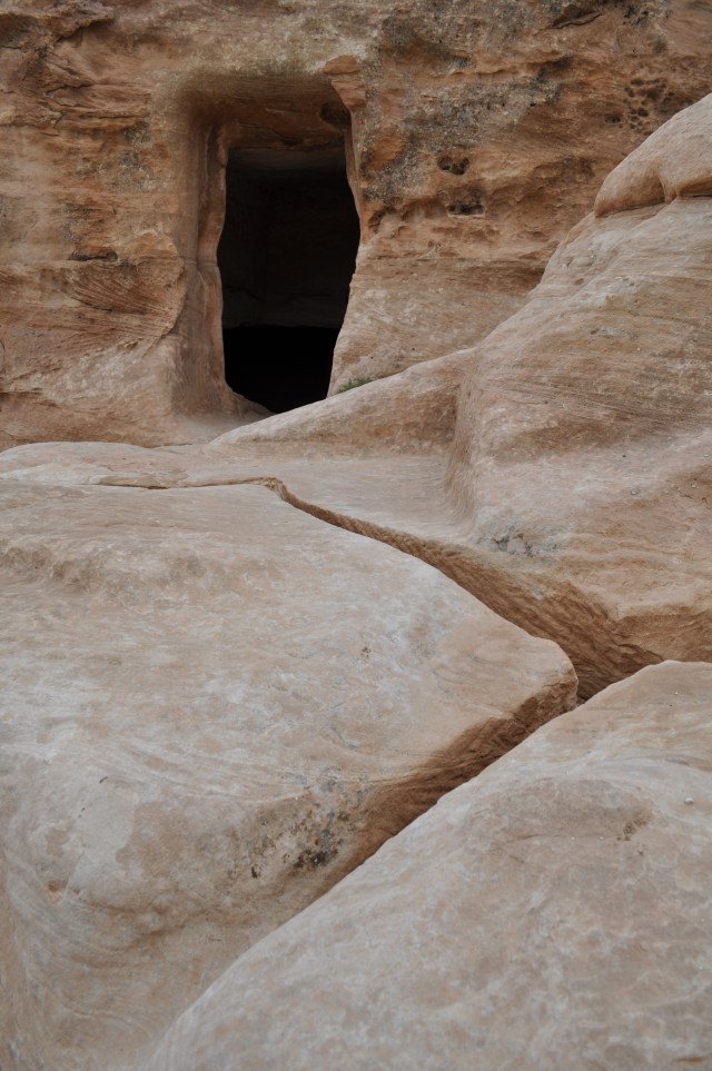
 Small sacrifice area with drain and carved out area that could also collect water carved out chamber for storage of water.
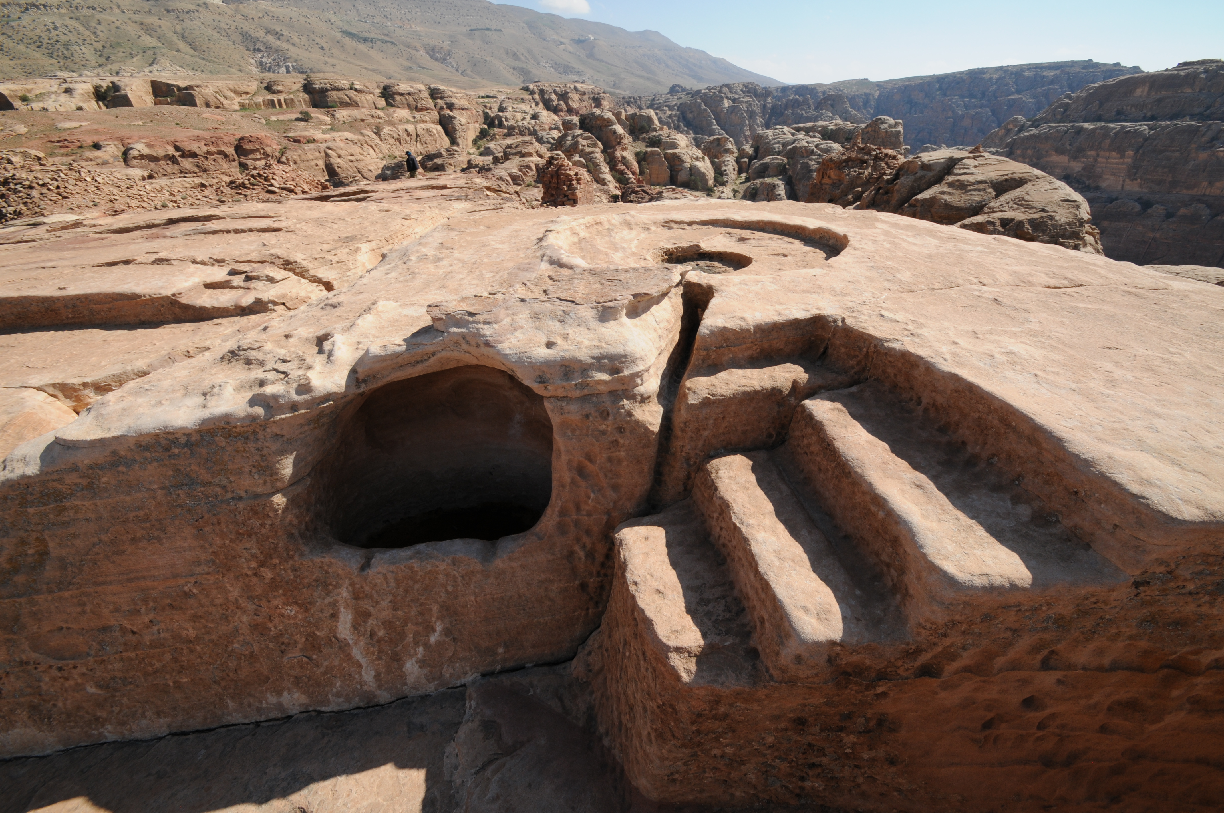
 Cistern at the High Place
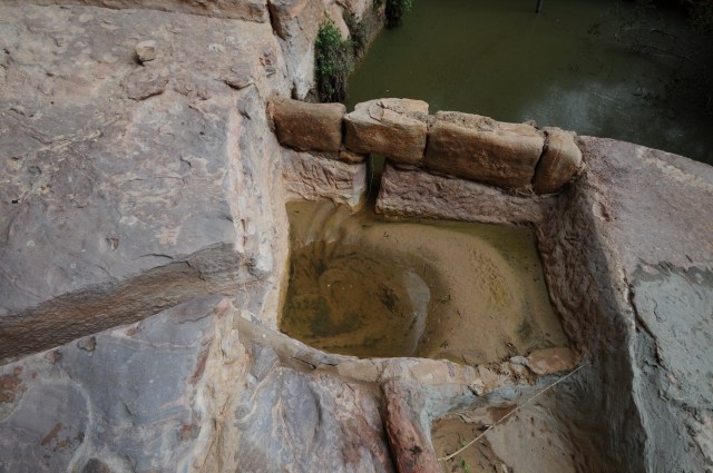
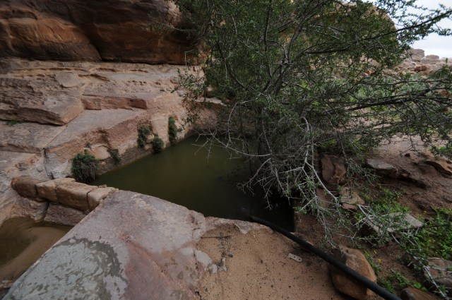
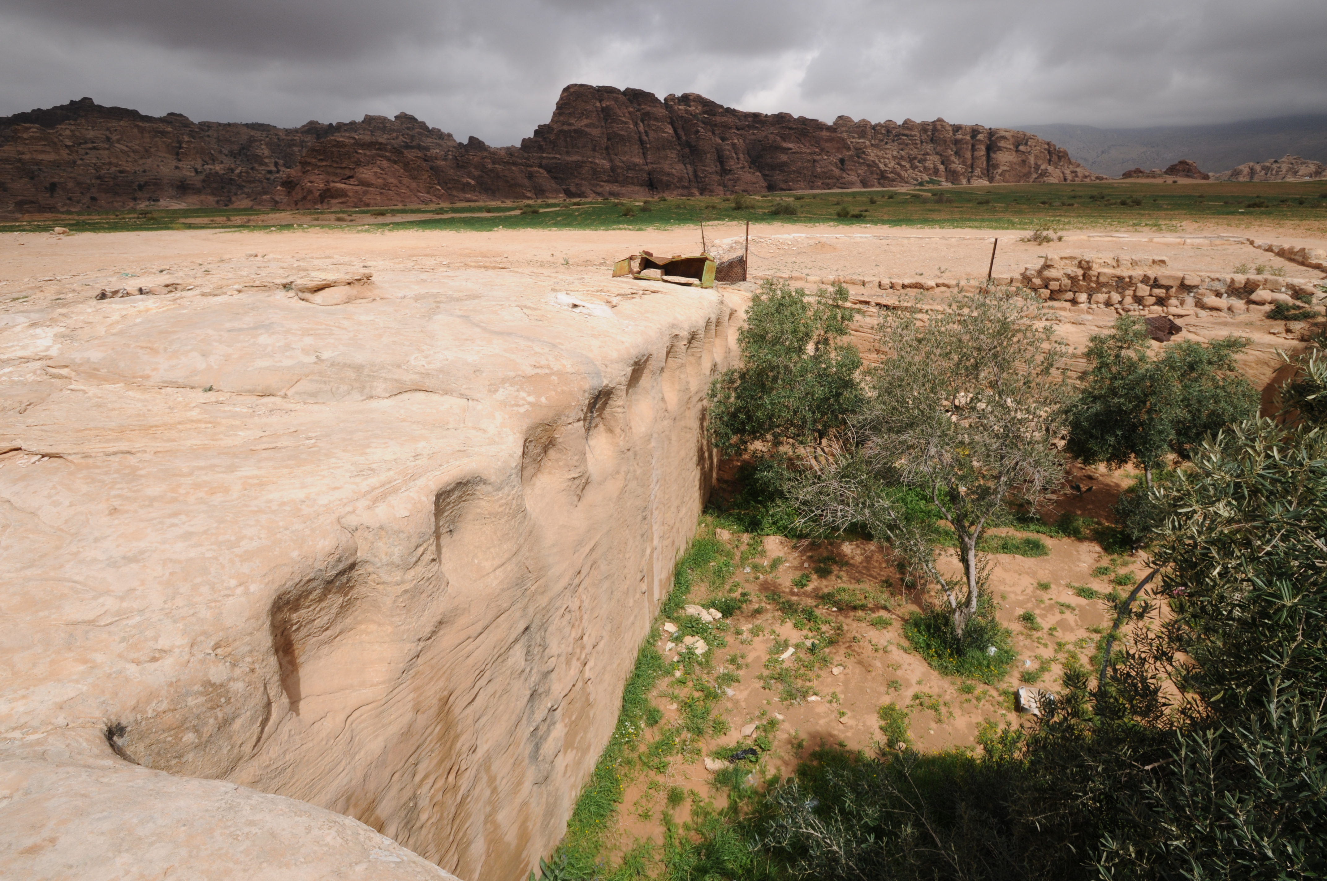
 Cistern at Triclinium of the Garden measures 18.2 m long, 6 m wide and 3.6 m deep.
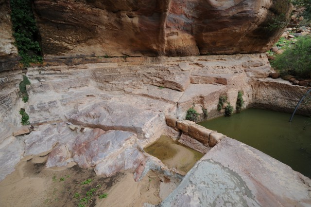
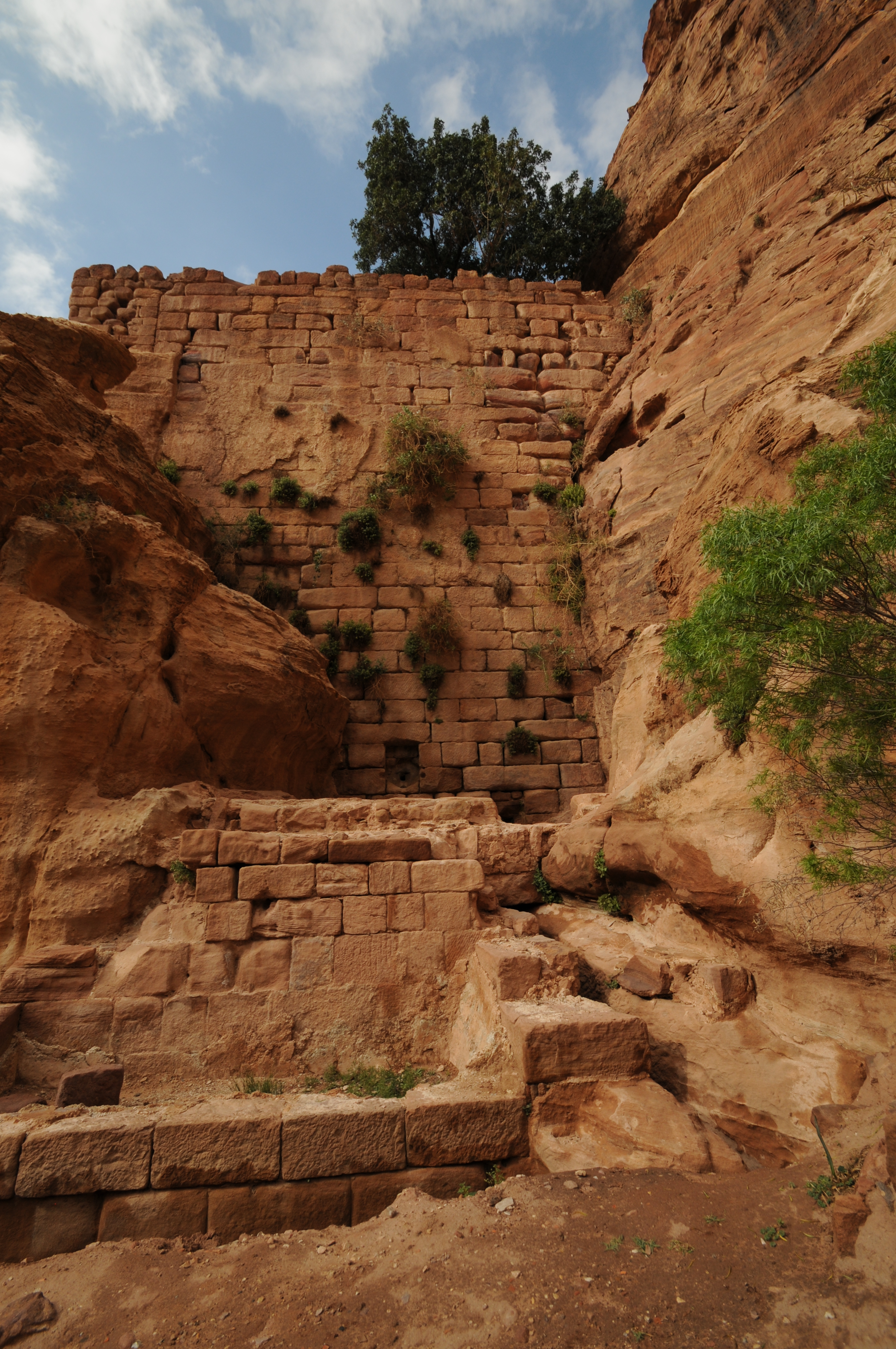
 Retaining wall for cistern with an outlet
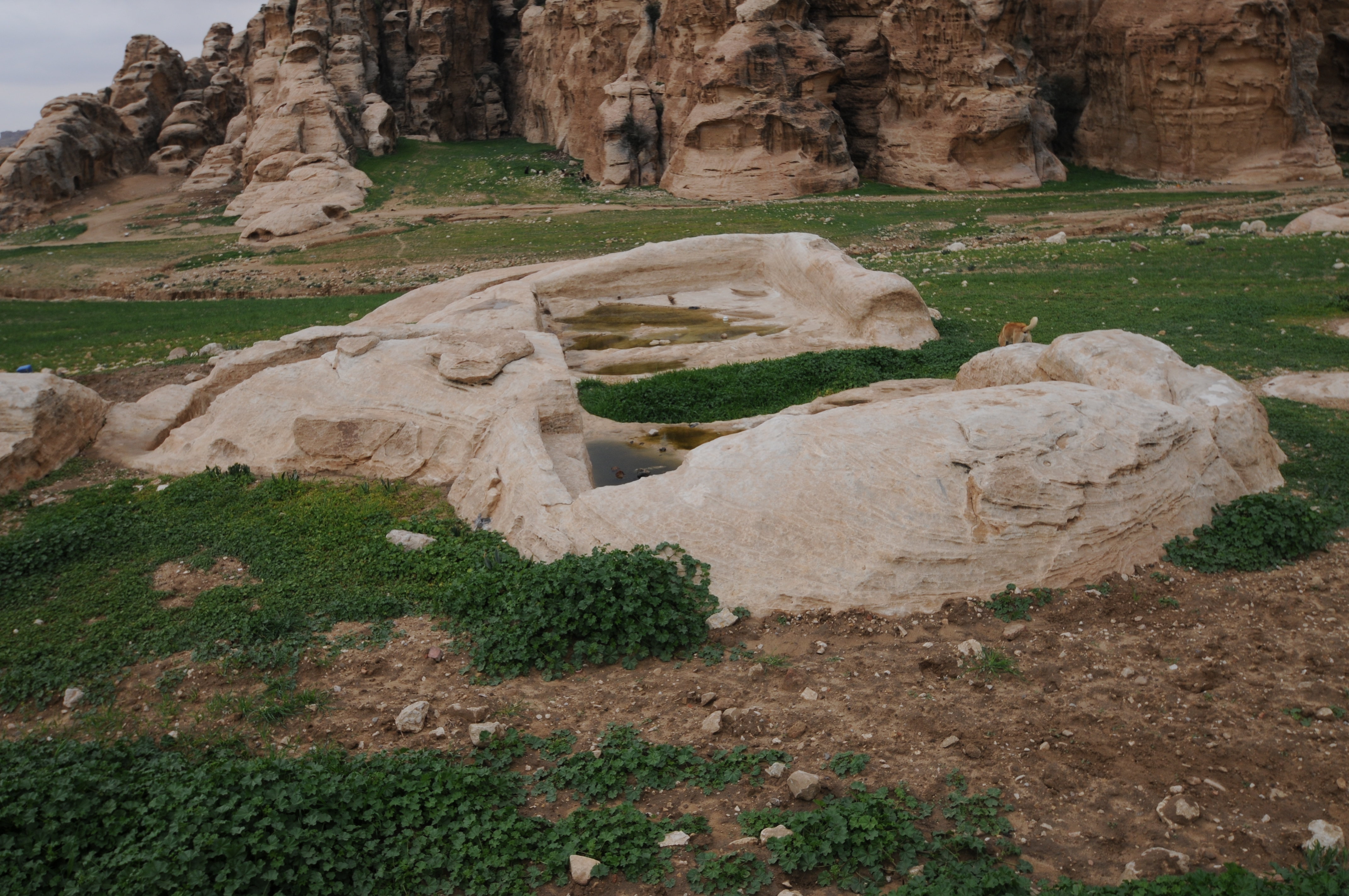
 Basin below the retaining wall of large cistern
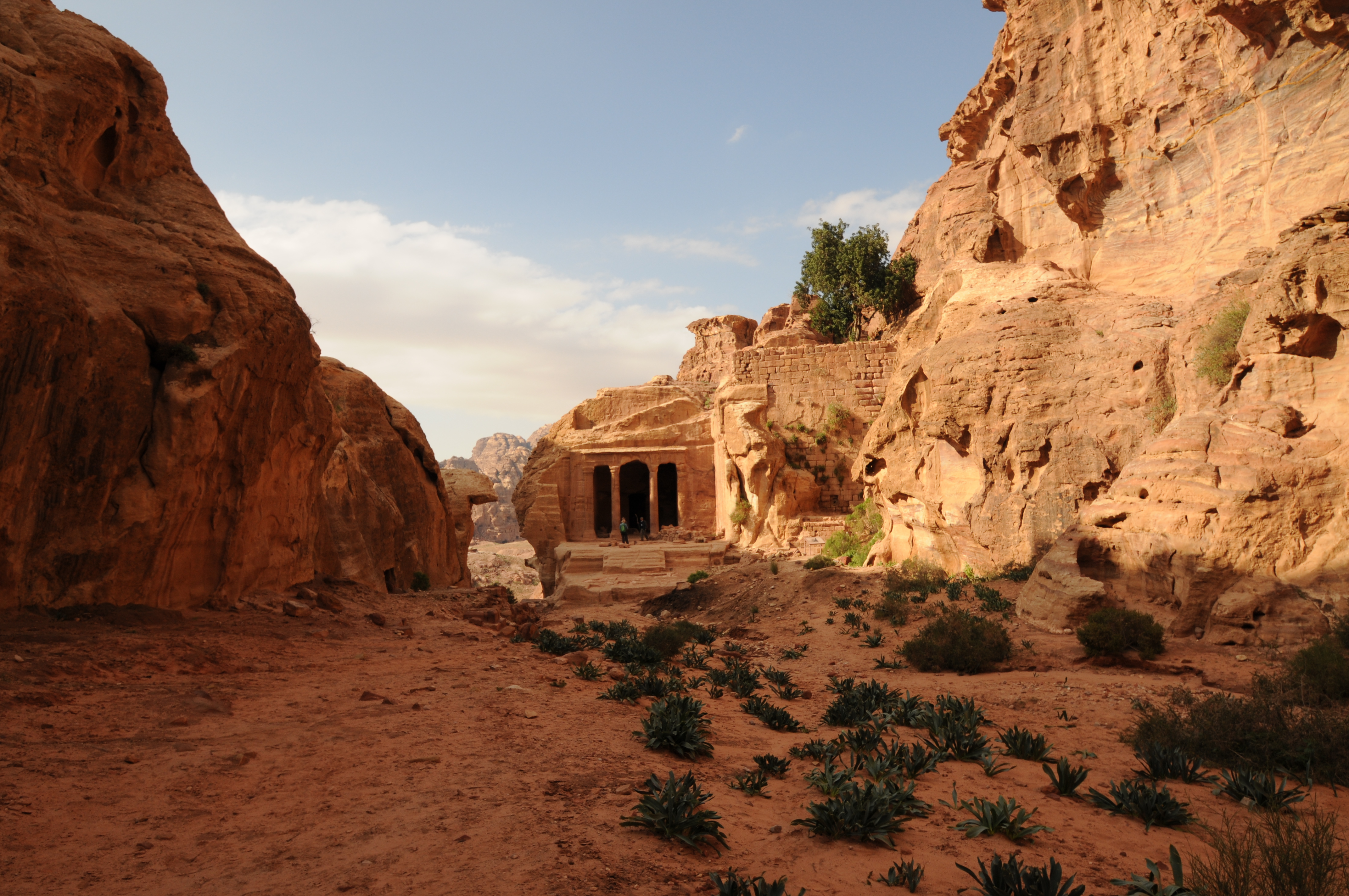
 The Garden Tomb with the cistern retaining wall on the right at the Triclinium
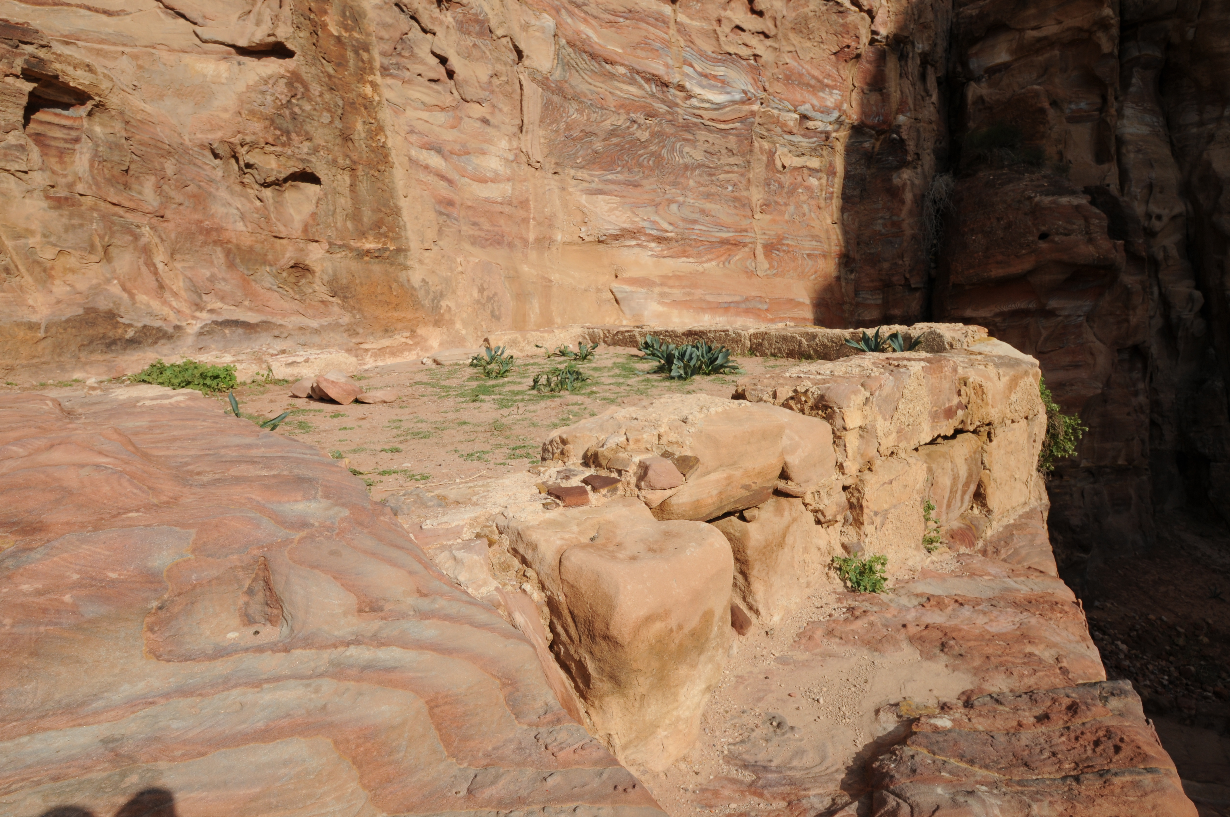
 Showing Garden of the Tomb and the retaining wall
 Small cistern showing the foundations for the arches covering the cistern at the Garden Tomb
  Sedimentation basin on path (steps) down from High Place to Triclinium
 Another view of sedimentation basin on path (steps) down from High Place to Triclinimum
 Channel leading into cistern
Cistern filled with sediment, channel leading to cistern in background.
 Channel leading along steps
 Channel
  Showing small cistern and channel
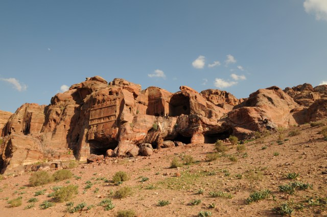
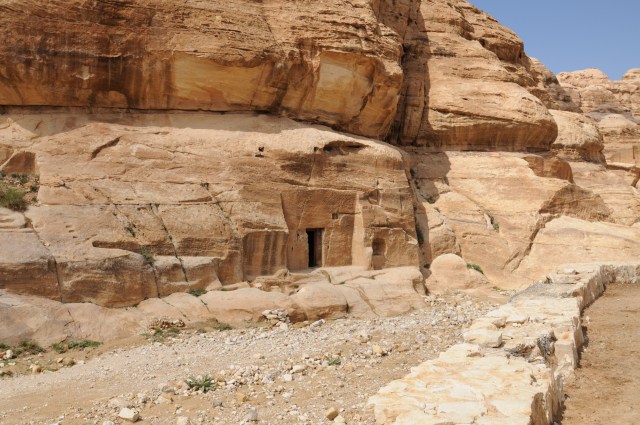
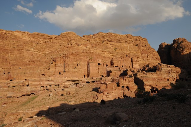 Tombs
Tombs

Showing a natural system of runoff. Water harvesting cavities can form at the base of this type of natural system.
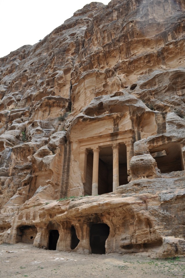
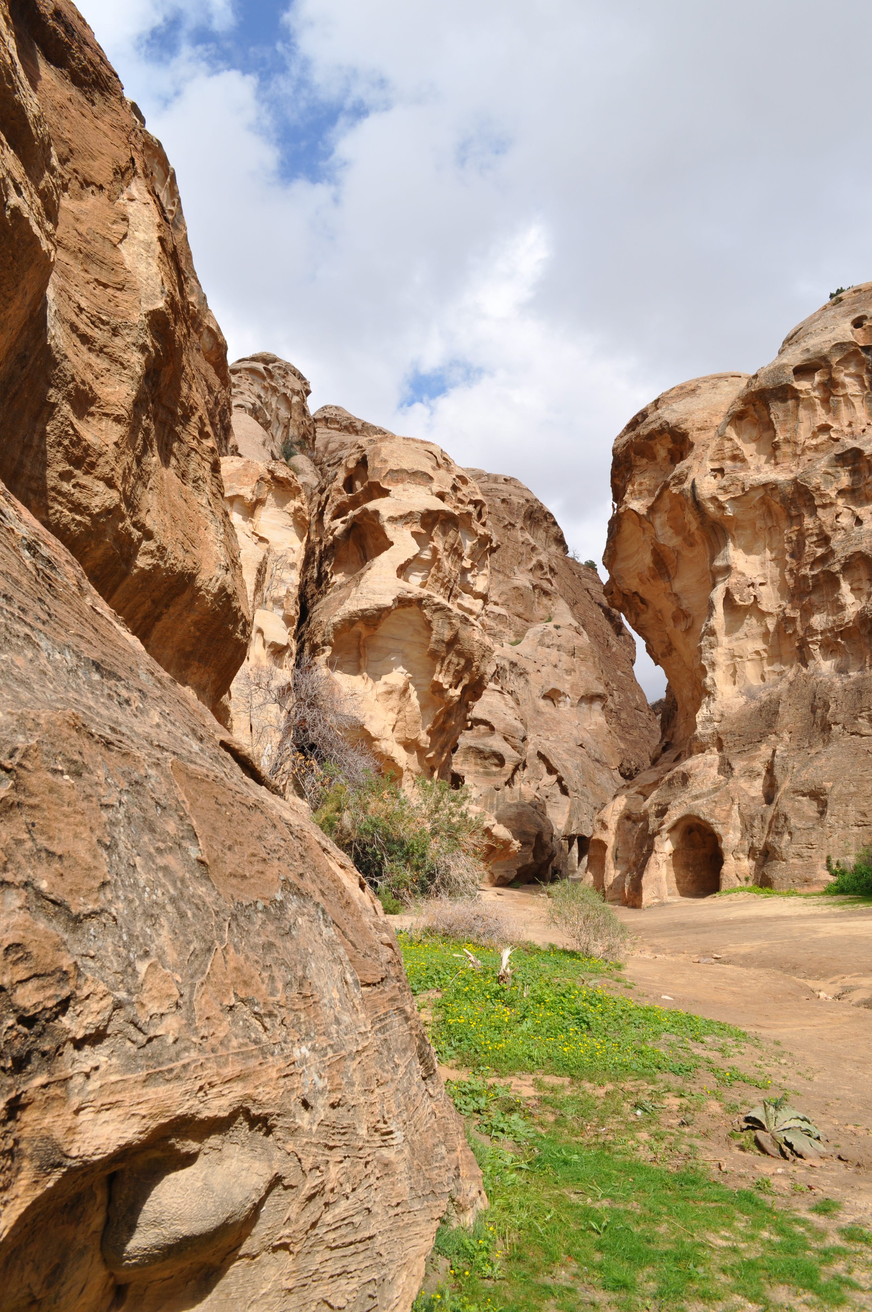
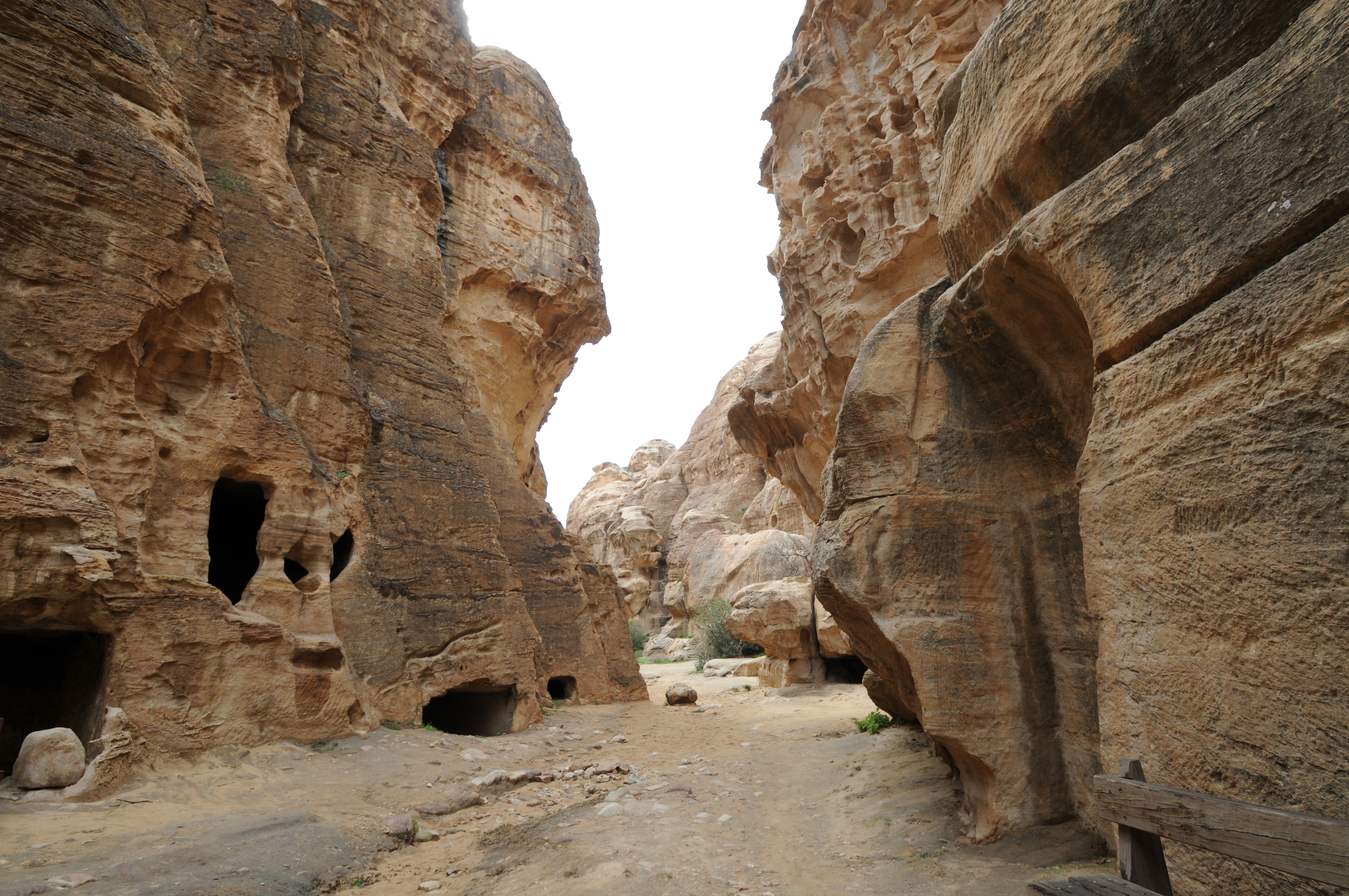
Nabataean city of Little Petra
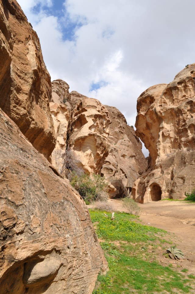
In Little Petra looking back to entrance.
 Little Petra
Little Petra

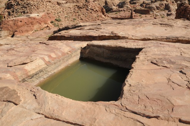
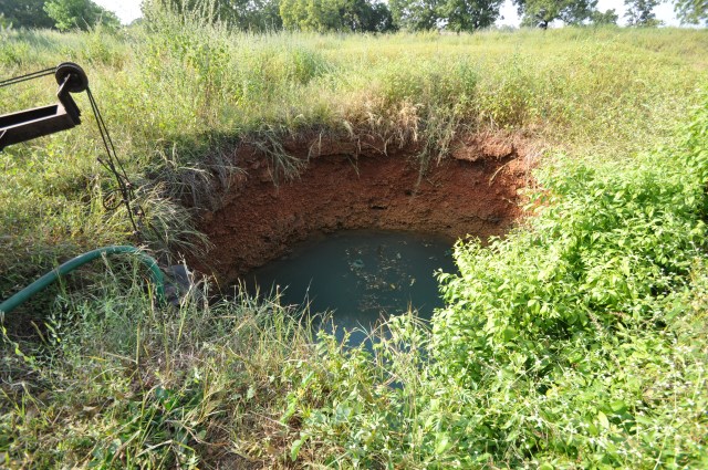
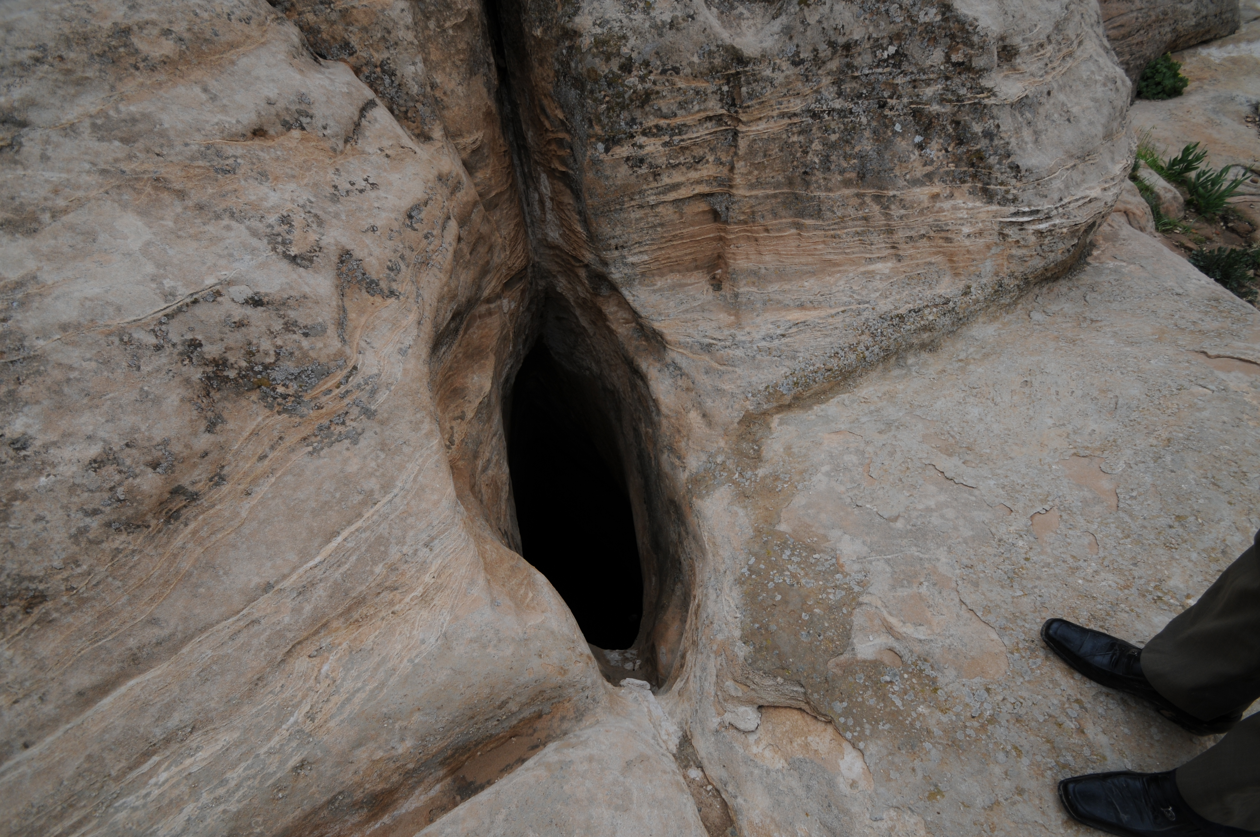
A cistern at the base of the cliff.
Cisterns

Note the level of the water in the cistern.
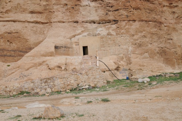
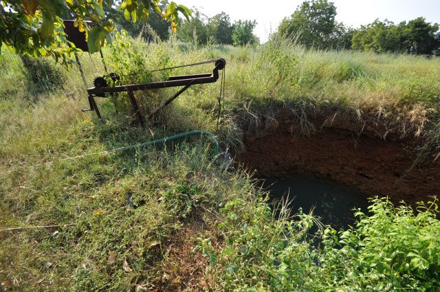
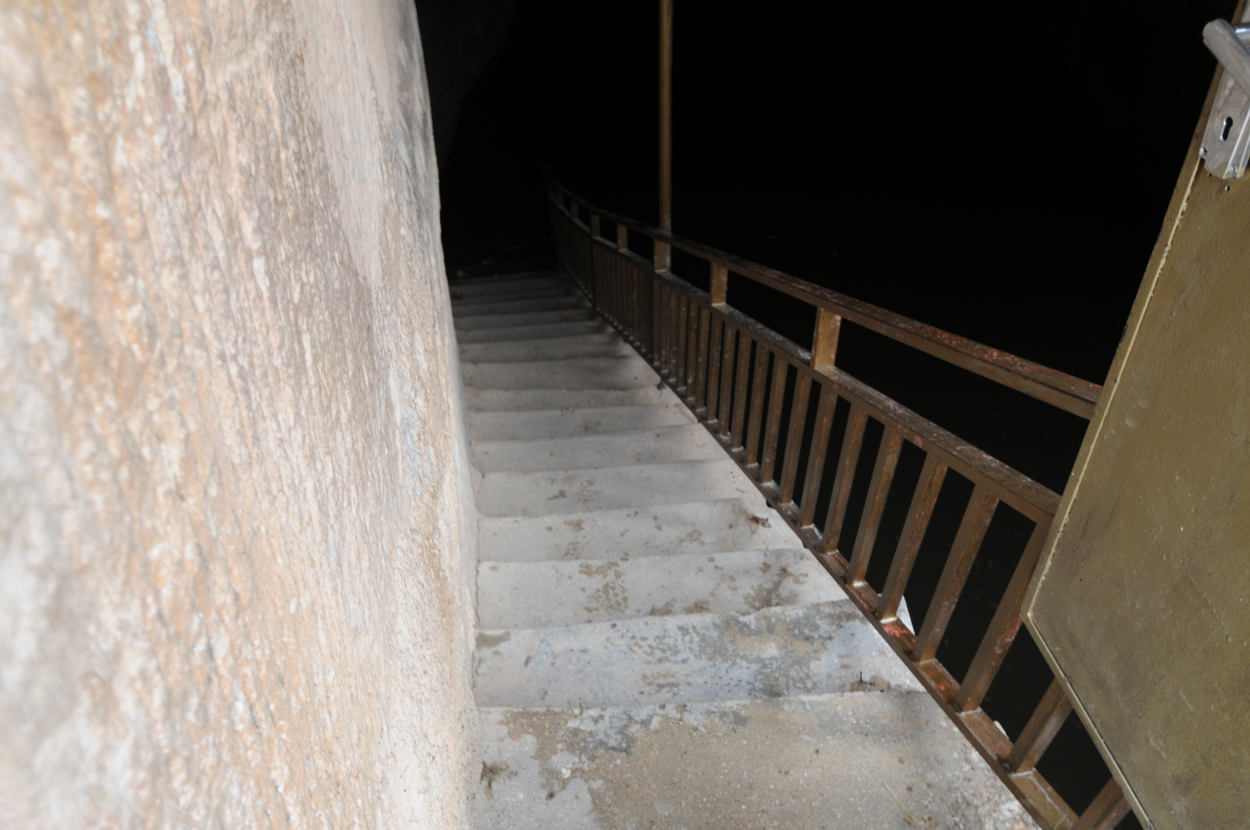
Entrance to large cistern near entrance to Little Petra

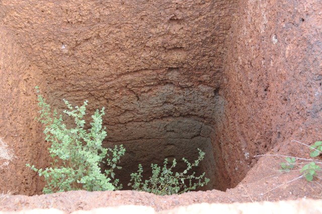
Steps into large cistern
Inside large cistern. To the right and above is where water entered the cistern
Inside large cistern showing opening where water enters cistern.

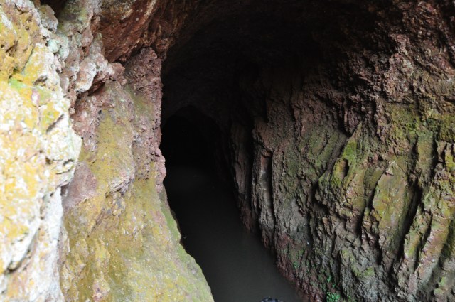
Outside of large cistern showing entrance and where water flows over the cliff to enter the cistern.
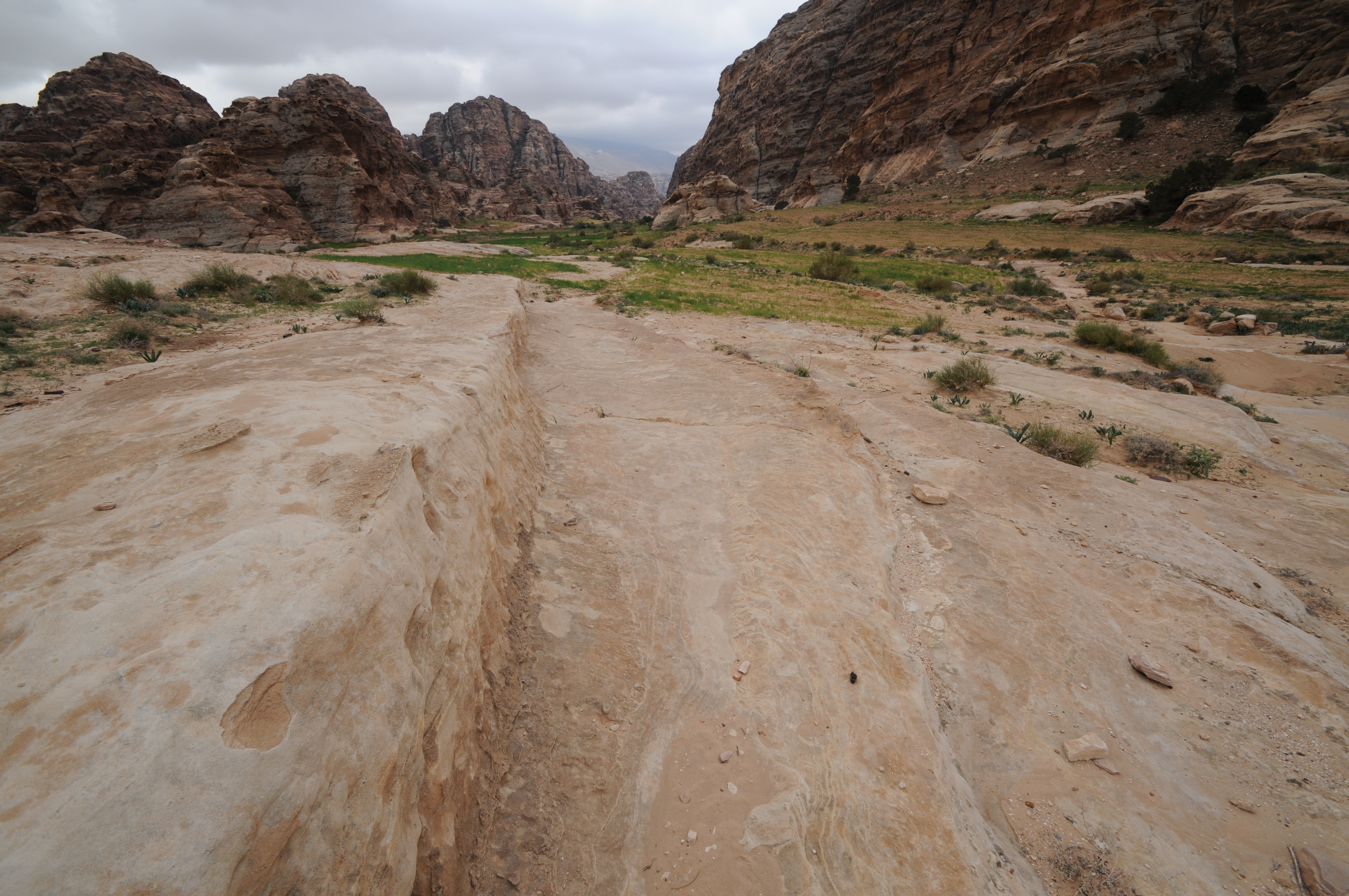
Wadi Al-M’aysra Ash Sharqiyya
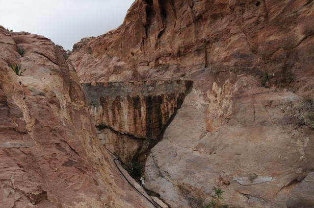
Reservoir embankment (dam) along Wadi

Lower reservoir showing upper reservoir in the background.

Embankment for upper reservoir.

Looking downstream at two reservoirs.
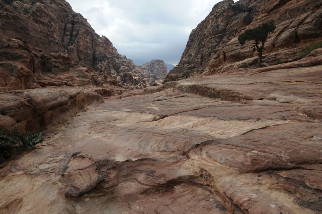
Caravan road along Wadi

Caravan road along Wadi

Caravan road along Wadi
Settling basin for flow entering the larger cistern
Shows the settling basin and the cistern
Settling basin and cistern


 Cistern near entrance to Little Petra showing that the cistern was modified at some time

Cistern showing channel into the cistern
 Cistern
Cistern entrance and water channels leading to cistern

Inside cistern above
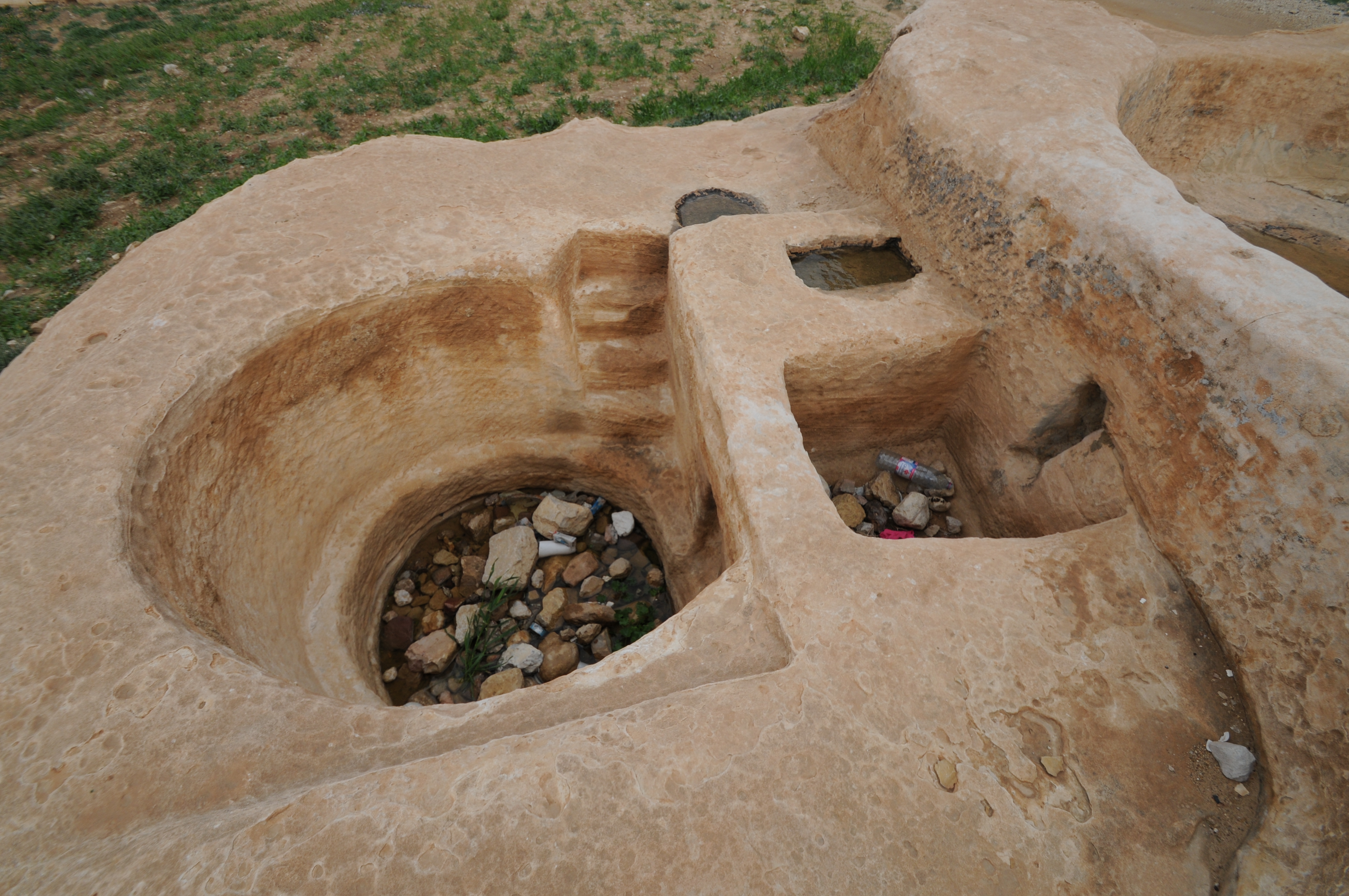
 Cistern with steps receiving tank to left and then the settling tank.
 Cistern with settling basin and shows steps down into cistern
 Cistern
 Cistern
 Cistern with receiving tank and settling basin
 Channel to a cistern
 Entrance to a cistern

Cistern
Nabataean city of ancient Hawara, modern Humayma or “Humeima”
Humayma was a small trading post and caravan way-station, founded by the Nabataean King Aretas III in the 80’s B.C.
The water management system was impressively developed for the settlement area taking in account the runoff potential of the area and the ability to design the settlement to capture the water.

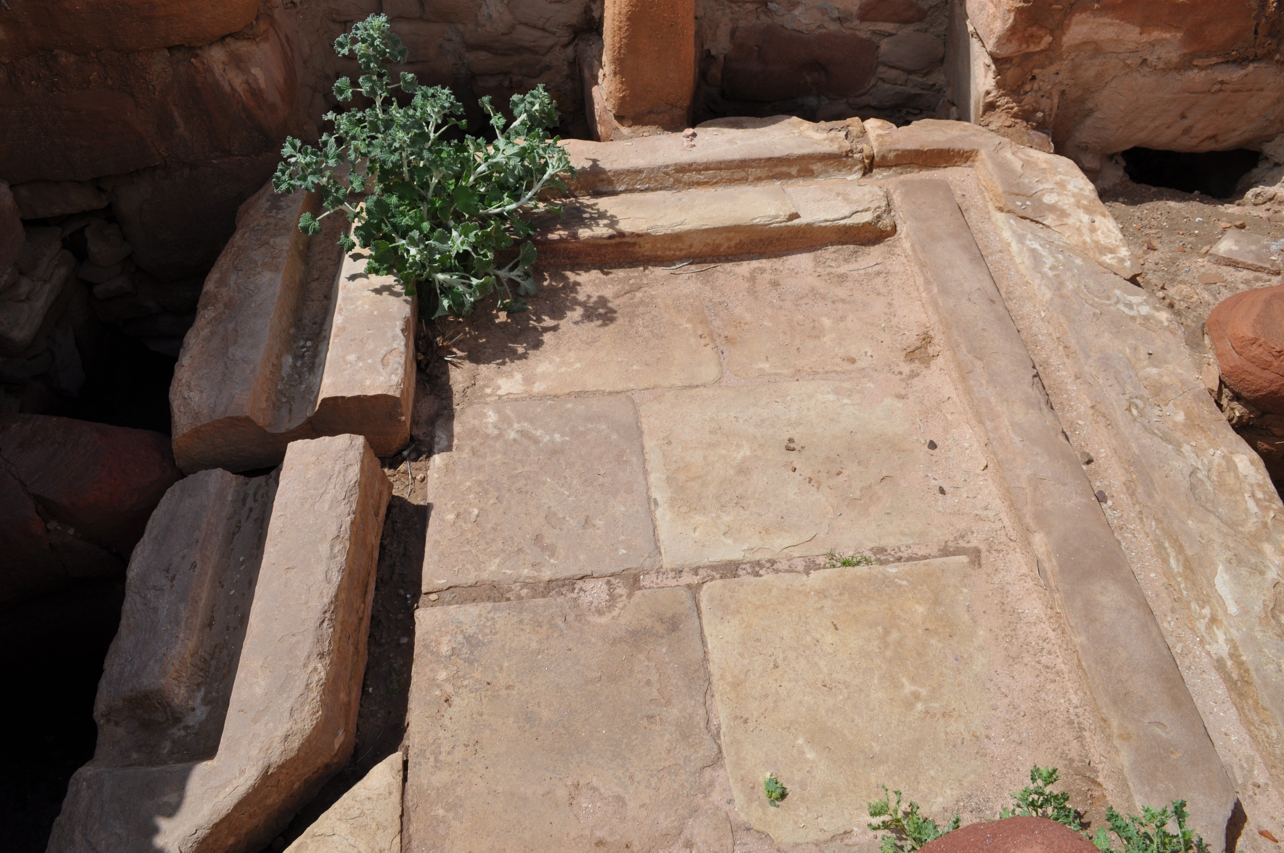
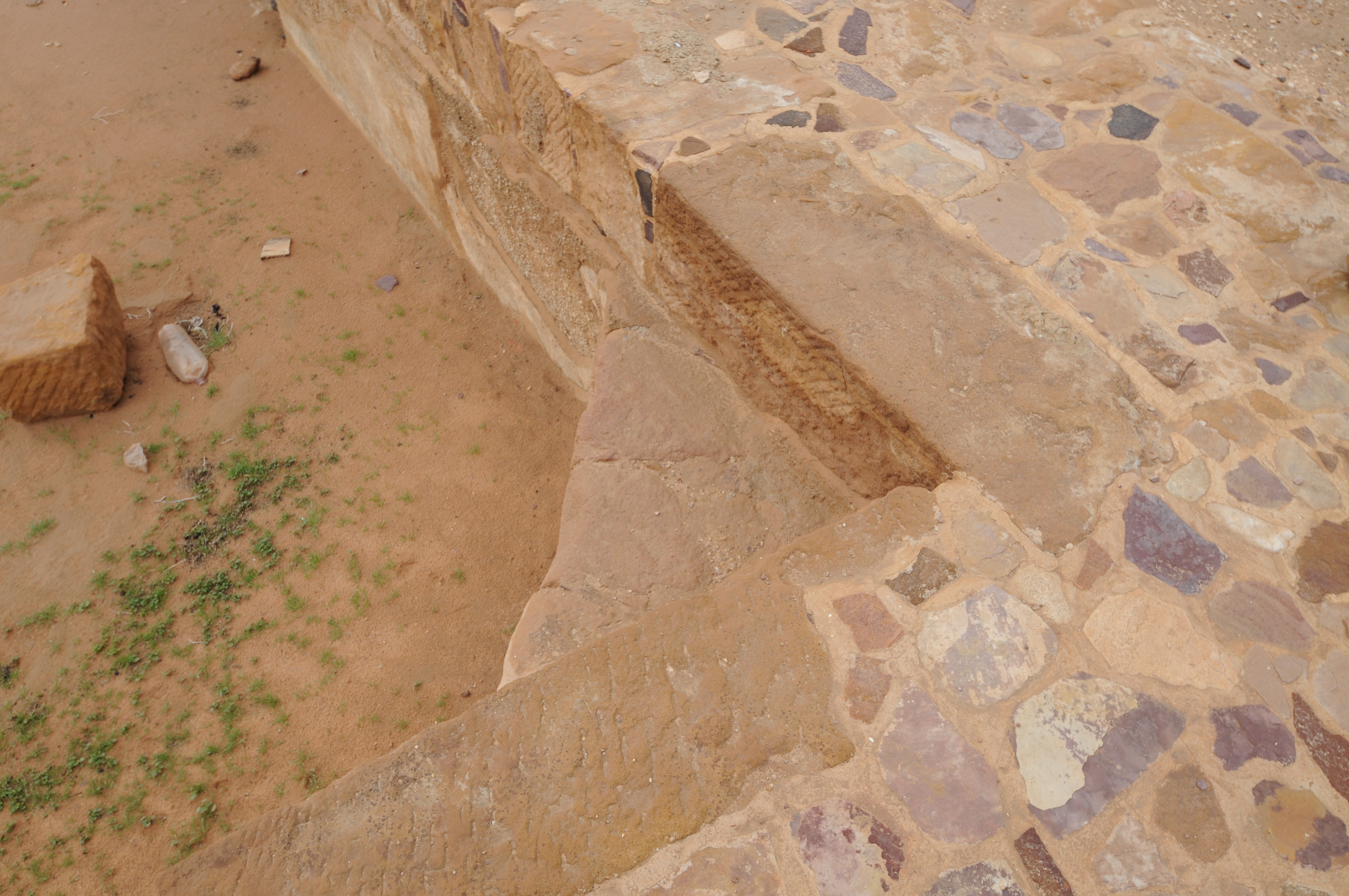
Reservoir possibly swimming pool)

Each corner of reservoir (swimming pool) above has the step.
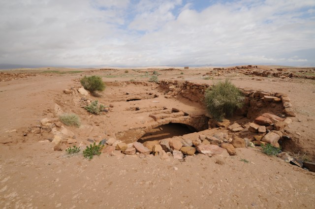
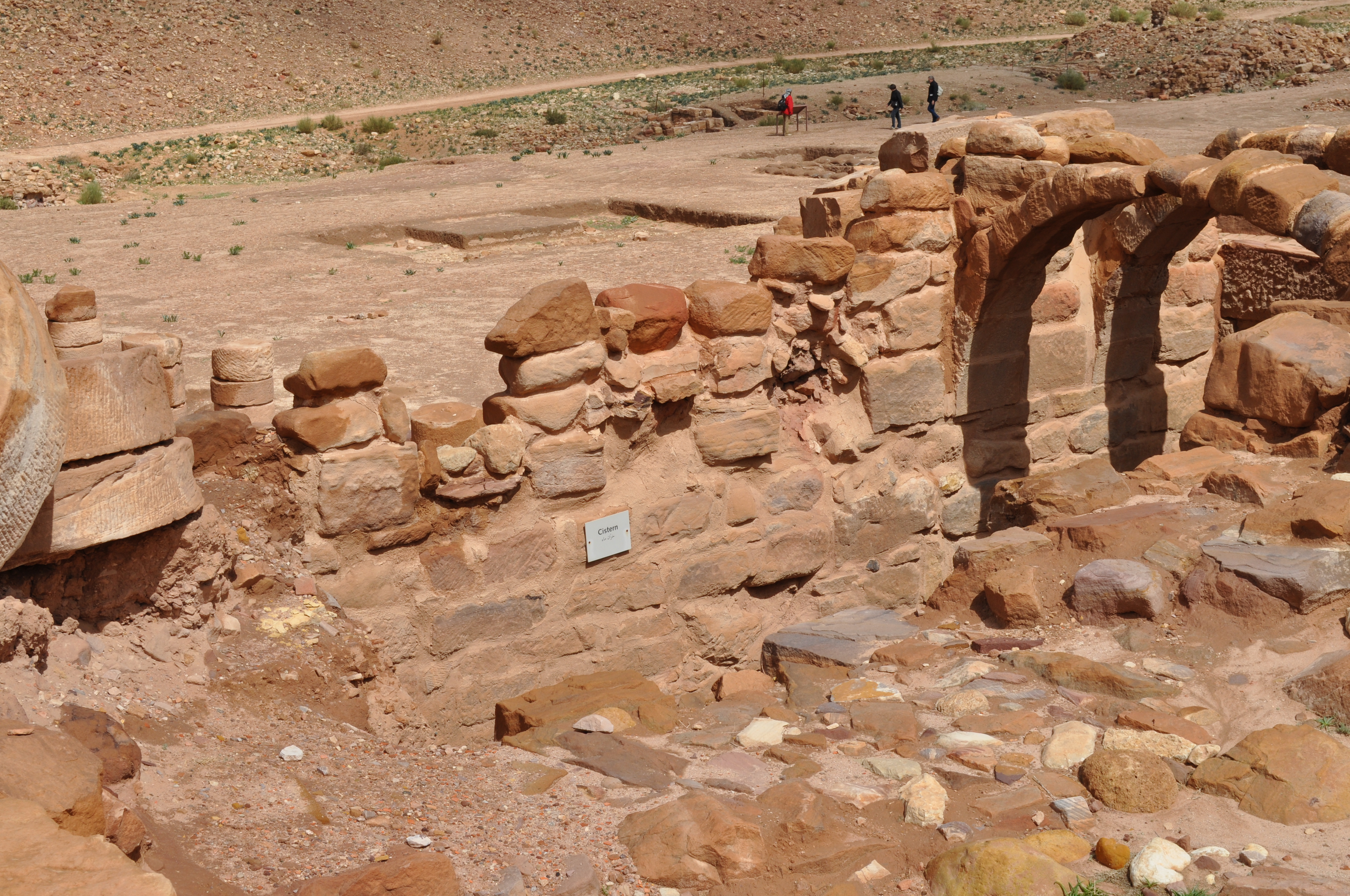
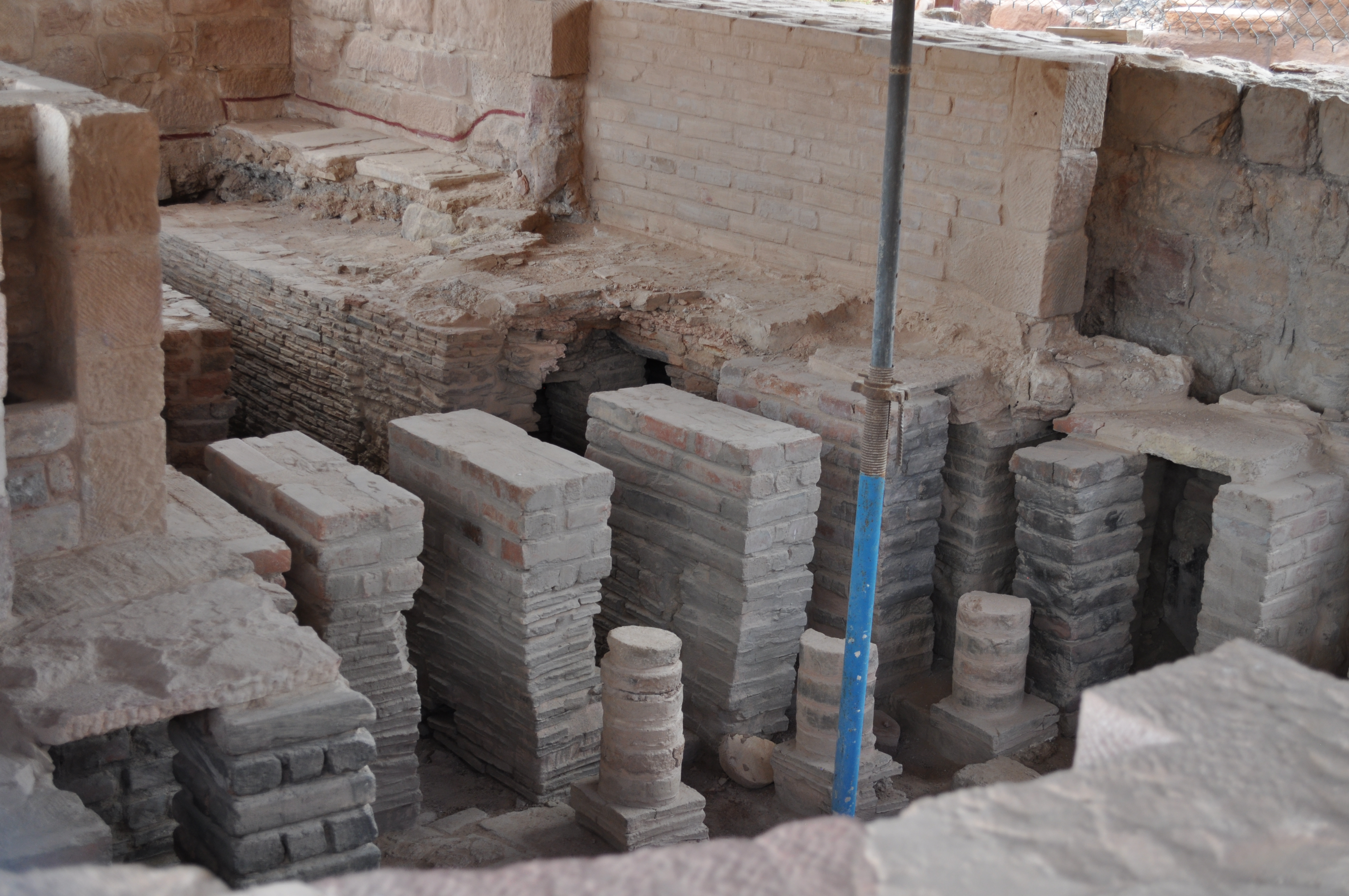
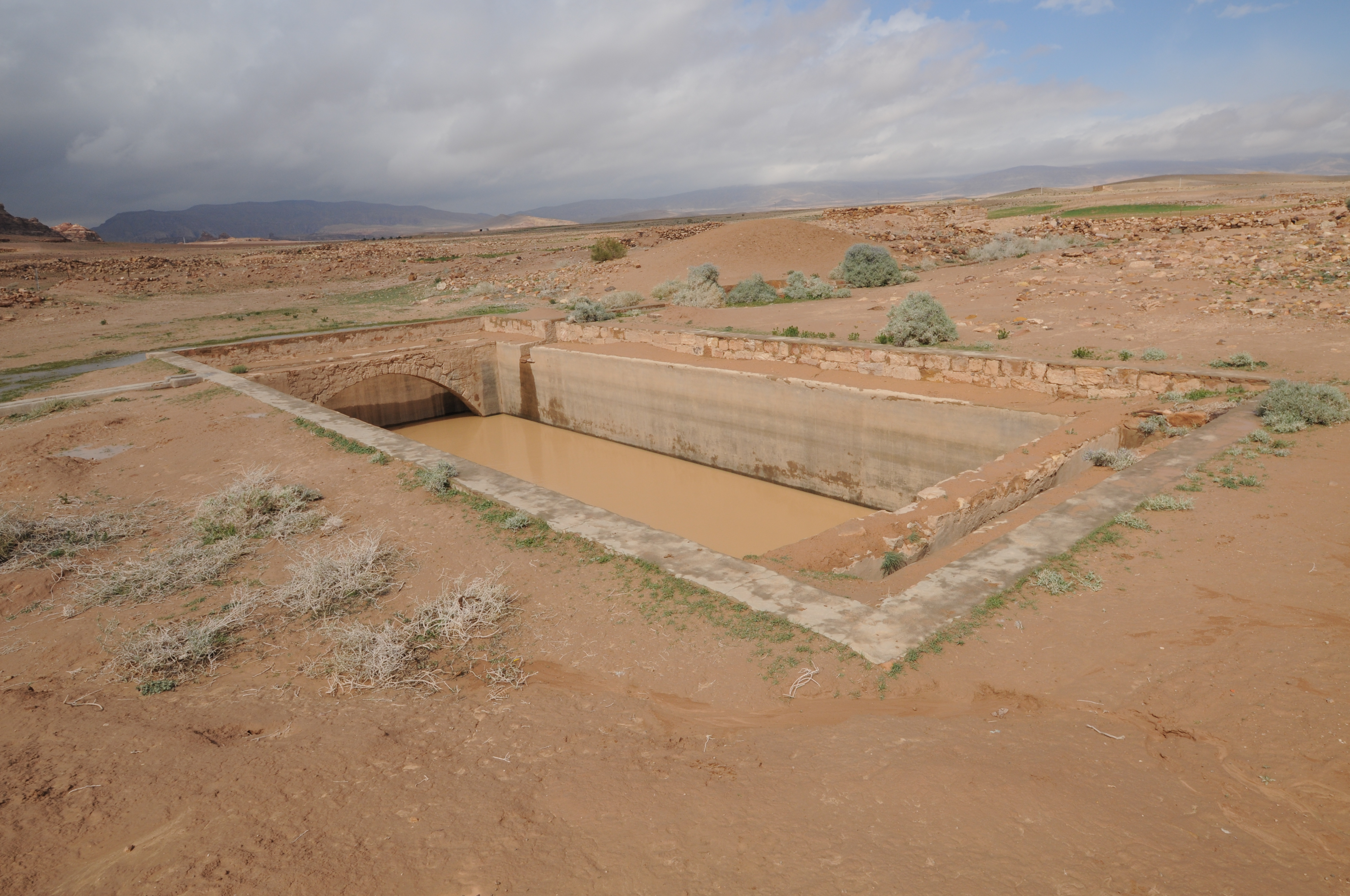
Cistern that has been referred as a flood harvesting system.
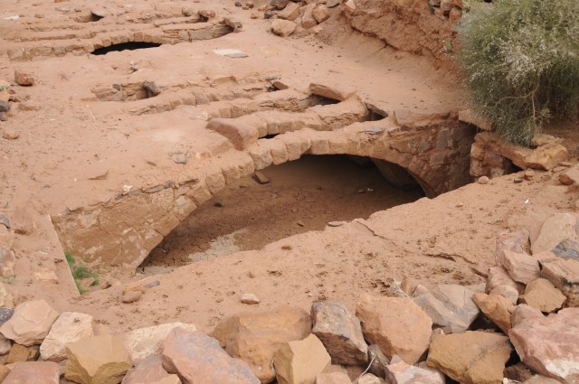
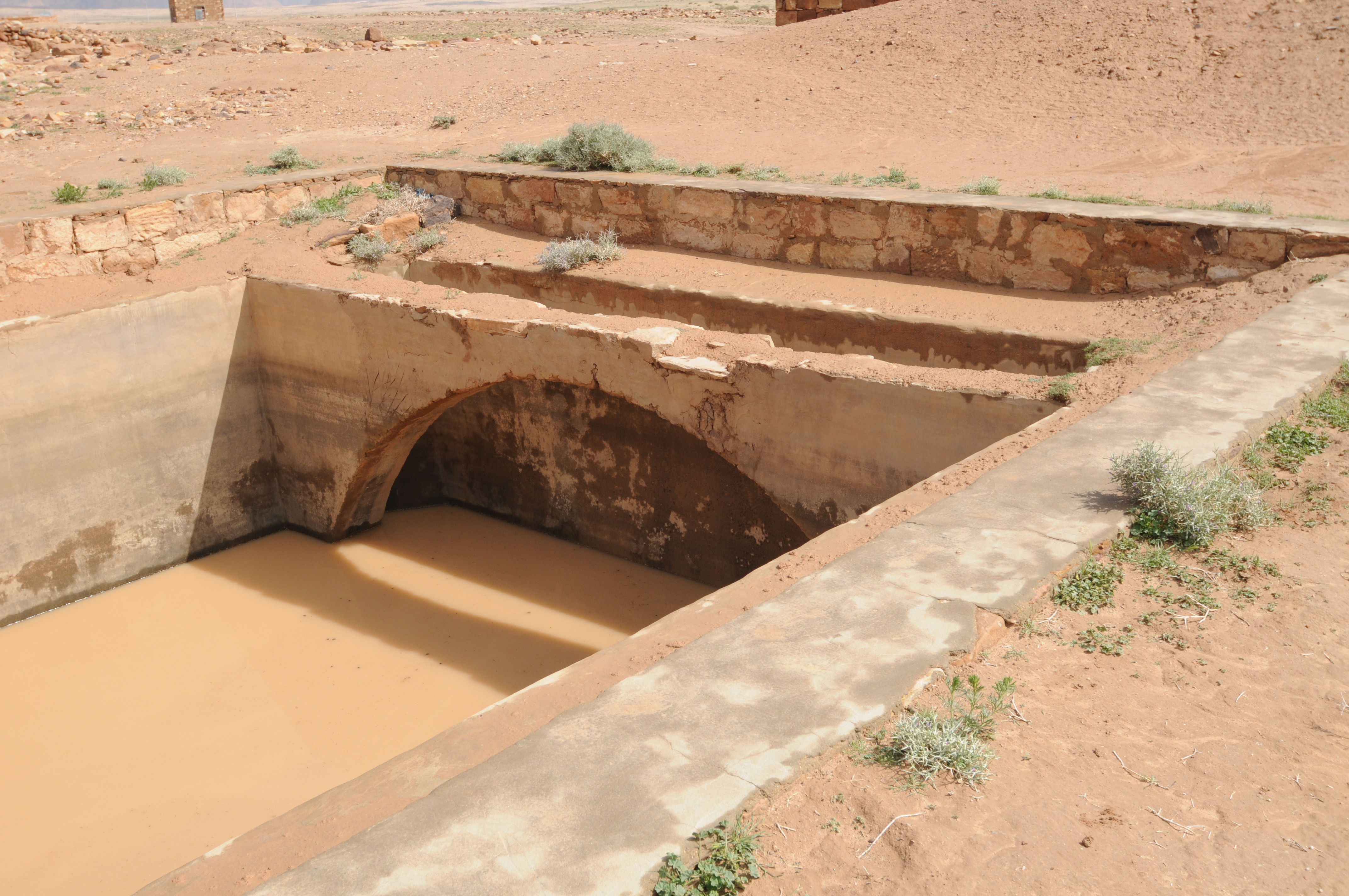
Closer view of cistern showing the arches used to support the cistern roof
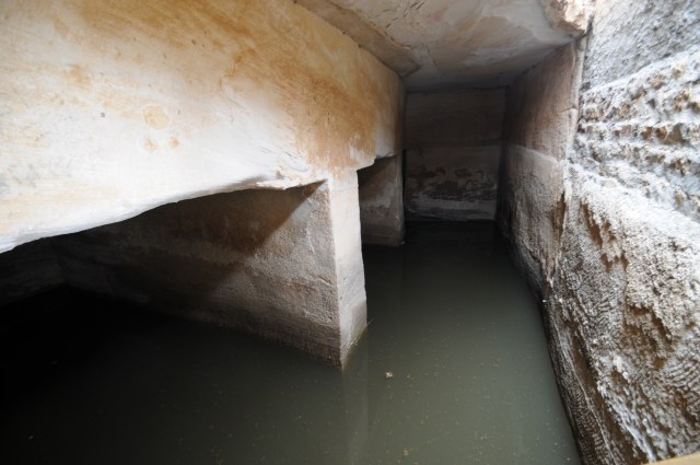
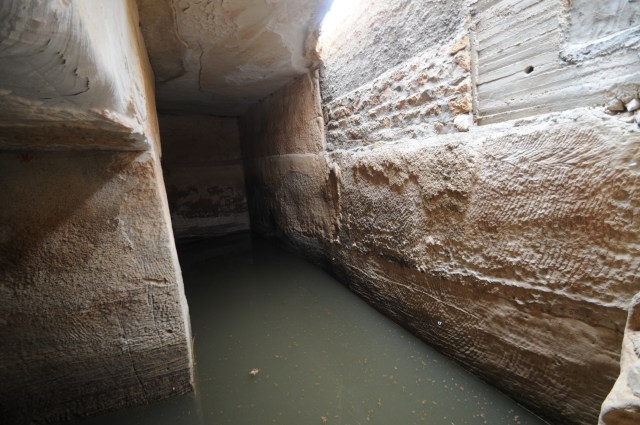
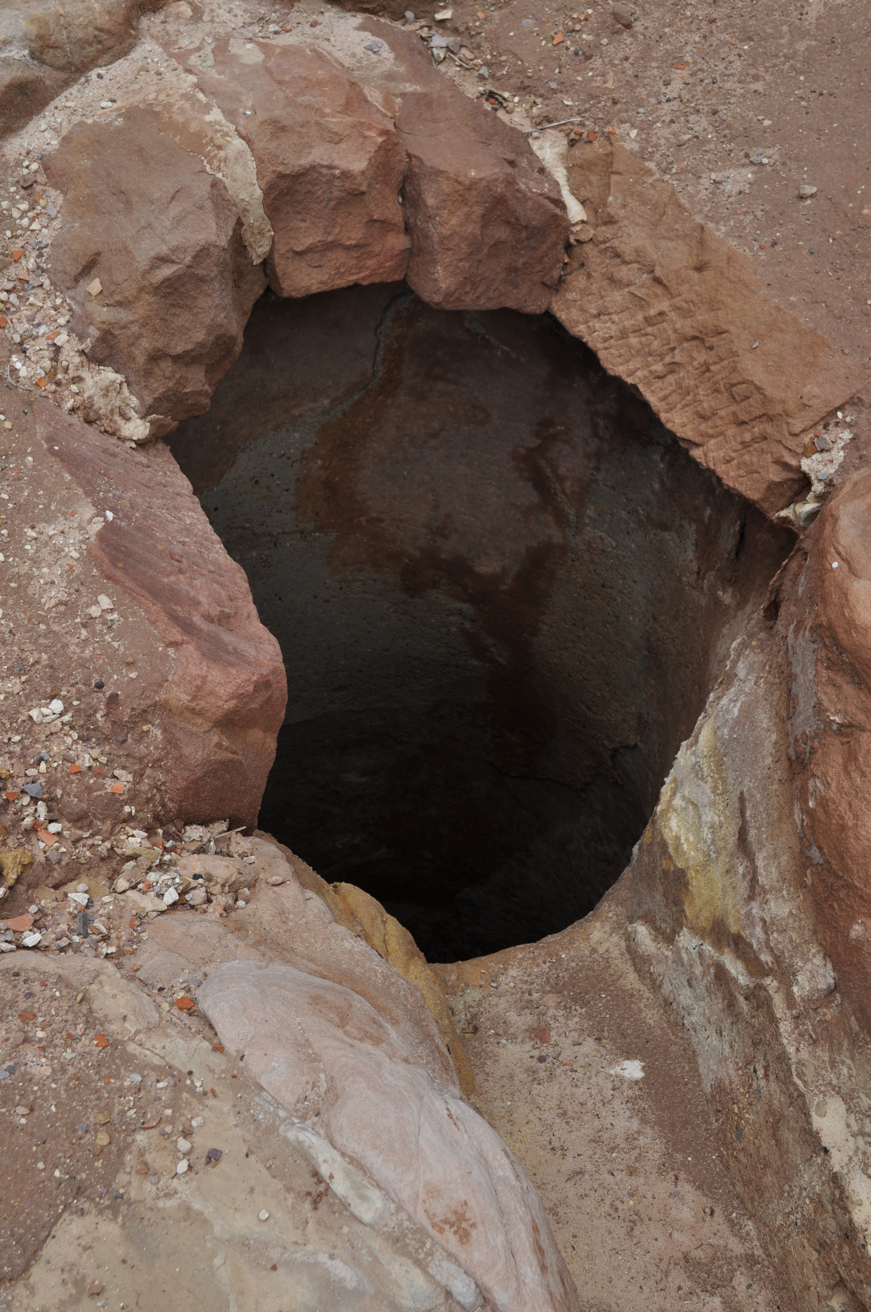
 Rock-cut cistern with plaster on walls and support locations for the arch cover.
 Reservoir

Reservoir
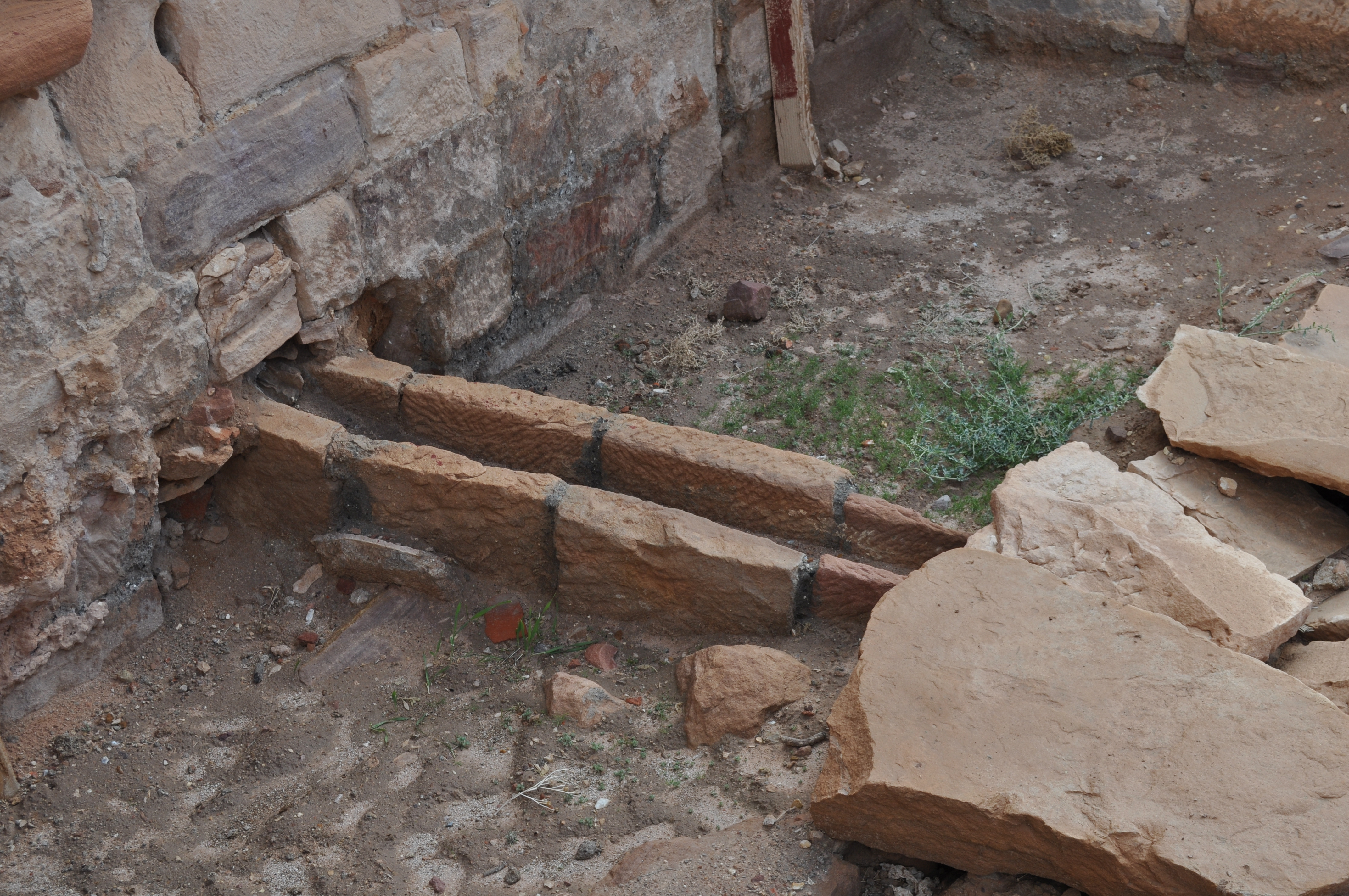
 Settling tank for reservoir in above two photos showing aqueduct in background


![Arabia-Egypt-Petra[1]](https://ancientwatertechnologies.com/wp-content/uploads/2014/03/arabia-egypt-petra1.jpg)


